
Presidential Towers
555 W Madison St,
Chicago, IL 60661
$1,800 - $4,965
Studio - 2 Beds
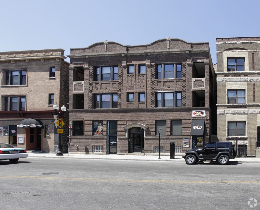
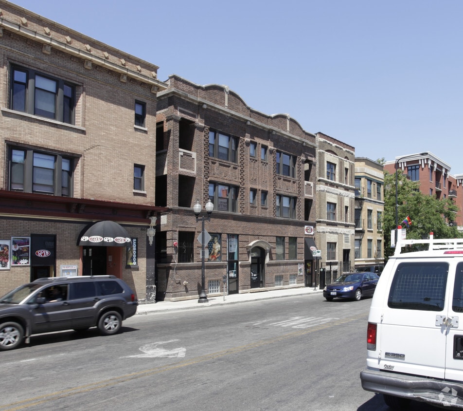
3210 N Halsted St offers a mixture of style and livability. The 60657 location is an ideal place to move. Here at this community, the leasing staff is ready to help you in finding the perfect place. Schedule a time to see the available floorplan options. It's time to get moving on finding your next place. Contact or stop by the 3210 N Halsted St leasing office to check the current floorplan availability.
3210 N Halsted St is an apartment community located in Cook County and the 60657 ZIP Code. This area is served by the Chicago Public Schools attendance zone.
If you love baseball — particularly if you love the Chicago Cubs — there's only one neighborhood for you: Lakeview! Bordering Lake Michigan on the north side of Chicago directly above Lincoln Park, Lakeview houses one of Chicago’s most popular destinations: Wrigley Field. Originally built in 1914 for Federal League’s Chicago Whales, Wrigley Field is one the oldest still-operating stadiums in the MLB. It was renamed Wrigley Field in 1926 by then-owner William Wrigley Jr., a chewing gum manufacturer.
Of course, there's more to Lakeview than baseball. From the luxury high-rise apartments along Lake Shore Drive to the tree-filled streets and single-family homes in Graceland West, there's something for everyone in Lakeview. This large neighborhood consists of several smaller enclaves, including Wrigleyville, Boystown, and North Halsted. Lakeview features several theaters, such as the Music Box Theater and the Playground Theater, as well as music venues and shops.
Learn more about living in LakeviewCompare neighborhood and city base rent averages by bedroom.
| Lakeview | Chicago, IL | |
|---|---|---|
| Studio | $1,370 | $1,627 |
| 1 Bedroom | $1,943 | $2,019 |
| 2 Bedrooms | $2,718 | $2,536 |
| 3 Bedrooms | $3,779 | $3,055 |
| Colleges & Universities | Distance | ||
|---|---|---|---|
| Colleges & Universities | Distance | ||
| Drive: | 3 min | 1.4 mi | |
| Drive: | 4 min | 1.9 mi | |
| Drive: | 5 min | 2.4 mi | |
| Drive: | 6 min | 2.9 mi |


Transportation options available in Chicago include Belmont Station (Brown, Purple, Red Lines), located 0.2 mile from 3210 N Halsted St. 3210 N Halsted St is near Chicago Midway International, located 14.4 miles or 25 minutes away, and Chicago O'Hare International, located 14.6 miles or 24 minutes away.
| Transit / Subway | Distance | ||
|---|---|---|---|
| Transit / Subway | Distance | ||
|
|
Walk: | 4 min | 0.2 mi |
|
|
Walk: | 9 min | 0.5 mi |
|
|
Walk: | 13 min | 0.7 mi |
|
|
Walk: | 14 min | 0.7 mi |
|
|
Walk: | 17 min | 0.9 mi |
| Commuter Rail | Distance | ||
|---|---|---|---|
| Commuter Rail | Distance | ||
|
|
Drive: | 5 min | 2.6 mi |
|
|
Drive: | 6 min | 2.6 mi |
|
|
Drive: | 9 min | 4.2 mi |
| Drive: | 7 min | 5.2 mi | |
|
|
Drive: | 11 min | 5.6 mi |
| Airports | Distance | ||
|---|---|---|---|
| Airports | Distance | ||
|
Chicago Midway International
|
Drive: | 25 min | 14.4 mi |
|
Chicago O'Hare International
|
Drive: | 24 min | 14.6 mi |
Scores provided by
Traffic
-Airport
-Businesses
-Scores provided by
HowLoud What is a Sound Score Rating? A Sound Score Rating aggregates noise caused by vehicle traffic, airplane traffic and local sources. How It WorksTime and distance from 3210 N Halsted St.
| Shopping Centers | Distance | ||
|---|---|---|---|
| Shopping Centers | Distance | ||
| Walk: | 2 min | 0.1 mi | |
| Walk: | 5 min | 0.3 mi | |
| Walk: | 7 min | 0.4 mi |
| Parks and Recreation | Distance | ||
|---|---|---|---|
| Parks and Recreation | Distance | ||
|
Notebaert Nature Museum
|
Drive: | 3 min | 1.5 mi |
|
Lincoln Park
|
Drive: | 3 min | 1.6 mi |
|
Oz Park
|
Drive: | 3 min | 1.7 mi |
|
Lincoln Park Zoo
|
Drive: | 3 min | 1.7 mi |
|
Wrightwood Park
|
Drive: | 4 min | 2.1 mi |
| Hospitals | Distance | ||
|---|---|---|---|
| Hospitals | Distance | ||
| Walk: | 7 min | 0.4 mi | |
| Walk: | 19 min | 1.0 mi | |
| Walk: | 19 min | 1.0 mi |
| Military Bases | Distance | ||
|---|---|---|---|
| Military Bases | Distance | ||
| Drive: | 32 min | 22.3 mi |
What Are Walk Score®, Transit Score®, and Bike Score® Ratings?
Walk Score® measures the walkability of any address. Transit Score® measures access to public transit. Bike Score® measures the bikeability of any address.
What is a Sound Score Rating?
A Sound Score Rating aggregates noise caused by vehicle traffic, airplane traffic and local sources.

3210 N Halsted St
Chicago, IL 60657


