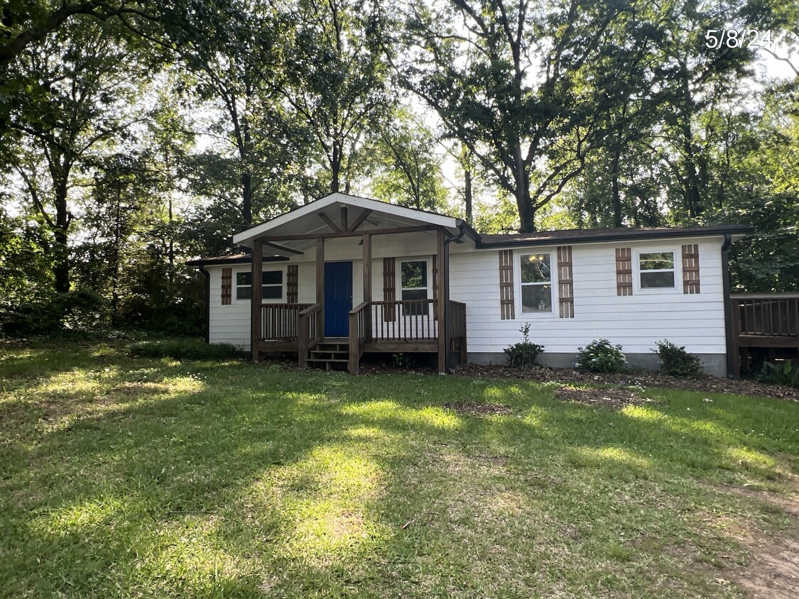
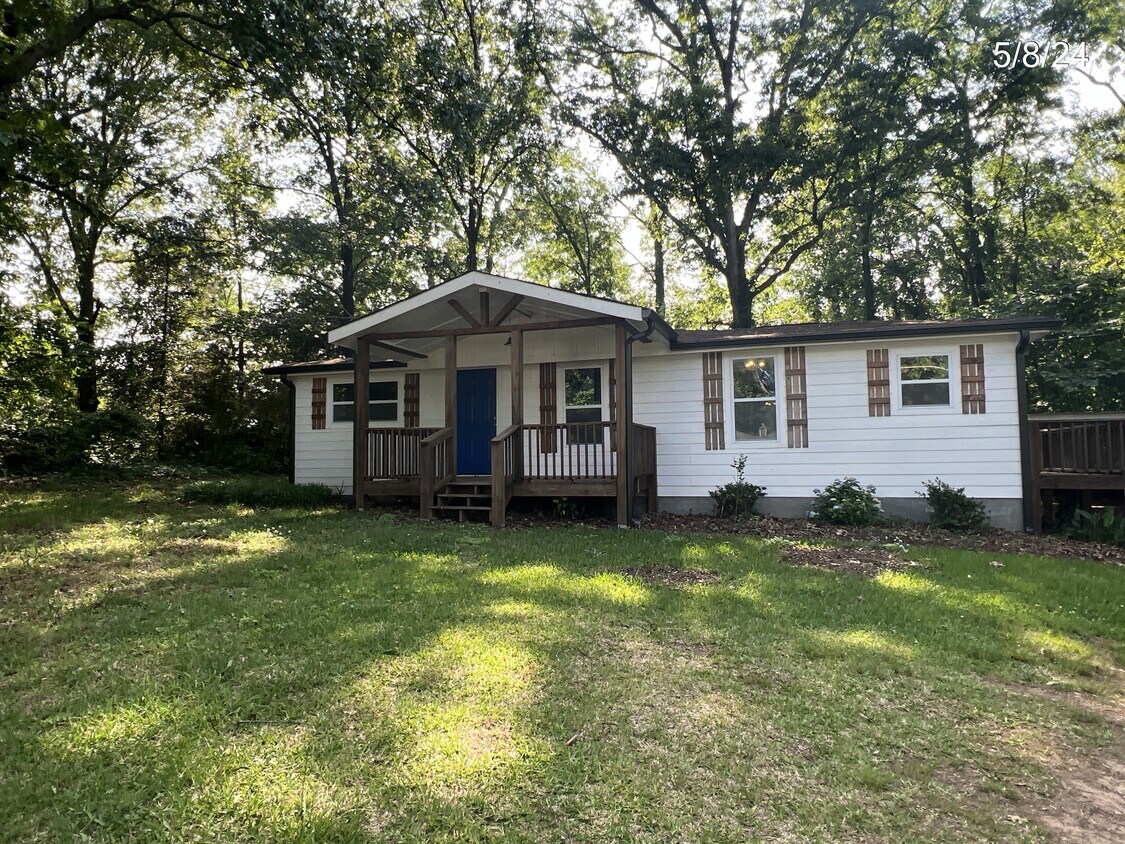
320 Pleasant Hill Church Rd NE

320 Pleasant Hill Church Rd NE

,

Winder, GA 30680

Share Listing
Favorites
320 Pleasant Hill Church Rd NE
Share Listing
Favorites

Check Back Soon for Upcoming Availability

Beds Baths Average SF
3 Bedrooms 3 Bedrooms 3 Br 1 Bath 1 Bath 1 Ba 900 SF
Location
320 Pleasant Hill Church Rd NE, Winder,
GA 30680
Get Directions
| Edit

Under 30 minutes

Commute Time is calculated at rush hour.
City - Winder

Winder holds a quiet distinction in Georgia history: it was here, on March 28, 1933, that the very first National Doctors' Day was observed, a tradition now celebrated across the country. The Barrow County seat sits about 50 miles east of Atlanta and 25 miles west of Athens, giving it a genuine small-town character without cutting residents off from major metro areas. The historic downtown core is anchored by locally owned shops and cafes operating out of well-preserved older buildings, and Fort Yargo State Park borders the city's south side, offering trails and a lake just minutes from home.

The rental market in Winder reflects its size and pace. Options range from cozy single-family rentals and townhomes to more traditional apartment communities with straightforward layouts and practical amenities. New construction has brought some newer communities to the area, offering residents a contrast to the older housing stock found closer to downtown.

Learn more about living in Winder 
Education
Colleges & Universities Distance
Drive: 28 min 18.6 mi
Drive: 29 min 20.9 mi
Drive: 32 min 21.8 mi
Drive: 36 min 23.8 mi
320 Pleasant Hill Church Rd NE is within 28 minutes or 18.6 miles from Piedmont College, Athens. It is also near University of Georgia and Athens Technical College.
Transportation
Commuter Rail Distance
Drive: 41 min 30.1 mi

Walkability Near 320 Pleasant Hill Church Rd NE Winder, GA 30680

Getting Around
Not Walkable
Walkability
10 / 100
Exceptionally Drivable
Drivability
100 / 100
Somewhat Bikeable
Bikeability
20 / 100

Scores provided by

What do Walkability, Transit, Drivability, and Bikeability mean? Walkability measures the walking distance to day-to-day needs. Transit measures access to public transportation. Drivability measures congestion, parking availability, and access to major roads. Bikeability measures the suitability for cycling. How It Works
-
Soundscore
- / 100

Traffic

-

Airport

-

Businesses

-

Scores provided by

HowLoud What is a Sound Score Rating? A Sound Score Rating aggregates noise caused by vehicle traffic, airplane traffic and local sources. How It Works
Points of Interest

Time and distance from 320 Pleasant Hill Church Rd NE.

Shopping Centers Distance
Drive: 8 min 5.0 mi
Drive: 8 min 5.3 mi
Drive: 11 min 6.2 mi
320 Pleasant Hill Church Rd NE has 3 shopping centers within 6.2 miles, which is about a 11-minute drive. The miles and minutes will be for the farthest away property.
Parks and Recreation Distance
Fort Yargo State Park
Drive: 14 min 8.3 mi
320 Pleasant Hill Church Rd NE has a nearby park, Fort Yargo State Park , located 8.3 miles or 14 minutes away.
Hospitals Distance
Hospitals Distance
Drive: 6 min 4.5 mi
320 Pleasant Hill Church Rd NE is 4.5 miles and a 6 minute drive from Barrow Regional Medical Center.
Military Bases Distance
Drive: 80 min 60.2 mi
Drive: 83 min 60.9 mi
Drive: 85 min 66.0 mi
320 Pleasant Hill Church Rd NE has 3 military bases within 66.0 miles, the nearest is Fort McPherson which is 60.2 miles away and a 80 minute drive.

You May Also Like

Similar Rentals Nearby