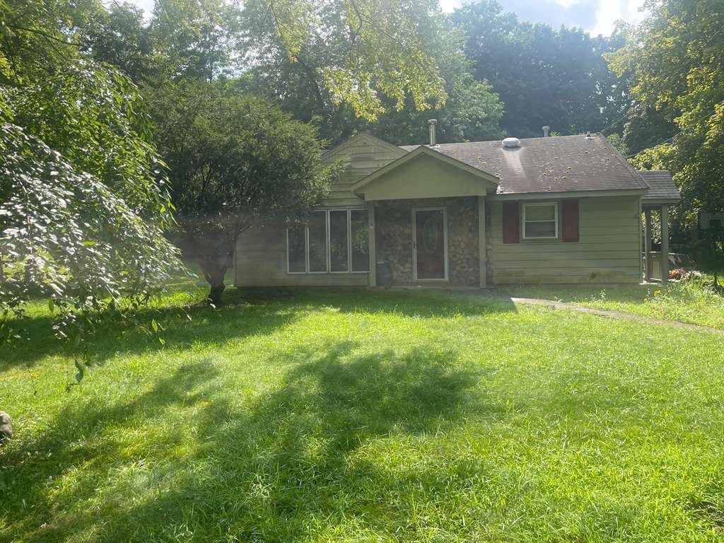
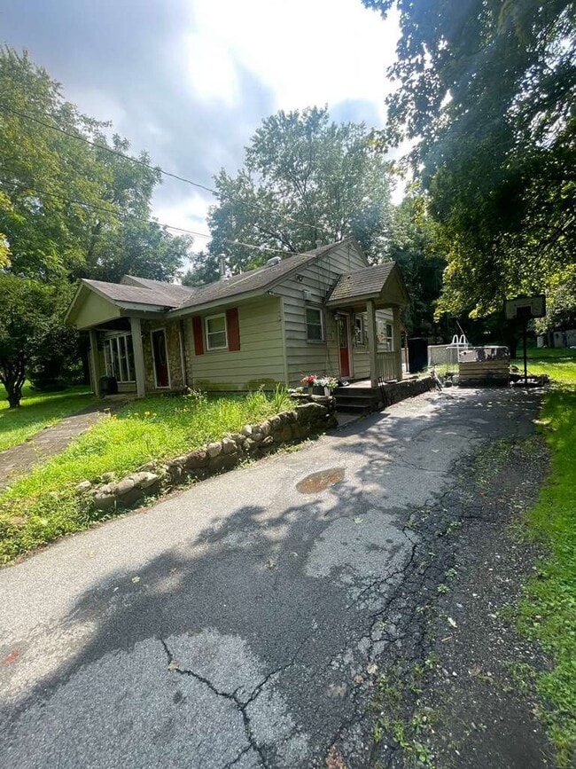
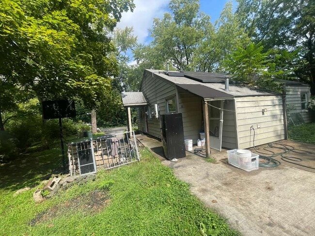
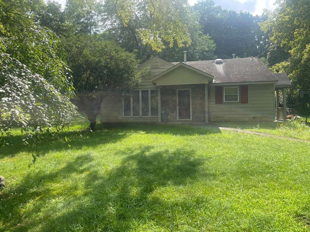
320 High St
Monroe, NY 10950
-
Bedrooms
3
-
Bathrooms
1
-
Square Feet
920 sq ft
-
Available
Available Now
Highlights
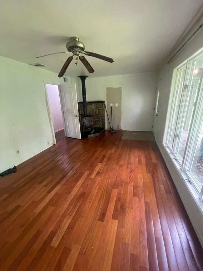
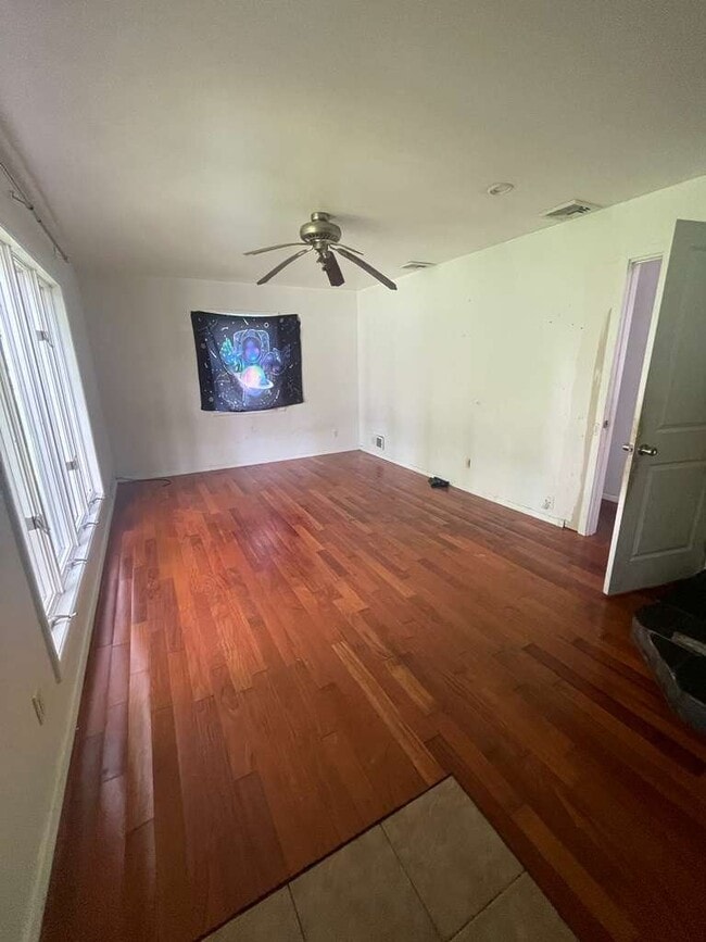
- Hardwood Floors
- Fireplace

About This Home
Property Id: 2839553 Welcome to this inviting 3-bedroom, 1-bathroom rental in the heart of Monroe! This comfortable home offers a practical layout with plenty of space for everyday living. Conveniently located near local shopping, dining, schools, parks, and major roads, making commuting and errands a breeze. A great opportunity for anyone looking for a comfortable 3-bedroom home in a convenient Monroe location. Schedule your showing today!
320 High St is a house located in Orange County and the 10950 ZIP Code.
House Features
Dishwasher
Hardwood Floors
Microwave
Refrigerator
- Fireplace
- Dishwasher
- Microwave
- Oven
- Refrigerator
- Freezer
- Hardwood Floors
- Tile Floors
- Lawn
Fees and Policies
The fees listed below are community-provided and may exclude utilities or add-ons. All payments are made directly to the property and are non-refundable unless otherwise specified. Use the Cost Calculator to determine costs based on your needs.
- One-Time Move-In Fees
-
Security Deposit Refundable - Refundable$2,800
- Cats Allowed
-
Fees not specified
-
Weight limit--
-
Pet Limit--
Details
Utilities Included
-
Water
-
Sewer
Contact
- Phone Number
- Contact
-
Source

Monroe is a town in Orange County, New York, named after President James Monroe and set about 55 miles north of New York City in one of the Hudson Valley's most scenic corners. Sitting at the edge of Harriman State Park, with Sterling Forest and Goosepond Mountain nearby, the town balances natural surroundings with the convenience of a well-established community. Several neighborhoods border small lakes and ponds, giving Monroe a distinctly relaxed, outdoors-oriented atmosphere that sets it apart from most commuter towns its size.
The small downtown district centered around Crane Park anchors daily life, with locally owned businesses, civic gathering spots, and the Town of Monroe Civic and Arts Center drawing residents throughout the week. West Point, one of the nation's most storied military institutions, is just over 16 miles away, adding a notable regional presence. Commuter rail access through nearby Harriman connects residents to New York City without the demands of a long drive.
Learn more about living in Monroe- Fireplace
- Dishwasher
- Microwave
- Oven
- Refrigerator
- Freezer
- Hardwood Floors
- Tile Floors
- Lawn
| Colleges & Universities | Distance | ||
|---|---|---|---|
| Colleges & Universities | Distance | ||
| Drive: | 30 min | 17.5 mi | |
| Drive: | 31 min | 23.6 mi | |
| Drive: | 34 min | 25.0 mi | |
| Drive: | 36 min | 25.7 mi |
Scores provided by
 What do Walkability, Transit, Drivability, and Bikeability mean?
Walkability measures the walking distance to day-to-day needs.
Transit measures access to public transportation.
Drivability measures congestion, parking availability, and access to major roads.
Bikeability measures the suitability for cycling.
How It Works
What do Walkability, Transit, Drivability, and Bikeability mean?
Walkability measures the walking distance to day-to-day needs.
Transit measures access to public transportation.
Drivability measures congestion, parking availability, and access to major roads.
Bikeability measures the suitability for cycling.
How It Works
Traffic
-Airport
-Businesses
-Scores provided by
HowLoud What is a Sound Score Rating? A Sound Score Rating aggregates noise caused by vehicle traffic, airplane traffic and local sources. How It WorksYou May Also Like
320 High St
Monroe, NY 10950