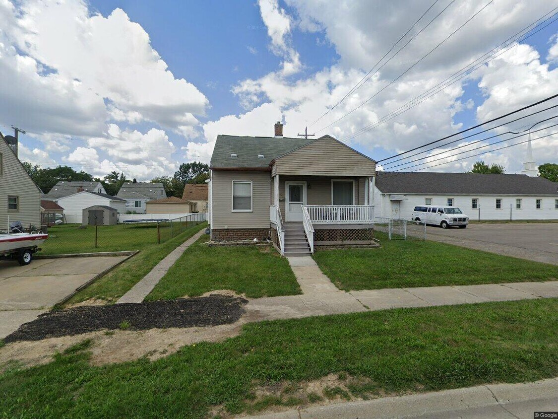
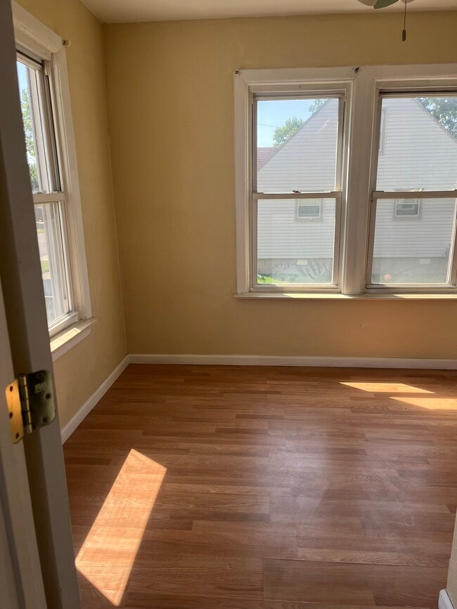
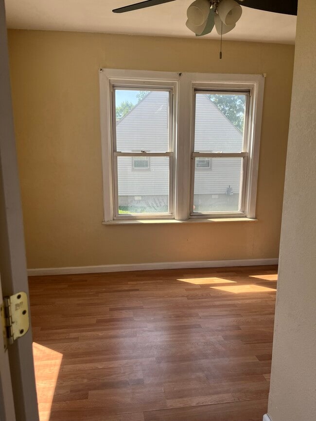
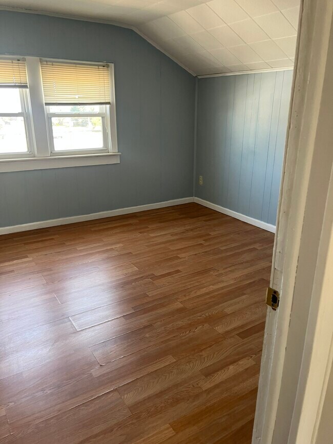
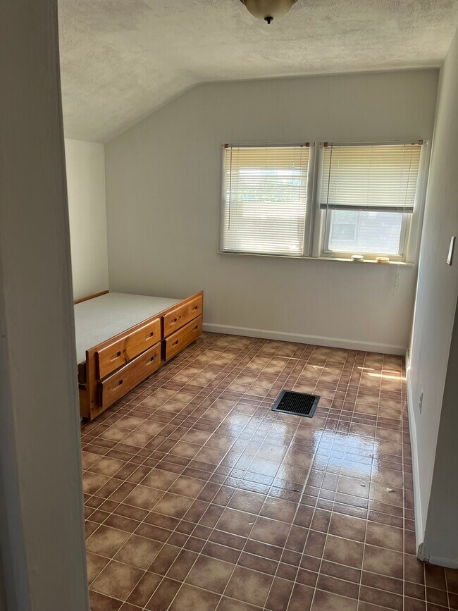
32 Roehrig St
Trenton, MI 48183
-
Bedrooms
5
-
Bathrooms
2
-
Square Feet
1,956 sq ft
-
Available
Available Now

Contact
- Contact
Located south of Detroit, Downriver refers to a vast collection of cities and townships nestled alongside the western banks of the Detroit River. Among the 18 communities considered to be part of Downriver are Taylor, Romulus, Allen Park, Southgate, and Trenton.
Northern Downriver communities tend to be more suburban whereas the southern Downriver communities are more rural. Residents throughout the region enjoy the area’s ample opportunities for outdoor recreation along the river, including activities like fishing, boating, and birdwatching, in addition to hiking the extensive network of trails in the area. Downriver is especially popular among commuters for its proximity to Downtown Detroit and multiple major highways.
Learn more about living in Downriver| Colleges & Universities | Distance | ||
|---|---|---|---|
| Colleges & Universities | Distance | ||
| Drive: | 14 min | 6.6 mi | |
| Drive: | 20 min | 9.9 mi | |
| Drive: | 27 min | 14.9 mi |
Scores provided by
 What do Walkability, Transit, Drivability, and Bikeability mean?
Walkability measures the walking distance to day-to-day needs.
Transit measures access to public transportation.
Drivability measures congestion, parking availability, and access to major roads.
Bikeability measures the suitability for cycling.
How It Works
What do Walkability, Transit, Drivability, and Bikeability mean?
Walkability measures the walking distance to day-to-day needs.
Transit measures access to public transportation.
Drivability measures congestion, parking availability, and access to major roads.
Bikeability measures the suitability for cycling.
How It Works
Traffic
-Airport
-Businesses
-Scores provided by
HowLoud What is a Sound Score Rating? A Sound Score Rating aggregates noise caused by vehicle traffic, airplane traffic and local sources. How It Works32 Roehrig St Photos
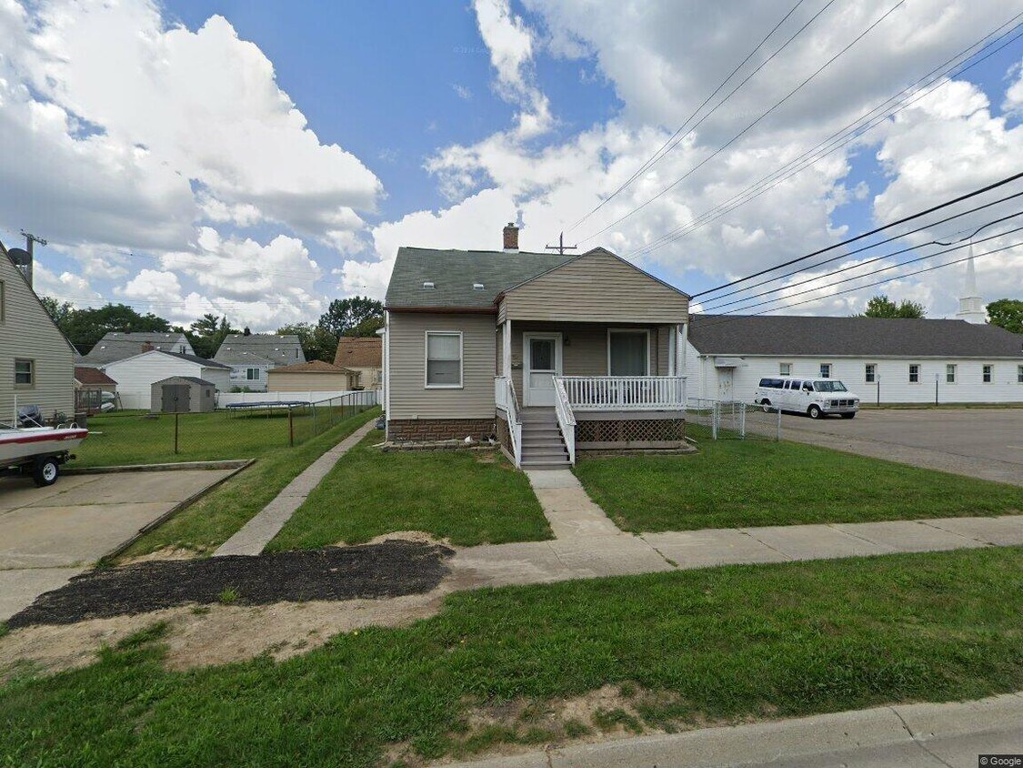
32 Roehrig St
Trenton, MI 48183