


$2,500
/ Month
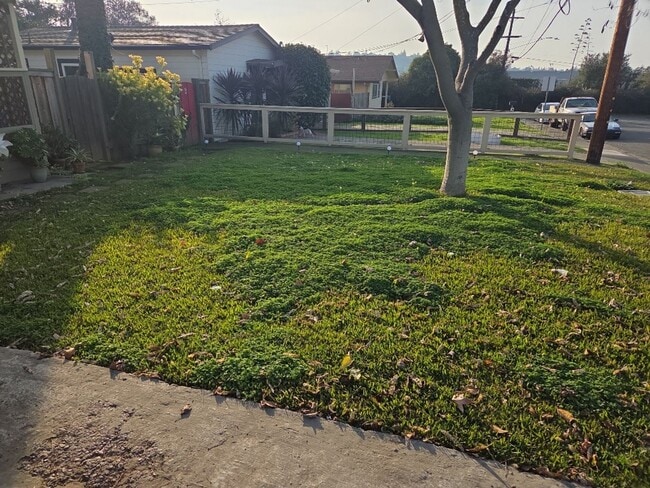
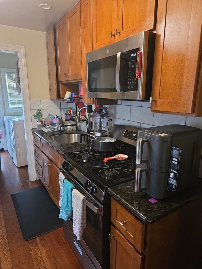
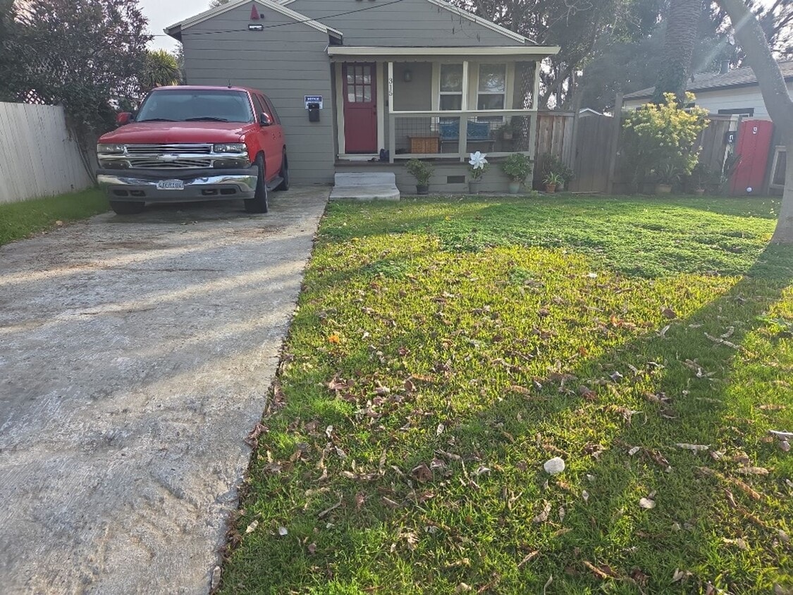
315 Nevada St Unit 315 Nevada Street
Vallejo, CA 94590
Favorites
707-322-0943
-
Bedrooms
2
-
Bathrooms
1
-
Square Feet
--
-
Available
Available Jul 25
315 Nevada St Unit 315 Nevada Street

Favorites
Contact
- Listed by STEVER
- Phone Number
- Contact
Location
Get Directions
As the largest city in Solano County and the 10th-largest city in the San Francisco Bay Area, West Vallejo has become a hot destination for families, singles, and artistic individuals looking for beautiful historic Victorian homes and a growing community that is much more affordable compared to others in the Bay Area.
There’s plenty to do in West Vallejo, from outdoor activities to nightlife, restaurants, and coffee shops. With easy access to San Francisco by ferry or an hour drive by car away, this mostly suburban community rests far enough from the urban environment to be a mellow break from the hustle and bustle, but close enough that indulging in all of San Francisco’s sights — from the Golden Gate Bridge to the Coit Tower — are never too far away to enjoy.
Learn more about living in West Vallejo
Education
| Colleges & Universities | Distance | ||
|---|---|---|---|
| Colleges & Universities | Distance | ||
| Drive: | 10 min | 4.7 mi | |
| Drive: | 17 min | 11.6 mi | |
| Drive: | 18 min | 12.0 mi | |
| Drive: | 21 min | 14.4 mi |
315 Nevada St Unit 315 Nevada Street is within 10 minutes or 4.7 miles from Touro University California. It is also near Napa Valley College and Solano Community College.
Getting Around
 What do Walkability, Transit, Drivability, and Bikeability mean?
Walkability measures the walking distance to day-to-day needs.
Transit measures access to public transportation.
Drivability measures congestion, parking availability, and access to major roads.
Bikeability measures the suitability for cycling.
How It Works
What do Walkability, Transit, Drivability, and Bikeability mean?
Walkability measures the walking distance to day-to-day needs.
Transit measures access to public transportation.
Drivability measures congestion, parking availability, and access to major roads.
Bikeability measures the suitability for cycling.
How It Works
Fairly Walkable
Walkability
50
/ 100
Limited Public Transit
Transit
30
/ 100
Exceptionally Drivable
Drivability
90
/ 100
Fairly Bikeable
Bikeability
40
/ 100
Scores provided by
-
Soundscore™
-
/ 100
Traffic
-Airport
-Businesses
-Scores provided by
HowLoud What is a Sound Score Rating? A Sound Score Rating aggregates noise caused by vehicle traffic, airplane traffic and local sources. How It WorksYou May Also Like
Similar Rentals Nearby
-
-
-
-
-
-
-
-
-
-
3 Beds$6,880Total Monthly Price12 Month LeaseTotal Monthly Price NewPrices include base rent and required monthly fees. Variable costs based on usage may apply.Specials
Pets Allowed Fitness Center In Unit Washer & Dryer Stainless Steel Appliances Business Center Package Service Elevator


What Are Walk Score®, Transit Score®, and Bike Score® Ratings?
Walk Score® measures the walkability of any address. Transit Score® measures access to public transit. Bike Score® measures the bikeability of any address.
What is a Sound Score Rating?
A Sound Score Rating aggregates noise caused by vehicle traffic, airplane traffic and local sources.
315 Nevada St
Vallejo, CA 94590