2 Beds
$1,100
Total Monthly Price
12 Month Lease
Total Monthly Price
New
Prices include all required monthly fees.
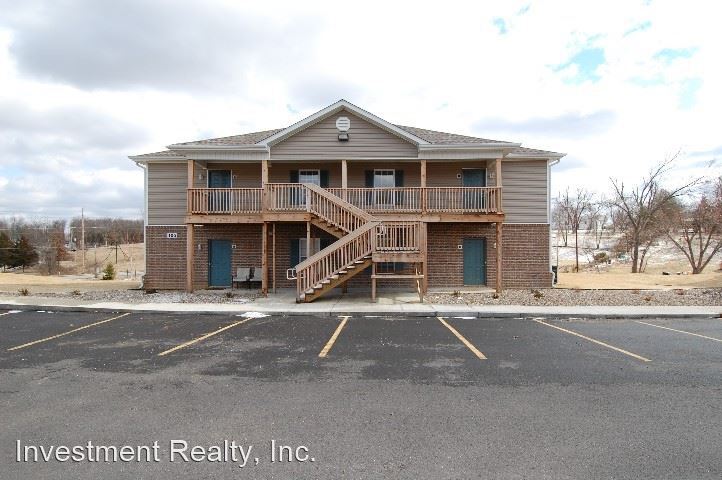
1206 Bardsley Rd