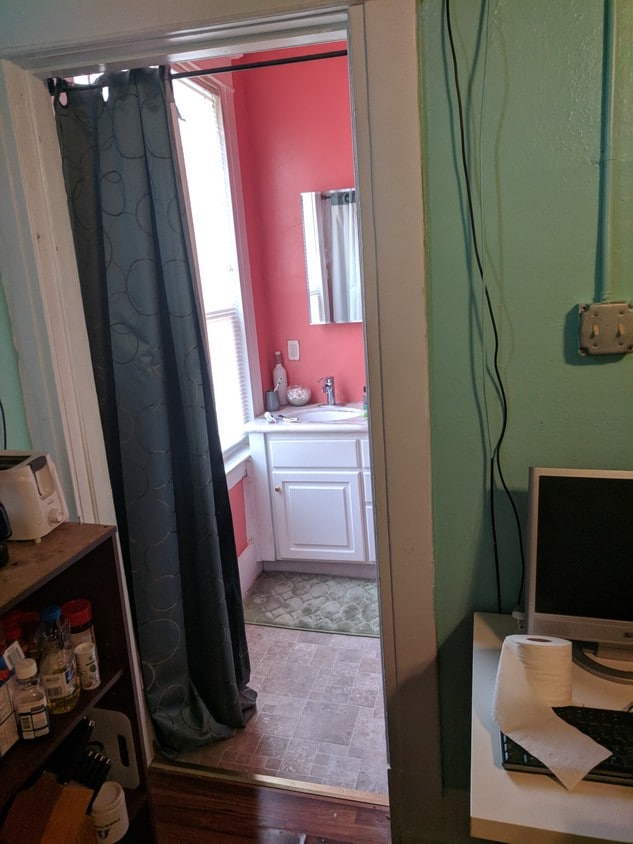
302 Lincoln St
302 Lincoln St,
Roseville,
CA
95678
2 Weeks Ago
Favorites
302 Lincoln St

Favorites
Check Back Soon for Upcoming Availability
Fees and Policies
The fees below are based on community-supplied data and may exclude additional fees and utilities.
- Parking
-
Surface Lot--
Details
Lease Options
-
12 Month
302 Lincoln St is an apartment community located in Placer County and the 95678 ZIP Code.
Apartment Features
- Smoke Free
- Laundry Facilities
Location
Get Directions
Roseville Heights is the ideal neighborhood -- a leisurely walk from Downtown Roseville, filled with apartments and houses for rent, and minutes from the Alan S. Hart Freeway. Head three miles north to one of the area's favorite malls, Westfield Galleria, or directly west of the neighborhood to peruse Denio's Farmers Market & Swap Meet.
Visit two-acre Weber Park for a stroll before sunset or a game of pick-up basketball. If you appreciate both great food, old-time train depots, and model trains, go to the Pacific Street Cafe for all three. Irish fare reigns on the menu at the nearby Boxing Donkey Irish Pub & Restaurant, and the Union Roseville charms patrons with its great food, brick walls, video arcade, and artisan beers. Enjoy the tri-tip tacos and other deli delights at Roundhouse Deli.
Learn more about living in Roseville HeightsBelow are rent ranges for similar nearby apartments
Amenities
- Smoke Free
- Laundry Facilities
Education
| Colleges & Universities | Distance | ||
|---|---|---|---|
| Colleges & Universities | Distance | ||
| Drive: | 12 min | 5.8 mi | |
| Drive: | 19 min | 10.0 mi | |
| Drive: | 30 min | 15.5 mi | |
| Drive: | 29 min | 18.3 mi |
302 Lincoln St is within 12 minutes or 5.8 miles from Sierra College, Rocklin Campus. It is also near American River College and Folsom Lake College, Folsom.
Transportation options available in Roseville include Watt/I-80, located 10.7 miles from 302 Lincoln St. 302 Lincoln St is near Sacramento International, located 25.8 miles or 36 minutes away.
| Transit / Subway | Distance | ||
|---|---|---|---|
| Transit / Subway | Distance | ||
|
|
Drive: | 16 min | 10.7 mi |
|
|
Drive: | 22 min | 11.5 mi |
|
|
Drive: | 23 min | 12.3 mi |
| Drive: | 18 min | 12.5 mi | |
|
|
Drive: | 25 min | 14.0 mi |
| Commuter Rail | Distance | ||
|---|---|---|---|
| Commuter Rail | Distance | ||
|
|
Walk: | 6 min | 0.3 mi |
|
|
Drive: | 10 min | 4.7 mi |
| Drive: | 23 min | 17.2 mi | |
|
|
Drive: | 24 min | 17.2 mi |
|
|
Drive: | 42 min | 32.8 mi |
| Airports | Distance | ||
|---|---|---|---|
| Airports | Distance | ||
|
Sacramento International
|
Drive: | 36 min | 25.8 mi |
Time and distance from 302 Lincoln St.
| Shopping Centers | Distance | ||
|---|---|---|---|
| Shopping Centers | Distance | ||
| Walk: | 10 min | 0.6 mi | |
| Walk: | 20 min | 1.1 mi | |
| Drive: | 3 min | 1.2 mi |
302 Lincoln St has 3 shopping centers within 1.2 miles, which is about a 3-minute walk. The miles and minutes will be for the farthest away property.
| Parks and Recreation | Distance | ||
|---|---|---|---|
| Parks and Recreation | Distance | ||
|
Mahany Park
|
Drive: | 8 min | 3.9 mi |
|
Sierra College Natural History Museum
|
Drive: | 11 min | 5.8 mi |
|
Mahan Park
|
Drive: | 11 min | 6.1 mi |
|
Luken Park
|
Drive: | 11 min | 6.2 mi |
|
Roccucci Park
|
Drive: | 14 min | 7.3 mi |
302 Lincoln St has 5 parks within 7.3 miles, including Mahany Park, Luken Park, and Mahan Park.
| Hospitals | Distance | ||
|---|---|---|---|
| Hospitals | Distance | ||
| Drive: | 6 min | 2.9 mi | |
| Drive: | 7 min | 3.0 mi | |
| Drive: | 15 min | 8.1 mi |
302 Lincoln St has 3 hospitals within 8.1 miles, the nearest is Kaiser Foundation Hospital - Roseville which is 2.9 miles away and a 6 minute drive.
| Military Bases | Distance | ||
|---|---|---|---|
| Military Bases | Distance | ||
| Drive: | 26 min | 11.3 mi |
302 Lincoln St is 11.3 miles and a 26 minute drive from McClellan Air Force Base.
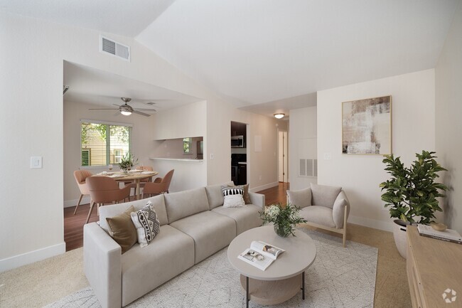
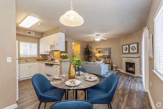
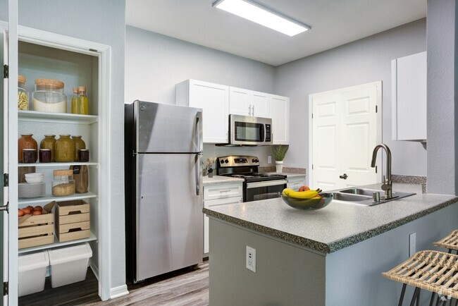
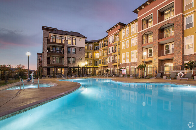
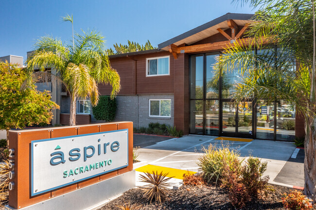
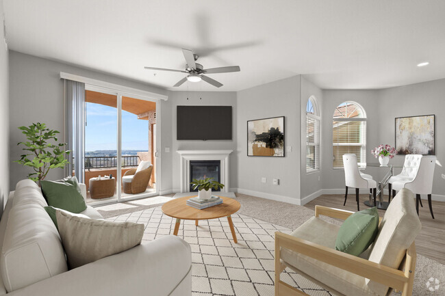
You May Also Like
Similar Rentals Nearby


What Are Walk Score®, Transit Score®, and Bike Score® Ratings?
Walk Score® measures the walkability of any address. Transit Score® measures access to public transit. Bike Score® measures the bikeability of any address.
What is a Sound Score Rating?
A Sound Score Rating aggregates noise caused by vehicle traffic, airplane traffic and local sources