
$25,000 / Month

300 Sunkist Ln

,

Los Altos, CA 94022

Share Listing
Favorites
  • Bedrooms

    5

  • Bathrooms

    4

  • Square Feet

    4,560 sq ft

  • Available

    Available May 26

Highlight

  • Fireplace
300 Sunkist Ln
Share Listing
Favorites

About This Home

Available May 26

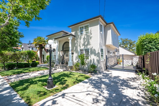
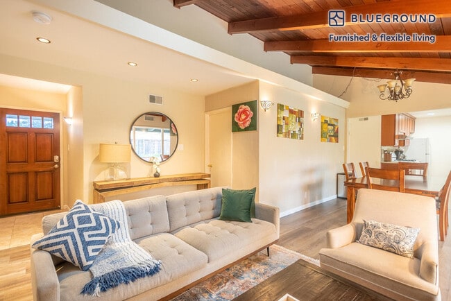
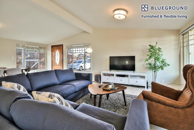
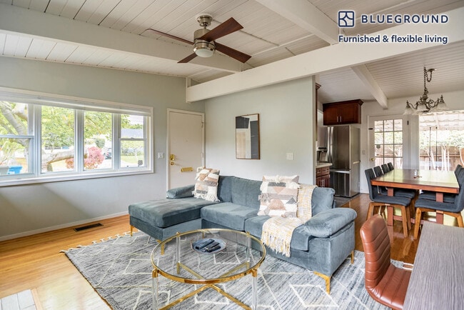
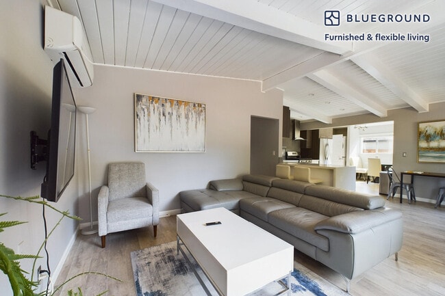
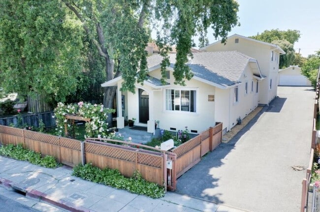
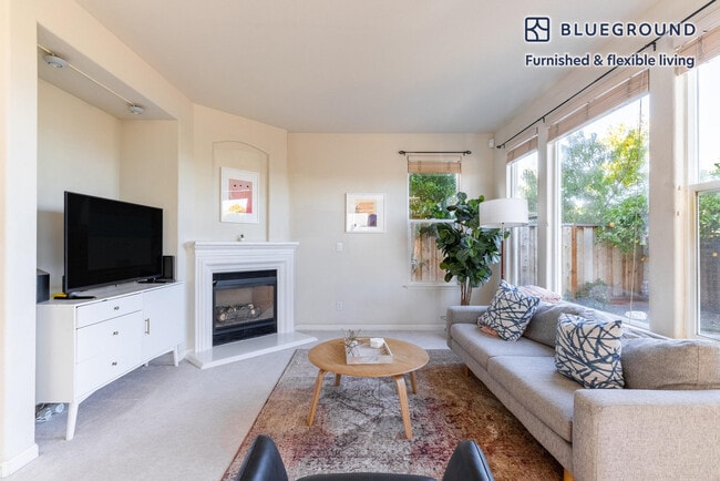
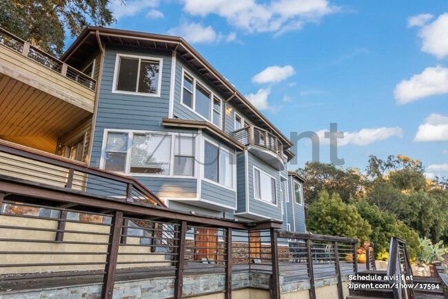
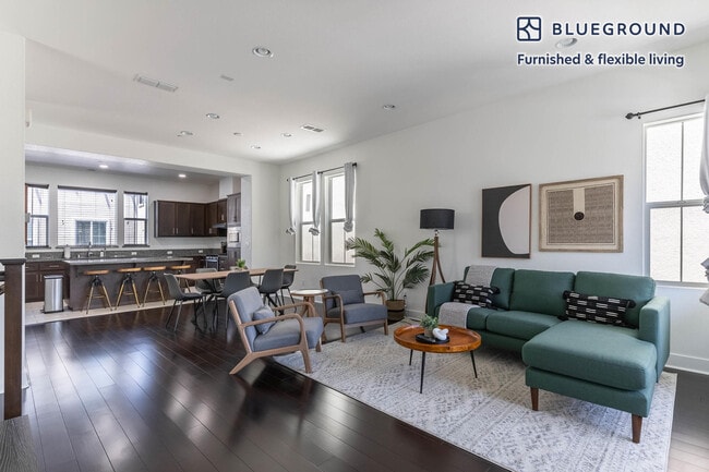
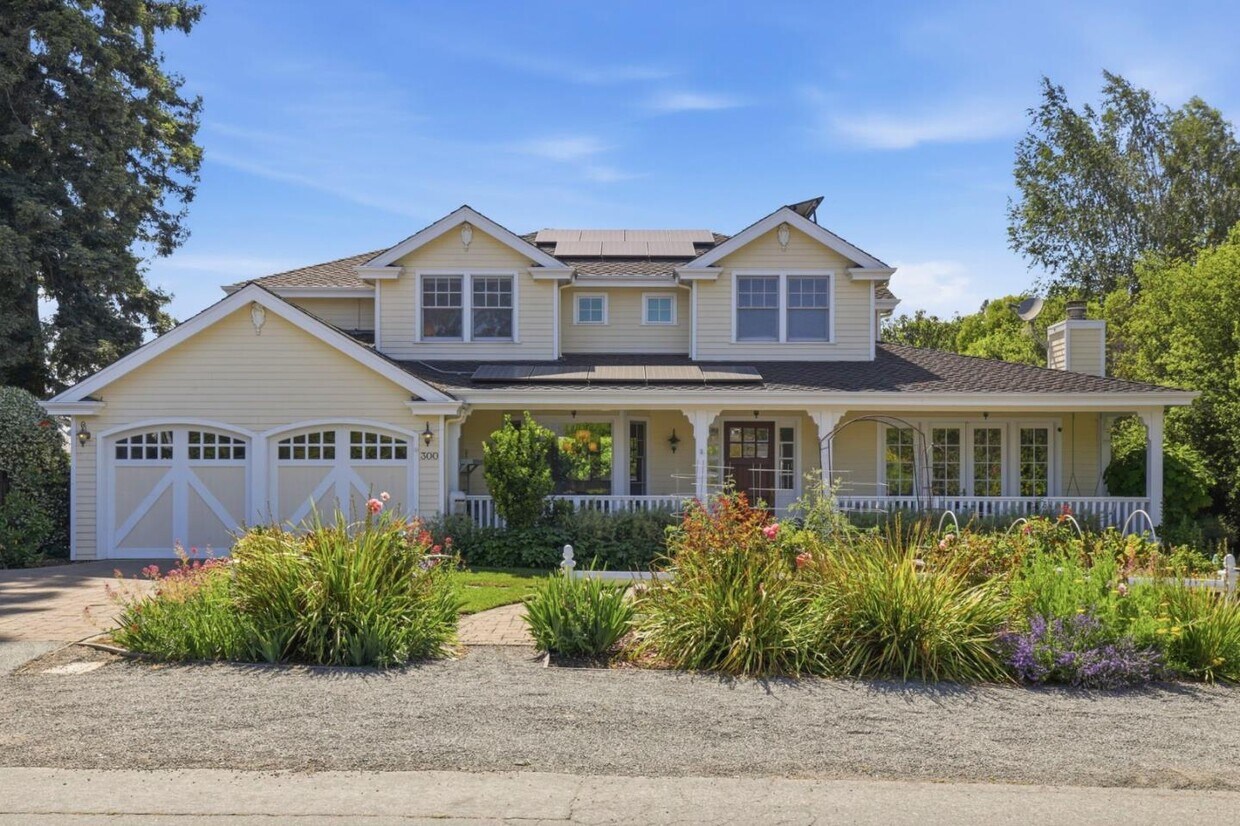
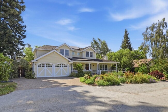
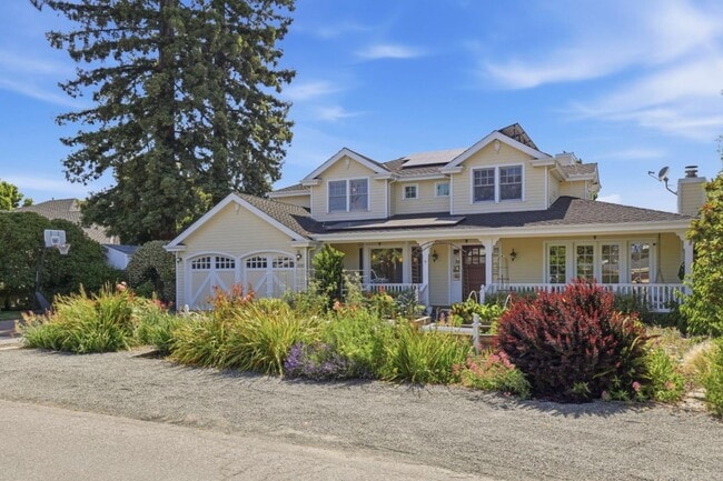
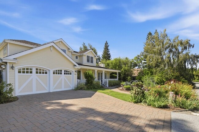
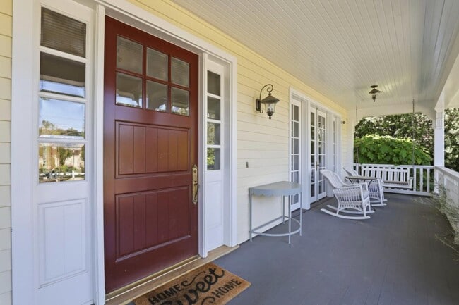
Experience Los Altos living in this stunning two-story home, perfectly positioned in one of North Los Altos' most coveted neighborhoods. Built in 2002, this meticulously maintained residence blends classic elegance with modern functionality, creating the perfect rental opportunity for discerning tenants. Offering 4,560 square feet of living space, 5 generous bedrooms, 4 bathrooms, a first-floor executive office, and lower-level recreation room, this will not last long. Main bedroom is the ultimate in luxury with soaring ceilings and a fireplace that gently leads into the oversized main bathroom, featuring a separate shower, soaking tub, dual vanities, and ample closet space. Enjoy the 13,519 square foot lot with plenty of room to play, host, or relax. Top-rated Los Altos schools, easy commute roots, and access to downtown Los Altos. Option to include furniture. Minimum 12-month lease. Prefer no pets. MLS # ML82048426

300 Sunkist Ln is a house located in Santa Clara County and the 94022 ZIP Code.

* Price shown is base rent. Excludes user-selected optional fees and variable or usage-based fees and required charges due at or prior to move-in or at move-out. Price, availability, fees, and any applicable rent special are subject to change without notice.
* Square footage definitions vary. Displayed square footage is approximate.

House Features

  • Fireplace

Contact

  • Listed by Neen Martelino | Golden Gate Sotheby's International Realty
  • Contact
  • Source
    MLSListings Inc.
Copyright © 2026 MLSListings Inc.
| Edit

Under 30 minutes

Commute Time is calculated at rush hour.
Neighborhood

North Los Altos contains the city’s vibrant commercial centers. The many shops and eateries of Main Street are in the southern portion of North Los Altos, while the diverse restaurants and cafes of San Antonio Road are in the northern stretches near San Antonio Center.

Outside of these commercial areas, North Los Altos is predominantly residential, offering an array of apartments available for rent along tree-lined avenues. Many of the rentals in North Los Altos feature stunning mountain views, as well as close proximity to Mountain View, Foothill College, Stanford University, and Palo Alto. Getting around from North Los Altos is simple with access to El Camino Real, Interstate 280, and San Antonio Station.

Learn more about living in North Los Altos 
Amenities
  • Fireplace
Education
Colleges & Universities Distance
Drive: 7 min 3.0 mi
Drive: 8 min 3.3 mi
Drive: 13 min 6.0 mi
Drive: 14 min 7.3 mi
300 Sunkist Ln is within 7 minutes or 3.0 miles from Foothill Coll., Los Altos. It is also near Foothill College, Middlefield and Stanford University.
Transportation

Transportation options available in Los Altos include Mountain View Station, located 2.4 miles from 300 Sunkist Ln. 300 Sunkist Ln is near Norman Y Mineta San Jose International, located 11.7 miles or 20 minutes away, and San Francisco International, located 26.0 miles or 36 minutes away.

Transit / Subway Distance
Drive: 7 min 2.4 mi
Drive: 9 min 3.9 mi
Drive: 9 min 4.1 mi
Drive: 11 min 5.0 mi
Drive: 12 min 5.9 mi
Commuter Rail Distance
Drive: 7 min 2.4 mi
Drive: 6 min 2.5 mi
Drive: 11 min 4.5 mi
Drive: 12 min 5.0 mi
Drive: 14 min 6.1 mi
Airports Distance
Airports Distance
Norman Y Mineta San Jose International
Drive: 20 min 11.7 mi
San Francisco International
Drive: 36 min 26.0 mi
Getting Around
Fairly Walkable
Walkability
50 / 100
Limited Public Transit
Transit
20 / 100
Moderately Drivable
Drivability
70 / 100
Fairly Bikeable
Bikeability
40 / 100

Scores provided by

What do Walkability, Transit, Drivability, and Bikeability mean? Walkability measures the walking distance to day-to-day needs. Transit measures access to public transportation. Drivability measures congestion, parking availability, and access to major roads. Bikeability measures the suitability for cycling. How It Works
-
Soundscore
- / 100

Traffic

-

Airport

-

Businesses

-

Scores provided by

HowLoud What is a Sound Score Rating? A Sound Score Rating aggregates noise caused by vehicle traffic, airplane traffic and local sources. How It Works
Points of Interest

Time and distance from 300 Sunkist Ln.

Shopping Centers Distance
Walk: 19 min 1.0 mi
Walk: 19 min 1.0 mi
Drive: 4 min 2.0 mi
300 Sunkist Ln has 3 shopping centers within 2.0 miles, which is about a 4-minute drive. The miles and minutes will be for the farthest away property.
Parks and Recreation Distance
Redwood Grove
Drive: 5 min 1.9 mi
Foothill College Observatory
Drive: 8 min 3.2 mi
Terman Park
Drive: 7 min 3.3 mi
Esther Clark Nature Preserve
Drive: 7 min 3.3 mi
J. Pearce Mitchell Park
Drive: 10 min 3.9 mi
300 Sunkist Ln has 5 parks within 3.9 miles, including Redwood Grove, Terman Park, and Esther Clark Nature Preserve.
Hospitals Distance
Hospitals Distance
Drive: 7 min 2.8 mi
Drive: 15 min 6.4 mi
Drive: 15 min 6.9 mi
300 Sunkist Ln has 3 hospitals within 6.9 miles, the nearest is El Camino Hospital which is 2.8 miles away and a 7 minute drive.
Military Bases Distance
Drive: 13 min 4.7 mi
Drive: 61 min 42.1 mi
Drive: 62 min 42.3 mi
300 Sunkist Ln has 3 military bases within 42.3 miles, the nearest is Ames Research Center which is 4.7 miles away and a 13 minute drive.

You May Also Like

Similar Rentals Nearby