$1,200
/ Month
30 High St
Goffstown, NH 03045
Favorites
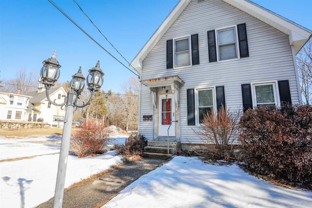
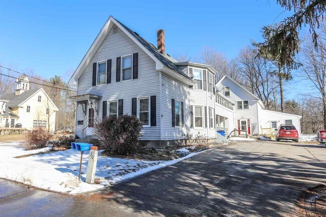
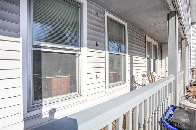
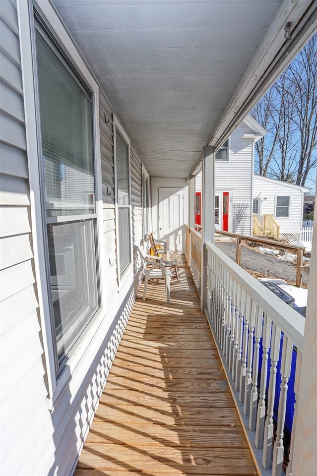
30 High St

Favorites
Check Back Soon for Upcoming Availability
| Beds | Baths | Average SF |
|---|---|---|
| 2 Bedrooms 2 Bedrooms 2 Br | 1 Bath 1 Bath 1 Ba | 1,100 SF |
About This Property
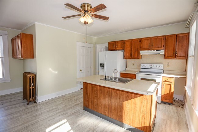
Perfect opportunity to stay in Goffstown NH! This $1,200/month rental is a short walk to all Goffstown's Historical Village District has to offer! Off street parking for 2 vehicles. Eat-In Kitchen, full bath, and designated laundry room with Washer/Dryer Hookups. Bright and charming, first-floor apartment. Sorry no pets, no smoking, 2 person max occupancy.
30 High St is an apartment community located in Hillsborough County and the 03045 ZIP Code.
Features
- Basement
30 High St,
Goffstown,
NH
03045
Amenities
- Basement
Education
| Colleges & Universities | Distance | ||
|---|---|---|---|
| Colleges & Universities | Distance | ||
| Drive: | 14 min | 6.8 mi | |
| Drive: | 18 min | 8.3 mi | |
| Drive: | 26 min | 11.4 mi | |
| Drive: | 31 min | 18.0 mi |
30 High St is within 14 minutes or 6.8 miles from Saint Anselm College. It is also near MCPHS University, Manchester and Southern New Hampshire Univ..
Walkability Near 30 High St Goffstown, NH 03045
Getting Around
 What do Walkability, Transit, Drivability, and Bikeability mean?
Walkability measures the walking distance to day-to-day needs.
Transit measures access to public transportation.
Drivability measures congestion, parking availability, and access to major roads.
Bikeability measures the suitability for cycling.
How It Works
What do Walkability, Transit, Drivability, and Bikeability mean?
Walkability measures the walking distance to day-to-day needs.
Transit measures access to public transportation.
Drivability measures congestion, parking availability, and access to major roads.
Bikeability measures the suitability for cycling.
How It Works
Somewhat Walkable
Walkability
30
/ 100
Exceptionally Drivable
Drivability
100
/ 100
Not Bikeable
Bikeability
10
/ 100
Scores provided by
-
Soundscore™
-
/ 100
Traffic
-Airport
-Businesses
-Scores provided by
HowLoud What is a Sound Score Rating? A Sound Score Rating aggregates noise caused by vehicle traffic, airplane traffic and local sources. How It WorksYou May Also Like
Similar Rentals Nearby


What Are Walk Score®, Transit Score®, and Bike Score® Ratings?
Walk Score® measures the walkability of any address. Transit Score® measures access to public transit. Bike Score® measures the bikeability of any address.
What is a Sound Score Rating?
A Sound Score Rating aggregates noise caused by vehicle traffic, airplane traffic and local sources.

30 High St
Goffstown, NH 03045