$2,000 / Month
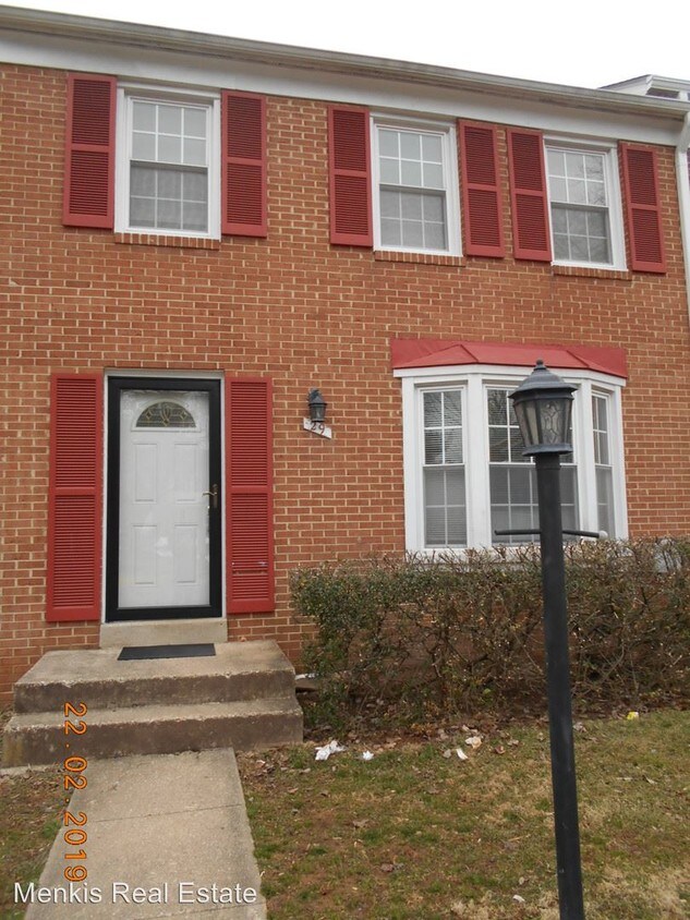
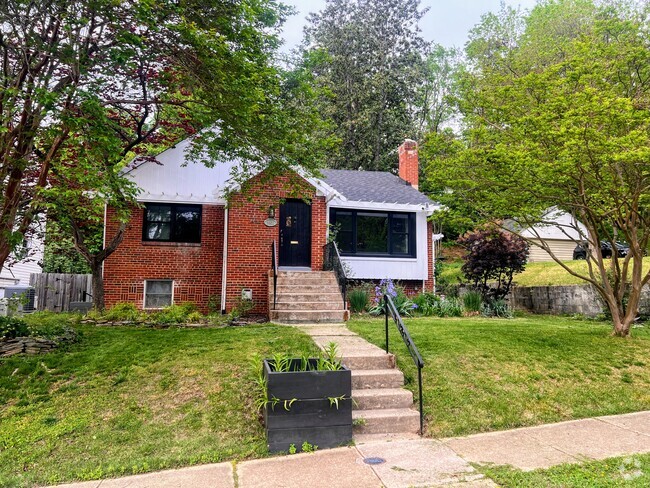
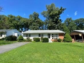
29 Marwood Ct
Rockville, MD 20850
2 Weeks Ago
Favorites
29 Marwood Ct

Favorites
Check Back Soon for Upcoming Availability
| Beds | Baths | Average SF |
|---|---|---|
| 3 Bedrooms 3 Bedrooms 3 Br | 1.5 Baths 1.5 Baths 1.5 Ba | 1,188 SF |
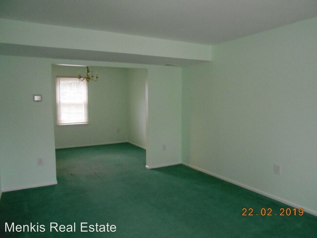
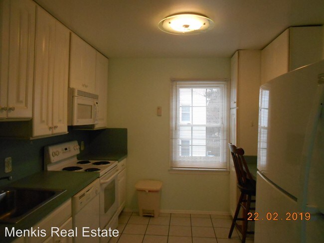
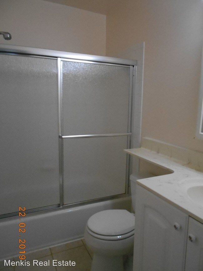
About This Property
(301) 655-3820 - When Value and Location Matters! - Spacious 3 bedroom, 1 full bath, 2 half bath 3 level townhouse located moments to I-270 in the Wooten High School district. Close to shopping, parks, transportation, and more! For more information or to schedule an appointment to view the property, please call Natalie Halem 301-655-3820 This is a Non-Smoking Property NOTE: If you are interested in the property and submit a rental application, there is a non-refundable application fee of $40.00 for each adult applicant/occupant. Main Office: 301-946-4050 (RLNE4763898)
29 Marwood Ct is a house located in Montgomery County and the 20850 ZIP Code. This area is served by the Montgomery County Public Schools attendance zone.
Location
Get Directions
West Rockville is a thriving neighborhood in the city of Rockville just 20 miles from Washington DC. Interstate 270 and Hungerford Drive make traveling to surrounding areas easy. West Rockville is a mostly residential area with a variety of apartment styles in average DC metro price ranges scattered throughout. While homes and green spaces such as Wootton’s Mill Park make up most of the neighborhood, department stores, eateries, grocers, and other businesses can be found situated towards the edges of town along the main roads.
Rockville Town Square, an area full of restaurants and specialty shops, is the hub of entertainment in Rockville and is located right outside West Rockville’s southern border. Outside of its norther border is Adventist Healthcare Shady Grove Medical Center, a large hospital complex. Other amenities in proximity to West Rockville include shopping centers and scenic parks and preservation land.
Learn more about living in West RockvilleBelow are rent ranges for similar nearby apartments
| Beds | Average Size | Lowest | Typical | Premium |
|---|---|---|---|---|
| Studio Studio Studio | 490-492 Sq Ft | $1,651 | $1,848 | $2,340 |
| 1 Bed 1 Bed 1 Bed | 743-750 Sq Ft | $1,575 | $2,105 | $3,575 |
| 2 Beds 2 Beds 2 Beds | 1131-1136 Sq Ft | $2,035 | $2,830 | $4,510 |
| 3 Beds 3 Beds 3 Beds | 1673 Sq Ft | $2,506 | $3,394 | $6,489 |
| 4 Beds 4 Beds 4 Beds | 2510 Sq Ft | $2,757 | $4,037 | $5,200 |
Education
| Colleges & Universities | Distance | ||
|---|---|---|---|
| Colleges & Universities | Distance | ||
| Drive: | 5 min | 2.2 mi | |
| Drive: | 7 min | 2.3 mi | |
| Drive: | 16 min | 10.1 mi | |
| Drive: | 22 min | 13.6 mi |
29 Marwood Ct is within 5 minutes or 2.2 miles from Universities at Shady Grove. It is also near Montgomery College, Rockville and Montgomery College.
Schools


Public Elementary School
Grades K-5
543 Students
Attendance Zone
Public Elementary School
Grades PK-5
497 Students
Nearby
Public Middle School
Grades 6-8
968 Students
Attendance Zone
Public High School
Grades 9-12
1,911 Students
Attendance Zone
Private Elementary & Middle School
Grades PK-8
131 Students
Nearby
Private Middle & High School
Grades 7-12
25 Students
Nearby
School data provided by
 The GreatSchools Rating helps parents compare schools within a state based on a variety of school quality indicators and provides a helpful picture of how effectively each school serves all of its students. Ratings are on a scale of 1 (below average) to 10 (above average) and can include test scores, college readiness, academic progress, advanced courses, equity, discipline and attendance data. We also advise parents to visit schools, consider other information on school performance and programs, and consider family needs as part of the school selection process.
View GreatSchools Rating Methodology
View GreatSchools Rating Methodology
Transportation options available in Rockville include Rockville, Red Line Center Platform, located 2.5 miles from 29 Marwood Ct. 29 Marwood Ct is near Ronald Reagan Washington Ntl, located 21.6 miles or 39 minutes away, and Washington Dulles International, located 27.9 miles or 44 minutes away.
| Transit / Subway | Distance | ||
|---|---|---|---|
| Transit / Subway | Distance | ||
| Drive: | 7 min | 2.5 mi | |
| Drive: | 9 min | 3.6 mi | |
| Drive: | 12 min | 4.5 mi | |
| Drive: | 12 min | 6.1 mi | |
|
|
Drive: | 13 min | 7.4 mi |
| Commuter Rail | Distance | ||
|---|---|---|---|
| Commuter Rail | Distance | ||
|
|
Drive: | 7 min | 2.5 mi |
|
|
Drive: | 10 min | 4.6 mi |
| Drive: | 11 min | 5.1 mi | |
| Drive: | 11 min | 5.1 mi | |
|
|
Drive: | 11 min | 5.1 mi |
| Airports | Distance | ||
|---|---|---|---|
| Airports | Distance | ||
|
Ronald Reagan Washington Ntl
|
Drive: | 39 min | 21.6 mi |
|
Washington Dulles International
|
Drive: | 44 min | 27.9 mi |
Time and distance from 29 Marwood Ct.
| Shopping Centers | Distance | ||
|---|---|---|---|
| Shopping Centers | Distance | ||
| Drive: | 3 min | 1.2 mi | |
| Drive: | 4 min | 1.5 mi | |
| Drive: | 5 min | 1.9 mi |
29 Marwood Ct has 3 shopping centers within 1.9 miles, which is about a 5-minute drive. The miles and minutes will be for the farthest away property.
| Parks and Recreation | Distance | ||
|---|---|---|---|
| Parks and Recreation | Distance | ||
|
Croydon Creek Nature Center
|
Drive: | 11 min | 3.9 mi |
|
McCrillis Gardens
|
Drive: | 14 min | 7.7 mi |
|
Meadowside Nature Center
|
Drive: | 18 min | 7.9 mi |
|
Agricultural History Farm Park
|
Drive: | 18 min | 8.1 mi |
|
Locust Grove Nature Center
|
Drive: | 15 min | 9.1 mi |
29 Marwood Ct has 5 parks within 9.1 miles, including Croydon Creek Nature Center, Meadowside Nature Center, and McCrillis Gardens.
| Hospitals | Distance | ||
|---|---|---|---|
| Hospitals | Distance | ||
| Drive: | 6 min | 2.5 mi | |
| Drive: | 15 min | 8.2 mi | |
| Drive: | 14 min | 8.7 mi |
29 Marwood Ct has 3 hospitals within 8.7 miles, the nearest is Adventist Healthcare Shady Grove Medical Center which is 2.5 miles away and a 6 minute drive.
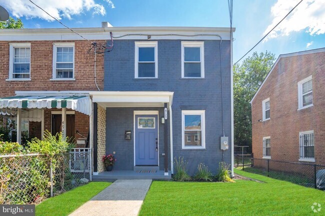
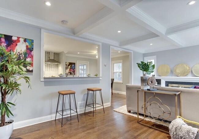
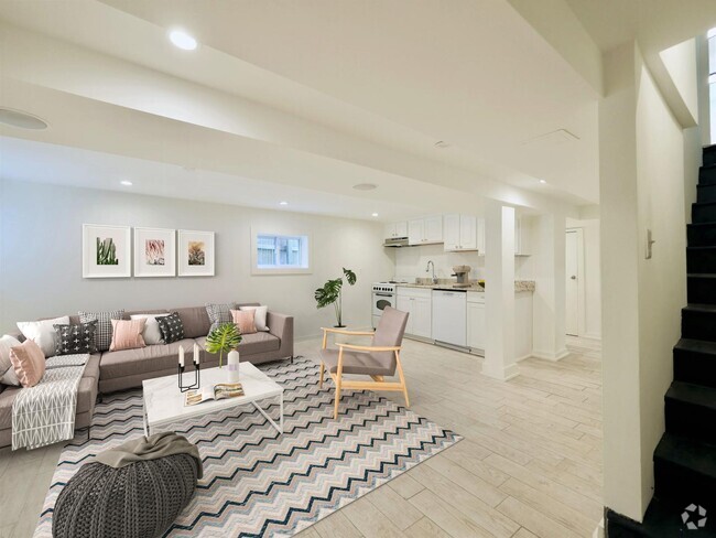
You May Also Like
Similar Rentals Nearby

What Are Walk Score®, Transit Score®, and Bike Score® Ratings?
Walk Score® measures the walkability of any address. Transit Score® measures access to public transit. Bike Score® measures the bikeability of any address.
What is a Sound Score Rating?
A Sound Score Rating aggregates noise caused by vehicle traffic, airplane traffic and local sources

29 Marwood Ct
Rockville, MD 20850