2 Beds, 1 Bath, 814 sq ft
$1,450
Total Monthly Price
12 Month Lease
Total Monthly Price
New
Prices include all required monthly fees.
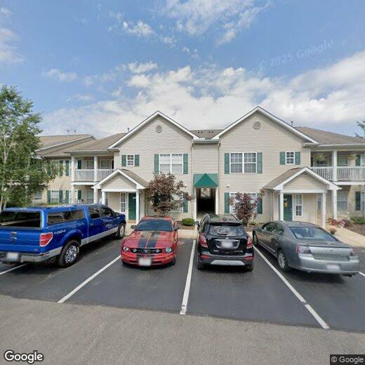
27401 Westown Blvd Unit 1503