2960 Megan Cir
Youngstown, OH 44505
Check Back Soon for Upcoming Availability
| Beds | Baths | Average SF |
|---|---|---|
| 4 Bedrooms 4 Bedrooms 4 Br | 2 Baths 2 Baths 2 Ba | 1,366 SF |
Fees and Policies
The fees listed below are community-provided and may exclude utilities or add-ons. All payments are made directly to the property and are non-refundable unless otherwise specified.
- Dogs Allowed
-
Fees not specified
- Cats Allowed
-
Fees not specified
- Parking
-
Garage--
Details
Utilities Included
-
Water
About This Property
Single family home with 4 bedrooms 2 bathroom. It has central heat, washer & dryer hook ups , basement and an attached garage . Tenants pay electric and gas. Owner pays water. 1 month to 2 month security deposit required depending on results of background check. Tenants undergo background checks. Well-behaved pets considered with additional pet deposit. Property is under Low-income housing. Maximum income restrictions. Renter's insurance is required. Residents can provide proof of insurance or purchase it through us for $15 / month. Call for inquiries !
2960 Megan Cir is a house located in Mahoning County and the 44505 ZIP Code. This area is served by the Youngstown City Schools attendance zone.
House Features
- Washer/Dryer Hookup
- Heating
- Basement
Living in Youngstown, Ohio combines affordability with a rich industrial heritage. Current rental trends show average apartment rates ranging from $592 for studios to $1,069 for three-bedroom units, with modest annual increases between 2-10% across different unit sizes. The city's housing market remains one of the most affordable in Ohio, with one-bedroom apartments averaging $702 per month, significantly below the state median.
Youngstown's neighborhoods each have their own character, from the architecturally significant Crandall Park-Fifth Avenue Historic District to the residential areas surrounding the city center. Mill Creek Park, spanning 2,600 acres, offers residents hiking trails, gardens, and the preserved Lanterman's Mill. Downtown continues to grow with the Covelli Centre and Youngstown Foundation Amphitheatre hosting concerts and events throughout the year. The area near Youngstown State University features coffee shops, bookstores, and casual dining spots.
Learn more about living in YoungstownBelow are rent ranges for similar nearby apartments
- Washer/Dryer Hookup
- Heating
- Basement
| Colleges & Universities | Distance | ||
|---|---|---|---|
| Colleges & Universities | Distance | ||
| Drive: | 13 min | 4.9 mi | |
| Drive: | 34 min | 23.9 mi | |
| Drive: | 45 min | 34.3 mi | |
| Drive: | 46 min | 34.8 mi |
The GreatSchools Rating helps parents compare schools within a state based on a variety of school quality indicators and provides a helpful picture of how effectively each school serves all of its students. Ratings are on a scale of 1 (below average) to 10 (above average) and can include test scores, college readiness, academic progress, advanced courses, equity, discipline and attendance data. We also advise parents to visit schools, consider other information on school performance and programs, and consider family needs as part of the school selection process.
View GreatSchools Rating Methodology
Data provided by GreatSchools.org © 2026. All rights reserved.
You May Also Like
Similar Rentals Nearby
-
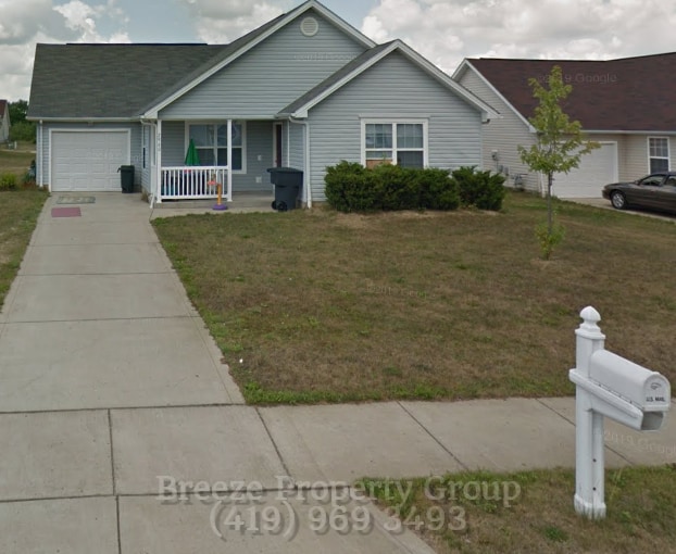
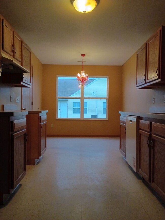
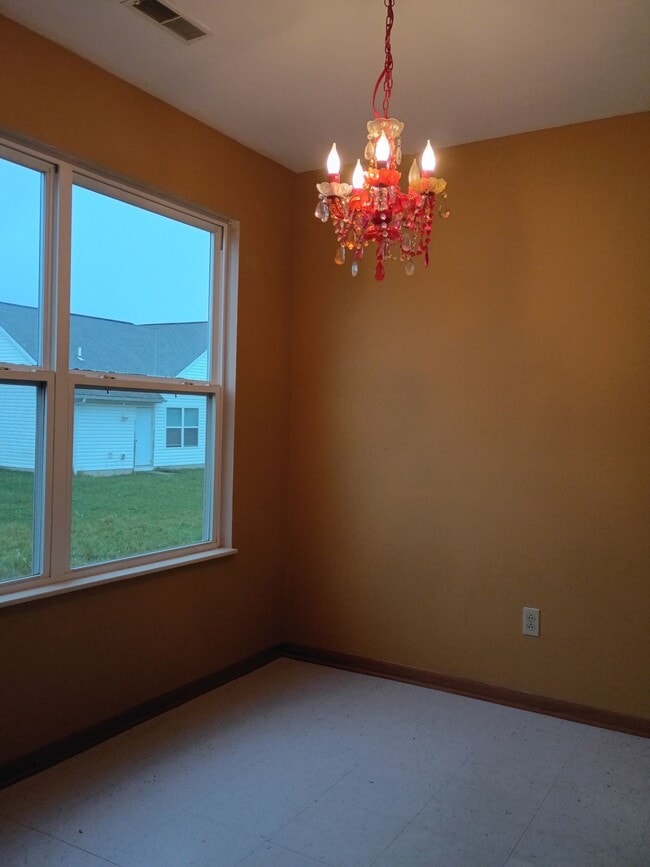
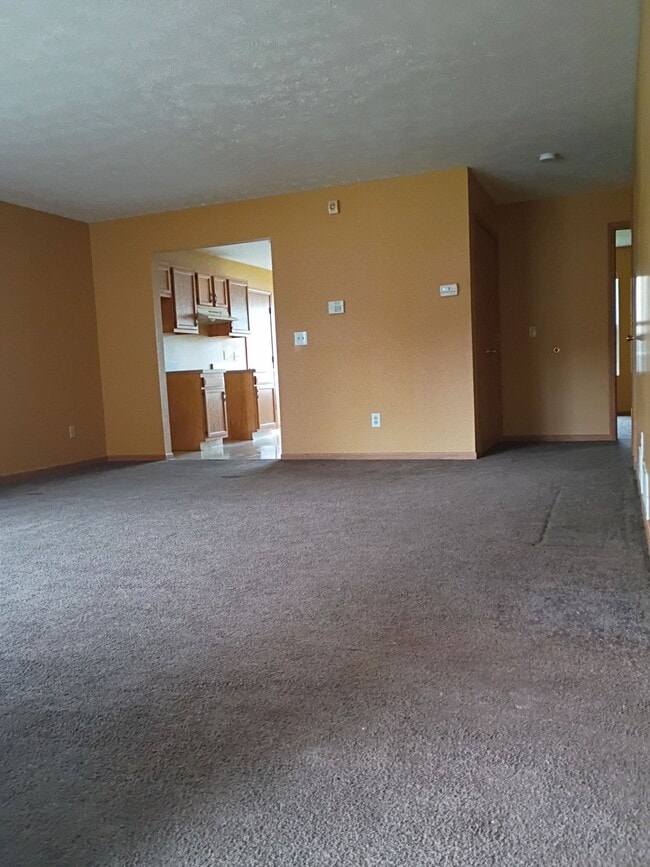
4 Beds, 1 Bath, 1,616 sq ft$1,500Total Monthly Price12 Month LeaseTotal Monthly Price NewPrices include all required monthly fees.154 S Schenley Ave
-
4 Beds, 1 Bath, 1,400 sq ft$1,600Total Monthly Price24 Month LeaseTotal Monthly Price NewPrices include all required monthly fees.3860 Burkey Rd
-
4 Beds, 1 Bath, 1,400 sq ft$1,500Total Monthly Price12 Month LeaseTotal Monthly Price NewPrices include all required monthly fees.611 Raymond St
-
-
-
-
-
-
-
What Are Walk Score®, Transit Score®, and Bike Score® Ratings?
Walk Score® measures the walkability of any address. Transit Score® measures access to public transit. Bike Score® measures the bikeability of any address.
What is a Sound Score Rating?
A Sound Score Rating aggregates noise caused by vehicle traffic, airplane traffic and local sources.