
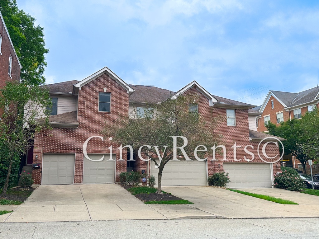
2933 Eden Ave
Cincinnati, OH 45219
-
Bedrooms
3
-
Bathrooms
2.5
-
Square Feet
1,900 sq ft
-
Available
Available Now
Highlights
- Pets Allowed
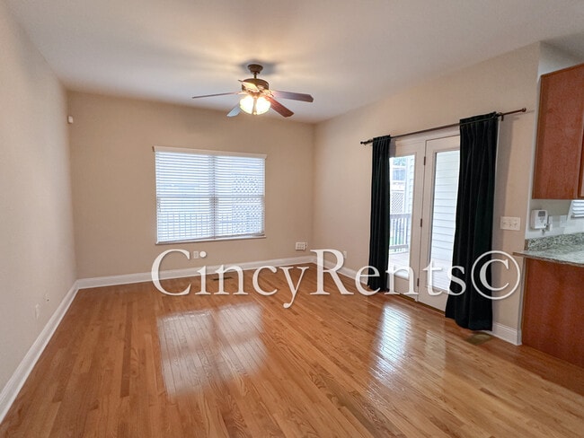
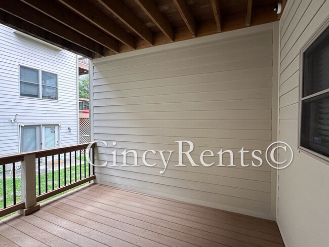
- Balcony
- Walk-In Closets
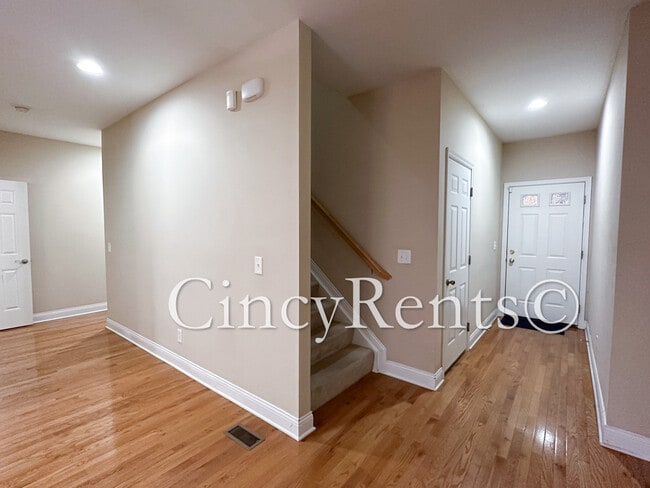
- Basement

2933 Eden Ave is a townhome located in Hamilton County and the 45219 ZIP Code. This area is served by the Cincinnati Public Schools attendance zone.
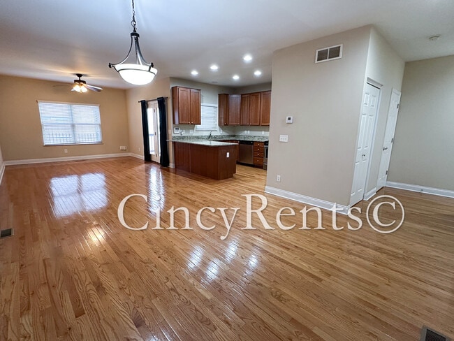
Townhome Features
Washer/Dryer
Dishwasher
Walk-In Closets
Granite Countertops
- Washer/Dryer
- Heating
- Ceiling Fans
- Storage Space
- Tub/Shower
- Dishwasher
- Disposal
- Granite Countertops
- Stainless Steel Appliances
- Eat-in Kitchen
- Kitchen
- Microwave
- Oven
- Refrigerator
- Breakfast Nook
- Dining Room
- Basement
- Walk-In Closets
- Large Bedrooms
- Balcony
Fees and Policies
The fees below are based on community-supplied data and may exclude additional fees and utilities.
- Dogs Allowed
-
Fees not specified
- Cats Allowed
-
Fees not specified
- Parking
-
Garage--
Details
Utilities Included
-
Water
-
Trash Removal
-
Sewer
Contact
- Phone Number
- Contact
Corryville is an up-and-coming community just four miles from Cincinnati’s Central Business District. The neighborhood is next to the University of Cincinnati campus, containing the school’s College of Medicine classrooms.
Because of its proximity to the university, Corryville has experienced rapid growth in the construction of new student apartments and trendy restaurants. Even with such development, the Mecklenburg Gardens restaurant continues to be a popular dining spot for locals since its opening in 1870.
Residents and students alike enjoy the many happy hour options on Short Vine Street. The Bogart’s theater is a cool landmark, known for its metal band concerts. Locals adore the walkability of Corryville, direct access to Interstate 71, and the nearby scenic landscapes of Burnet Woods.
Learn more about living in Corryville| Colleges & Universities | Distance | ||
|---|---|---|---|
| Colleges & Universities | Distance | ||
| Walk: | 7 min | 0.4 mi | |
| Walk: | 7 min | 0.4 mi | |
| Drive: | 7 min | 2.5 mi | |
| Drive: | 9 min | 3.2 mi |


View GreatSchools Rating Methodology
Data provided by GreatSchools.org © 2025. All rights reserved.
Transportation options available in Cincinnati include Findlay Market-Race Station, Race & Elder, located 1.7 miles from 2933 Eden Ave. 2933 Eden Ave is near Cincinnati/Northern Kentucky International, located 17.0 miles or 32 minutes away.
| Transit / Subway | Distance | ||
|---|---|---|---|
| Transit / Subway | Distance | ||
| Drive: | 5 min | 1.7 mi | |
| Drive: | 5 min | 1.8 mi | |
| Drive: | 6 min | 1.8 mi | |
| Drive: | 5 min | 1.9 mi | |
| Drive: | 6 min | 2.2 mi |
| Commuter Rail | Distance | ||
|---|---|---|---|
| Commuter Rail | Distance | ||
|
|
Drive: | 9 min | 4.5 mi |
| Airports | Distance | ||
|---|---|---|---|
| Airports | Distance | ||
|
Cincinnati/Northern Kentucky International
|
Drive: | 32 min | 17.0 mi |
Time and distance from 2933 Eden Ave.
| Shopping Centers | Distance | ||
|---|---|---|---|
| Shopping Centers | Distance | ||
| Drive: | 4 min | 1.7 mi | |
| Drive: | 5 min | 2.1 mi | |
| Drive: | 7 min | 2.4 mi |
| Parks and Recreation | Distance | ||
|---|---|---|---|
| Parks and Recreation | Distance | ||
|
Cincinnati Zoo and Botanical Garden
|
Walk: | 13 min | 0.7 mi |
|
Trailside Nature Center
|
Walk: | 16 min | 0.8 mi |
|
Burnet Woods
|
Walk: | 17 min | 0.9 mi |
|
William H. Taft National Historic Site
|
Drive: | 4 min | 1.1 mi |
|
Eden Park
|
Drive: | 6 min | 2.3 mi |
| Hospitals | Distance | ||
|---|---|---|---|
| Hospitals | Distance | ||
| Walk: | 7 min | 0.4 mi | |
| Walk: | 10 min | 0.5 mi | |
| Walk: | 14 min | 0.7 mi |
| Military Bases | Distance | ||
|---|---|---|---|
| Military Bases | Distance | ||
| Drive: | 69 min | 51.5 mi | |
| Drive: | 75 min | 56.6 mi | |
| Drive: | 77 min | 59.8 mi |
- Washer/Dryer
- Heating
- Ceiling Fans
- Storage Space
- Tub/Shower
- Dishwasher
- Disposal
- Granite Countertops
- Stainless Steel Appliances
- Eat-in Kitchen
- Kitchen
- Microwave
- Oven
- Refrigerator
- Breakfast Nook
- Dining Room
- Basement
- Walk-In Closets
- Large Bedrooms
- Balcony
2933 Eden Ave Photos
What Are Walk Score®, Transit Score®, and Bike Score® Ratings?
Walk Score® measures the walkability of any address. Transit Score® measures access to public transit. Bike Score® measures the bikeability of any address.
What is a Sound Score Rating?
A Sound Score Rating aggregates noise caused by vehicle traffic, airplane traffic and local sources
2933 Eden Ave
Cincinnati, OH 45219