
Venue Residences
3688 Overland Ave,
Los Angeles, CA 90034
$2,625 - $5,650
Studio - 2 Beds
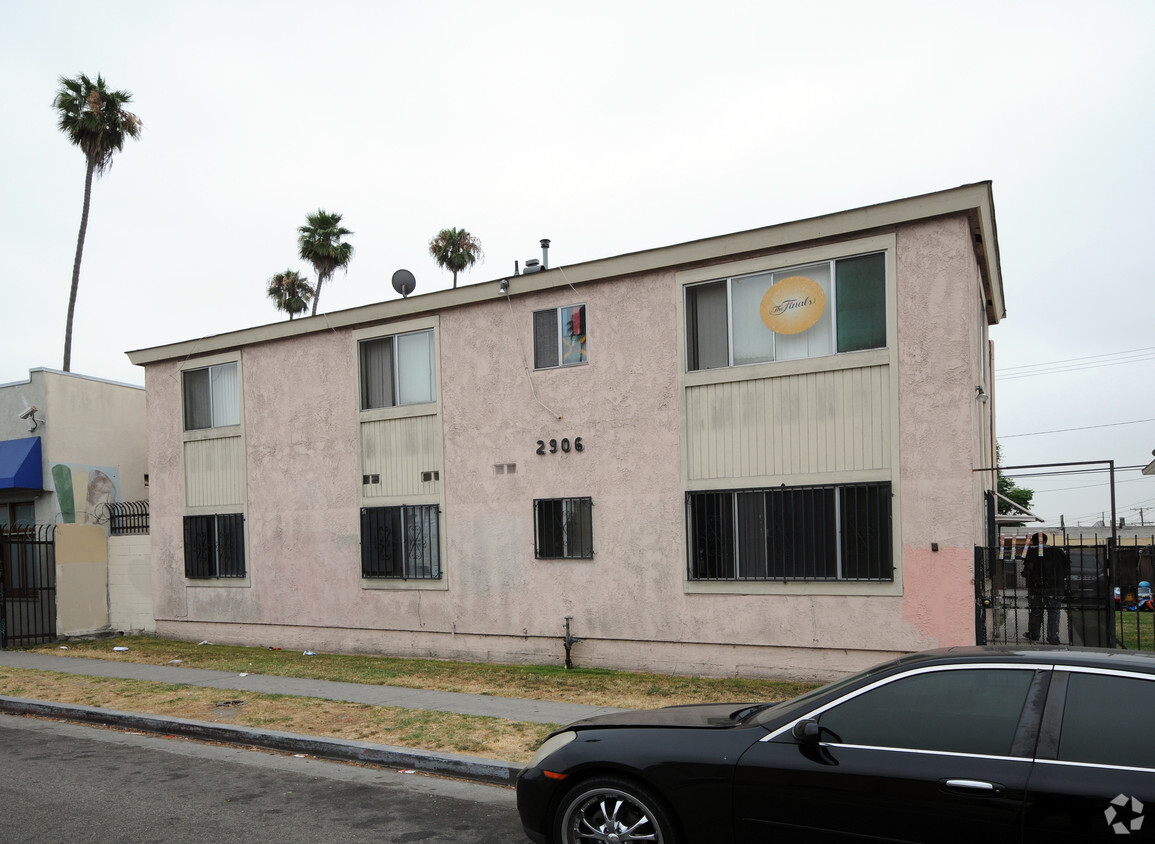
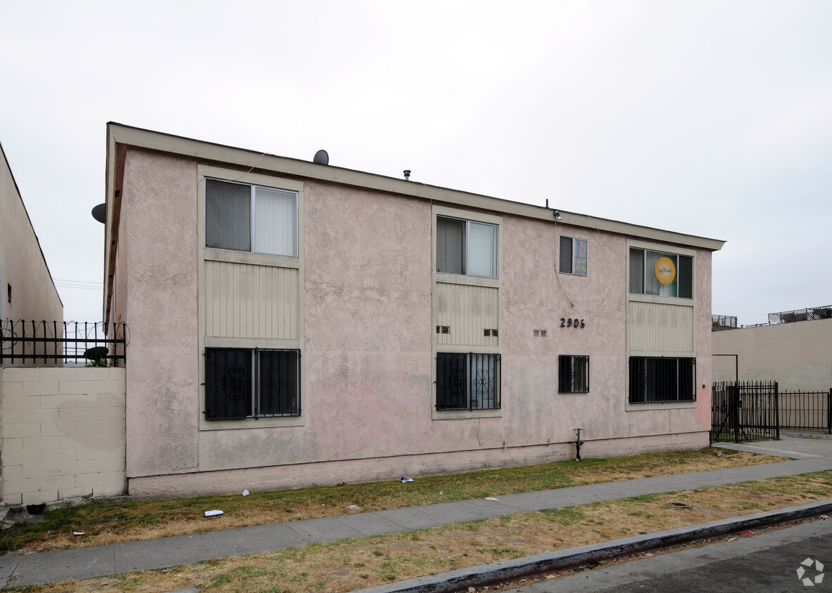

Experience Los Angeles living at 2906 W Jefferson Blvd. Located in Los Angeles's 90018 area, moving here offers a number of nearby attractions to enjoy. The leasing staff is waiting to show you all that this community has in store. Come for a visit to check out the current floorplan options. It's all waiting for you at 2906 W Jefferson Blvd. Contact or drop by to find out the availability today.
2906 W Jefferson Blvd is an apartment community located in Los Angeles County and the 90018 ZIP Code. This area is served by the Los Angeles Unified Rocp School District attendance zone.
Similar to its famed neighbor, Baldwin Hills, Leimert Park is one of Los Angeles’ most historic neighborhoods. Along with being the former home to several celebrities like Ray Charles and Ella Fitzgerald, Leimert Park has been referenced in multiple tv shows and was even the setting for the 90’s hit show, Moesha. Along with its roots in Hollywood, Leimert Park is best known for being home to Leimert Park Village, a hub for culture, art, and music.
Leimert Park Village is the heart of the neighborhood and helps fuel the area’s strong sense of community. The commercial hub is filled with art galleries, coffee shops, locally owned stores, and authentic eateries serving everything from jerk chicken to injera. Join a poetry night at the World Stage Performance Gallery or catch a movie at the Vision Theatre, one of LA’s last historic art deco theaters.
Learn more about living in Leimert ParkCompare neighborhood and city base rent averages by bedroom.
| Leimert Park | Los Angeles, CA | |
|---|---|---|
| Studio | $1,432 | $1,710 |
| 1 Bedroom | $1,426 | $2,180 |
| 2 Bedrooms | $1,373 | $3,015 |
| 3 Bedrooms | $3,499 | $4,300 |
| Colleges & Universities | Distance | ||
|---|---|---|---|
| Colleges & Universities | Distance | ||
| Drive: | 5 min | 2.5 mi | |
| Drive: | 7 min | 3.9 mi | |
| Drive: | 8 min | 4.5 mi | |
| Drive: | 8 min | 4.8 mi |


Transportation options available in Los Angeles include Expo/Crenshaw, located 0.7 mile from 2906 W Jefferson Blvd. 2906 W Jefferson Blvd is near Los Angeles International, located 9.1 miles or 17 minutes away, and Bob Hope, located 15.6 miles or 27 minutes away.
| Transit / Subway | Distance | ||
|---|---|---|---|
| Transit / Subway | Distance | ||
|
|
Walk: | 12 min | 0.7 mi |
|
|
Drive: | 2 min | 1.2 mi |
|
|
Drive: | 3 min | 1.6 mi |
| Drive: | 3 min | 1.6 mi | |
| Drive: | 3 min | 2.0 mi |
| Commuter Rail | Distance | ||
|---|---|---|---|
| Commuter Rail | Distance | ||
|
|
Drive: | 12 min | 6.9 mi |
|
|
Drive: | 14 min | 7.2 mi |
|
|
Drive: | 18 min | 10.5 mi |
| Drive: | 16 min | 11.0 mi | |
|
|
Drive: | 24 min | 14.4 mi |
| Airports | Distance | ||
|---|---|---|---|
| Airports | Distance | ||
|
Los Angeles International
|
Drive: | 17 min | 9.1 mi |
|
Bob Hope
|
Drive: | 27 min | 15.6 mi |
Scores provided by
Traffic
-Airport
-Businesses
-Scores provided by
HowLoud What is a Sound Score Rating? A Sound Score Rating aggregates noise caused by vehicle traffic, airplane traffic and local sources. How It WorksTime and distance from 2906 W Jefferson Blvd.
| Shopping Centers | Distance | ||
|---|---|---|---|
| Shopping Centers | Distance | ||
| Walk: | 8 min | 0.4 mi | |
| Walk: | 15 min | 0.8 mi | |
| Walk: | 16 min | 0.8 mi |
| Parks and Recreation | Distance | ||
|---|---|---|---|
| Parks and Recreation | Distance | ||
|
Natural History Museum of LA County
|
Drive: | 5 min | 2.8 mi |
|
Exposition Park Rose Garden
|
Drive: | 5 min | 2.9 mi |
|
Kenneth Hahn State Recreation Area
|
Drive: | 8 min | 3.3 mi |
|
California Science Center
|
Drive: | 8 min | 3.5 mi |
|
La Brea Tar Pits
|
Drive: | 8 min | 4.3 mi |
| Hospitals | Distance | ||
|---|---|---|---|
| Hospitals | Distance | ||
| Drive: | 6 min | 3.7 mi | |
| Drive: | 7 min | 4.0 mi | |
| Drive: | 7 min | 4.2 mi |
| Military Bases | Distance | ||
|---|---|---|---|
| Military Bases | Distance | ||
| Drive: | 17 min | 10.7 mi | |
| Drive: | 34 min | 24.9 mi | |
| Drive: | 37 min | 27.1 mi |
What Are Walk Score®, Transit Score®, and Bike Score® Ratings?
Walk Score® measures the walkability of any address. Transit Score® measures access to public transit. Bike Score® measures the bikeability of any address.
What is a Sound Score Rating?
A Sound Score Rating aggregates noise caused by vehicle traffic, airplane traffic and local sources.

2906 W Jefferson Blvd
Los Angeles, CA 90018


