$1,995
/ Month
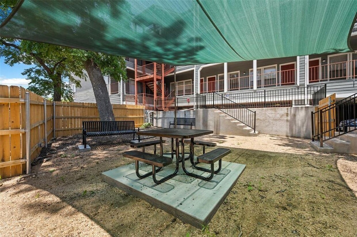
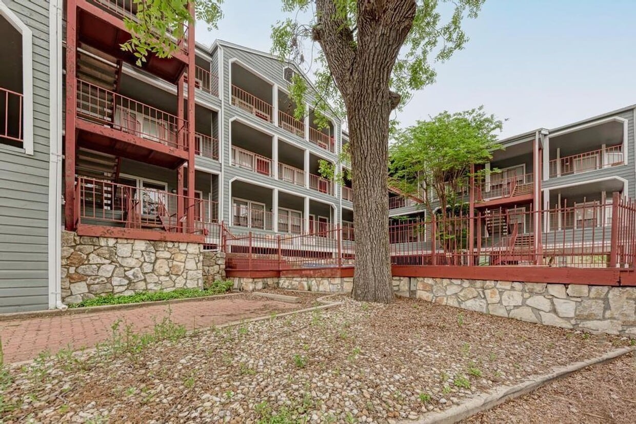
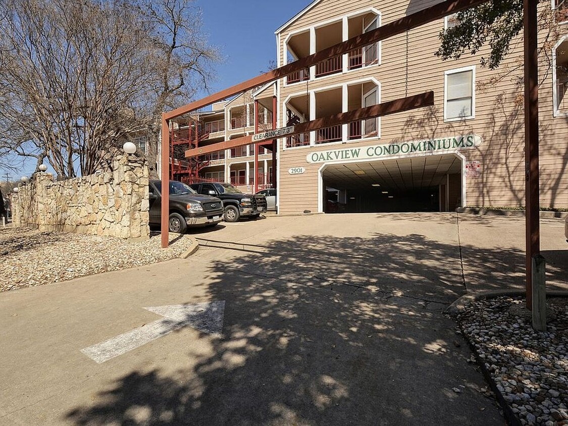
2901 San Jacinto Blvd
Austin, TX 78705
Today
Favorites
-
Bedrooms
2
-
Bathrooms
2
-
Square Feet
938 sq ft
2901 San Jacinto Blvd

Favorites
Located just north of the University of Texas at Austin, North University is a vibrant neighborhood filled with residential and commercial offerings. Due to its close proximity to UT Austin, North University is especially popular with students, faculty, and staff. The neighborhood is also a convenient option for those working at nearby medical facilities like Heart Hospital of Austin and Seton Medical Center Austin.
North University contains Austin Presbyterian Theological Seminary, in addition to numerous diverse eateries, cafes, music venues, and bars strewn along Guadalupe Street. Getting around from North University’s central location is simple with convenience to I-35 and the MoPac Expressway.
Learn more about living in North University
Education
| Colleges & Universities | Distance | ||
|---|---|---|---|
| Colleges & Universities | Distance | ||
| Walk: | 15 min | 0.8 mi | |
| Drive: | 5 min | 1.9 mi | |
| Drive: | 7 min | 3.1 mi | |
| Drive: | 13 min | 6.5 mi |
2901 San Jacinto Blvd is within 15 minutes or 0.8 mile from University of Texas at Austin. It is also near Austin C.C., Rio Grande Campus and Austin C.C., Eastview Campus.
Schools


Public Elementary School
Grades K-6
458 Students
Attendance Zone
Public Middle School
Grades 6-8
1,255 Students
Attendance Zone
Public High School
Grades 9-12
1,824 Students
Attendance Zone
Private Elementary & Middle School
Grades PK-8
72 Students
Nearby
School data provided by
 The GreatSchools Rating helps parents compare schools within a state based on a variety of school quality indicators and provides a helpful picture of how effectively each school serves all of its students. Ratings are on a scale of 1 (below average) to 10 (above average) and can include test scores, college readiness, academic progress, advanced courses, equity, discipline and attendance data. We also advise parents to visit schools, consider other information on school performance and programs, and consider family needs as part of the school selection process.
View GreatSchools Rating Methodology
Data provided by GreatSchools.org © 2025. All rights reserved.
View GreatSchools Rating Methodology
Data provided by GreatSchools.org © 2025. All rights reserved.
Transportation options available in Austin include M L King Jr Station, located 2.3 miles from 2901 San Jacinto Blvd. 2901 San Jacinto Blvd is near Austin-Bergstrom International, located 12.7 miles or 25 minutes away.
| Transit / Subway | Distance | ||
|---|---|---|---|
| Transit / Subway | Distance | ||
| Drive: | 6 min | 2.3 mi | |
| Drive: | 6 min | 2.9 mi | |
| Drive: | 6 min | 3.3 mi | |
| Drive: | 7 min | 3.8 mi | |
| Drive: | 9 min | 4.7 mi |
| Commuter Rail | Distance | ||
|---|---|---|---|
| Commuter Rail | Distance | ||
|
|
Drive: | 8 min | 3.0 mi |
|
|
Drive: | 41 min | 33.4 mi |
|
|
Drive: | 44 min | 34.9 mi |
| Airports | Distance | ||
|---|---|---|---|
| Airports | Distance | ||
|
Austin-Bergstrom International
|
Drive: | 25 min | 12.7 mi |
Time and distance from 2901 San Jacinto Blvd.
| Shopping Centers | Distance | ||
|---|---|---|---|
| Shopping Centers | Distance | ||
| Walk: | 11 min | 0.6 mi | |
| Walk: | 11 min | 0.6 mi | |
| Walk: | 15 min | 0.8 mi |
2901 San Jacinto Blvd has 3 shopping centers within 0.8 mile, which is about a 15-minute walk. The miles and minutes will be for the farthest away property.
| Parks and Recreation | Distance | ||
|---|---|---|---|
| Parks and Recreation | Distance | ||
|
Texas Memorial Museum
|
Walk: | 9 min | 0.5 mi |
|
Elisabet Ney Museum
|
Drive: | 3 min | 1.3 mi |
|
Shoal Creek Greenbelt Park
|
Drive: | 4 min | 1.6 mi |
|
Boggy Creek Greenbelt
|
Drive: | 6 min | 2.6 mi |
|
Thinkery
|
Drive: | 6 min | 2.9 mi |
2901 San Jacinto Blvd has 5 parks within 2.9 miles, including Texas Memorial Museum, Shoal Creek Greenbelt Park, and Elisabet Ney Museum.
| Hospitals | Distance | ||
|---|---|---|---|
| Hospitals | Distance | ||
| Walk: | 13 min | 0.7 mi | |
| Walk: | 16 min | 0.8 mi | |
| Drive: | 4 min | 1.8 mi |
2901 San Jacinto Blvd has 3 hospitals within 1.8 miles, the nearest is St. David's Medical Center which is 0.7 mile away and a 13 minute walk.
| Military Bases | Distance | ||
|---|---|---|---|
| Military Bases | Distance | ||
| Drive: | 83 min | 68.4 mi | |
| Drive: | 90 min | 72.8 mi |
2901 San Jacinto Blvd is 68.4 miles from Randolph Air Force Base, and is convenient to other military bases, including Fort Hood.
You May Also Like
Similar Rentals Nearby
-
-
-
-
-
-
-
-
-
1 / 23

-


What Are Walk Score®, Transit Score®, and Bike Score® Ratings?
Walk Score® measures the walkability of any address. Transit Score® measures access to public transit. Bike Score® measures the bikeability of any address.
What is a Sound Score Rating?
A Sound Score Rating aggregates noise caused by vehicle traffic, airplane traffic and local sources

2901 San Jacinto Blvd
Austin, TX 78705