


$1,650
Total Monthly Price
289 S Stark Hwy Unit 1
Weare, NH 03281
2 Weeks Ago
|
Edit
Favorites
289 S Stark Hwy Unit 1

Favorites
Check Back Soon for Upcoming Availability
| Beds | Baths | Average SF |
|---|---|---|
| 2 Bedrooms 2 Bedrooms 2 Br | 1 Bath 1 Bath 1 Ba | 850 SF |
Fees and Policies
The fees listed below are community-provided and may exclude utilities or add-ons. All payments are made directly to the property and are non-refundable unless otherwise specified.
- Dogs Allowed
-
Fees not specified
- Cats Allowed
-
Fees not specified
- Parking
-
Surface Lot--
Details
Utilities Included
-
Heat
Lease Options
-
12 Month
Property Information
-
2 units
About This Property
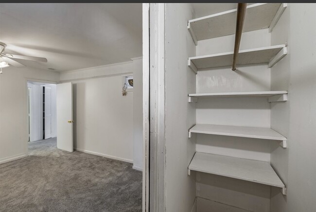
**HEAT INCLUDED W/ RENT!!** 2 bedroom 1 bath unit . You will have your own private front yard that is separated from the top unit . **THIS IS A VERY SMALL UNIT NOT MEANT FOR MORE THAN 1 MINOR** Snow and trash removal on tenant. no smoking in unit . First months rent and security deposit will be required to move in. Background check and credit check will be required as well.
289 S Stark Hwy is an apartment community located in Hillsborough County and the 03281 ZIP Code.
Apartment Features
- Washer/Dryer
- Heating
- Smoke Free
- Wheelchair Accessible
- Yard
289 S Stark Hwy,
Weare,
NH
03281
Amenities
- Washer/Dryer
- Heating
- Smoke Free
- Wheelchair Accessible
- Yard
Expenses
Utilities Included
Heat
Included
Education
| Colleges & Universities | Distance | ||
|---|---|---|---|
| Colleges & Universities | Distance | ||
| Drive: | 21 min | 10.9 mi | |
| Drive: | 25 min | 12.4 mi | |
| Drive: | 23 min | 13.7 mi | |
| Drive: | 33 min | 15.5 mi |
289 S Stark Hwy Unit 1 is within 21 minutes or 10.9 miles from Saint Anselm College. It is also near MCPHS University, Manchester and New England College.
Walkability Near 289 S Stark Hwy Weare, NH 03281
Getting Around
 What do Walkability, Transit, Drivability, and Bikeability mean?
Walkability measures the walking distance to day-to-day needs.
Transit measures access to public transportation.
Drivability measures congestion, parking availability, and access to major roads.
Bikeability measures the suitability for cycling.
How It Works
What do Walkability, Transit, Drivability, and Bikeability mean?
Walkability measures the walking distance to day-to-day needs.
Transit measures access to public transportation.
Drivability measures congestion, parking availability, and access to major roads.
Bikeability measures the suitability for cycling.
How It Works
Not Walkable
Walkability
10
/ 100
Exceptionally Drivable
Drivability
100
/ 100
Not Bikeable
Bikeability
0
/ 100
Scores provided by
-
Soundscore™
-
/ 100
Traffic
-Airport
-Businesses
-Scores provided by
HowLoud What is a Sound Score Rating? A Sound Score Rating aggregates noise caused by vehicle traffic, airplane traffic and local sources. How It WorksYou May Also Like
Similar Rentals Nearby


What Are Walk Score®, Transit Score®, and Bike Score® Ratings?
Walk Score® measures the walkability of any address. Transit Score® measures access to public transit. Bike Score® measures the bikeability of any address.
What is a Sound Score Rating?
A Sound Score Rating aggregates noise caused by vehicle traffic, airplane traffic and local sources.

289 S Stark Hwy
Weare, NH 03281