
$3,550
/ Month
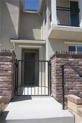
28750 Calle de la Paz Dr
Santa Clarita, CA 91354
Favorites
818-572-0596
-
Bedrooms
3
-
Bathrooms
2.5
-
Square Feet
1,430 sq ft
-
Available
Available Now
28750 Calle de la Paz Dr

Favorites
About This Home
Available Now
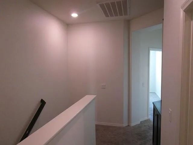
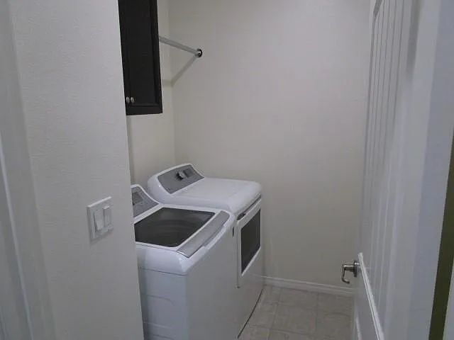
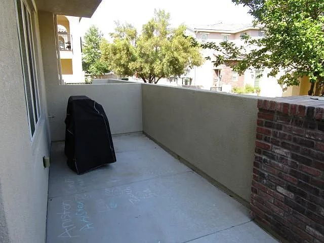
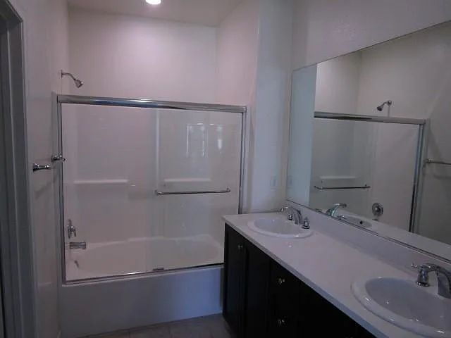
Welcome home to this beautifully maintained townhome located in Valencia's highly sought-after West Creek community. Built in 2016, this spacious residence offers modern finishes, an open-concept floor plan, and the convenience of a prime Valencia location near top-rated schools, parks, shopping, dining, and commuter access. The thoughtfully designed layout features three spacious bedrooms, three bathrooms, central air conditioning, and a full-size washer and dryer conveniently located within the home. The open living and dining areas flow seamlessly into the kitchen, creating the perfect space for relaxing or entertaining. Residents will enjoy the comfort of a newer construction home, low-maintenance living, and access to everything that makes Valencia one of Southern California's most desirable communities.
28750 Calle De La Paz Dr is an apartment community located in Los Angeles County and the 91354 ZIP Code.
* Price shown is base rent. Excludes user-selected optional fees and variable or usage-based fees and required charges due at or prior to move-in or at move-out. Price, availability, fees, and any applicable rent special are subject to change without notice.
* Square footage definitions vary. Displayed square footage is approximate.
Features
Air Conditioning
Dishwasher
Microwave
Refrigerator
- Air Conditioning
- Ceiling Fans
- Smoke Free
- Dishwasher
- Microwave
- Refrigerator
- Laundry Facilities
Fees and Policies
The fees listed below are community-provided and may exclude utilities or add-ons. All payments are made directly to the property and are non-refundable unless otherwise specified.
- Dogs Allowed
-
Fees not specified
-
Weight limit--
-
Pet Limit--
Details
Utilities Included
-
Trash Removal
Contact
- Listed by Metcalf Property Management | Metcalf Property Management
- Phone Number
- Contact
Location
Get Directions
Saugus grants residents a laid-back lifestyle that allows them to take in the natural beauty of the region without the noise and crowds of the big city. Driving around the neighborhood, you can see the vast expanses of open space and sense of historic charm that made this area the site of so many early Western films.
East of Interstate 5, Saugus sits about five miles from Downtown Santa Clarita. The neighborhood’s central location provides easy access to all the amenities of the city while also giving residents a peaceful place to call home. Multiple high-quality school districts and a strong sense of community make Saugus a top choice for numerous families.
Learn more about living in Saugus
Amenities
- Air Conditioning
- Ceiling Fans
- Smoke Free
- Dishwasher
- Microwave
- Refrigerator
- Laundry Facilities
Expenses
Utilities Included
Trash Removal
Included
Education
| Colleges & Universities | Distance | ||
|---|---|---|---|
| Colleges & Universities | Distance | ||
| Drive: | 12 min | 5.5 mi | |
| Drive: | 26 min | 19.0 mi | |
| Drive: | 33 min | 20.4 mi | |
| Drive: | 43 min | 32.3 mi |
28750 Calle de la Paz Dr is within 12 minutes or 5.5 miles from College of the Canyons. It is also near Mission College and Cal State Northridge.
Getting Around
 What do Walkability, Transit, Drivability, and Bikeability mean?
Walkability measures the walking distance to day-to-day needs.
Transit measures access to public transportation.
Drivability measures congestion, parking availability, and access to major roads.
Bikeability measures the suitability for cycling.
How It Works
What do Walkability, Transit, Drivability, and Bikeability mean?
Walkability measures the walking distance to day-to-day needs.
Transit measures access to public transportation.
Drivability measures congestion, parking availability, and access to major roads.
Bikeability measures the suitability for cycling.
How It Works
Fairly Walkable
Walkability
40
/ 100
Limited Public Transit
Transit
30
/ 100
Very Drivable
Drivability
80
/ 100
Fairly Bikeable
Bikeability
40
/ 100
Scores provided by
-
Soundscore™
-
/ 100
Traffic
-Airport
-Businesses
-Scores provided by
HowLoud What is a Sound Score Rating? A Sound Score Rating aggregates noise caused by vehicle traffic, airplane traffic and local sources. How It WorksYou May Also Like
Similar Rentals Nearby
-
-
-
-
-
-
3 Beds$3,289+Total Monthly PriceTotal Monthly Price NewPrices include base rent and required monthly fees of $67. Variable costs based on usage may apply.Base Rent:3 Beds$3,221+Specials
Pets Allowed Fitness Center Pool Dishwasher In Unit Washer & Dryer Walk-In Closets
-
-
-
-


What Are Walk Score®, Transit Score®, and Bike Score® Ratings?
Walk Score® measures the walkability of any address. Transit Score® measures access to public transit. Bike Score® measures the bikeability of any address.
What is a Sound Score Rating?
A Sound Score Rating aggregates noise caused by vehicle traffic, airplane traffic and local sources.
28750 Calle de la Paz Dr
Santa Clarita, CA 91354