2811 Pearl Ave

2811 Pearl Ave, Lorain, OH 44055

2 Weeks Ago
Share Listing
Favorites
2811 Pearl Ave
Share Listing
Favorites

About 2811 Pearl Ave Lorain, OH 44055

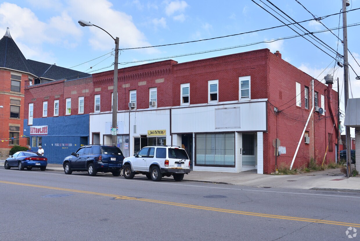
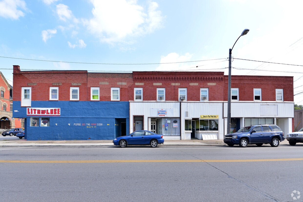
Discover your new place at 2811 Pearl Ave in Lorain, OH. The location of this community is on Pearl Ave in the 44055 area of Lorain. The professional leasing staff is waiting to show you all that this community has in store. Schedule a time to check out the current floorplan options. Welcome home to 2811 Pearl Ave. Stop by the leasing office to find out the availability today.

2811 Pearl Ave is an apartment community located in Lorain County and the 44055 ZIP Code. This area is served by the Lorain City School District attendance zone.

Location
2811 Pearl Ave, Lorain,
OH 44055
Get Directions
Education
Colleges & Universities Distance
Drive: 11 min 5.7 mi
Drive: 23 min 13.3 mi
Drive: 20 min 14.5 mi
Drive: 24 min 17.3 mi
2811 Pearl Ave is within 11 minutes or 5.7 miles from Lorain County Comm. Coll.. It is also near Cuyahoga C.C., Westshore and Oberlin College.
Schools
Public Elementary School
Grades PK-5
306 Students
Attendance Zone
Public Elementary School
Grades PK-5
265 Students
Nearby
Public Middle School
Grades 6-8
392 Students
Attendance Zone
Public High School
Grades 9-12
325 Students
Nearby
Public High School
Grades 9-12
1,678 Students
Attendance Zone
Private Elementary & Middle School
Grades PK-8
251 Students
Nearby
Private High School
Grades 9-12
404 Students
Nearby
Transportation

2811 Pearl Ave is near Cleveland-Hopkins International, located 21.6 miles or 32 minutes away.

Commuter Rail Distance
Drive: 11 min 7.4 mi
Drive: 44 min 29.9 mi
Drive: 47 min 33.6 mi
Drive: 49 min 35.2 mi
Drive: 50 min 39.3 mi
Airports Distance
Airports Distance
Cleveland-Hopkins International
Drive: 32 min 21.6 mi

Walkability Near 2811 Pearl Ave Lorain, OH 44055

Getting Around
Somewhat Walkable
Walkability
30 / 100
Exceptionally Drivable
Drivability
100 / 100
Somewhat Bikeable
Bikeability
30 / 100

Scores provided by

What do Walkability, Transit, Drivability, and Bikeability mean? Walkability measures the walking distance to day-to-day needs. Transit measures access to public transportation. Drivability measures congestion, parking availability, and access to major roads. Bikeability measures the suitability for cycling. How It Works
-
Soundscore
- / 100

Traffic

-

Airport

-

Businesses

-

Scores provided by

HowLoud What is a Sound Score Rating? A Sound Score Rating aggregates noise caused by vehicle traffic, airplane traffic and local sources. How It Works
Points of Interest

Time and distance from 2811 Pearl Ave.

Shopping Centers Distance
Walk: 16 min 0.9 mi
Drive: 4 min 2.4 mi
Drive: 7 min 4.5 mi
2811 Pearl Ave has 3 shopping centers within 4.5 miles, which is about a 7-minute drive. The miles and minutes will be for the farthest away property.
Parks and Recreation Distance
Black River Landing
Drive: 7 min 3.3 mi
French Creek Reservation
Drive: 8 min 3.8 mi
Lakeview Park on West Erie Avenue
Drive: 8 min 4.4 mi
Black River Reservation
Drive: 9 min 5.2 mi
Sandy Ridge Reservation
Drive: 18 min 10.5 mi
2811 Pearl Ave has 5 parks within 10.5 miles, including Black River Landing, French Creek Reservation, and Lakeview Park on West Erie Avenue.
Hospitals Distance
Hospitals Distance
Drive: 10 min 5.9 mi
Drive: 11 min 6.1 mi
Drive: 12 min 7.6 mi
2811 Pearl Ave has 3 hospitals within 7.6 miles, the nearest is Clear Vista Health & Wellness which is 5.9 miles away and a 10 minute drive.
Military Bases Distance
Drive: 70 min 57.8 mi
Drive: 97 min 72.9 mi
2811 Pearl Ave is 57.8 miles from Camp Perry Air Guard Station, and is convenient to other military bases, including Mansfield Lahm Airport Air Guard Station.

Explore Similar Rentals Nearby