
Miamiview Apartments
8149 W Mill St,
Cleves, OH 45002
$1,070 - $1,830
1-3 Beds


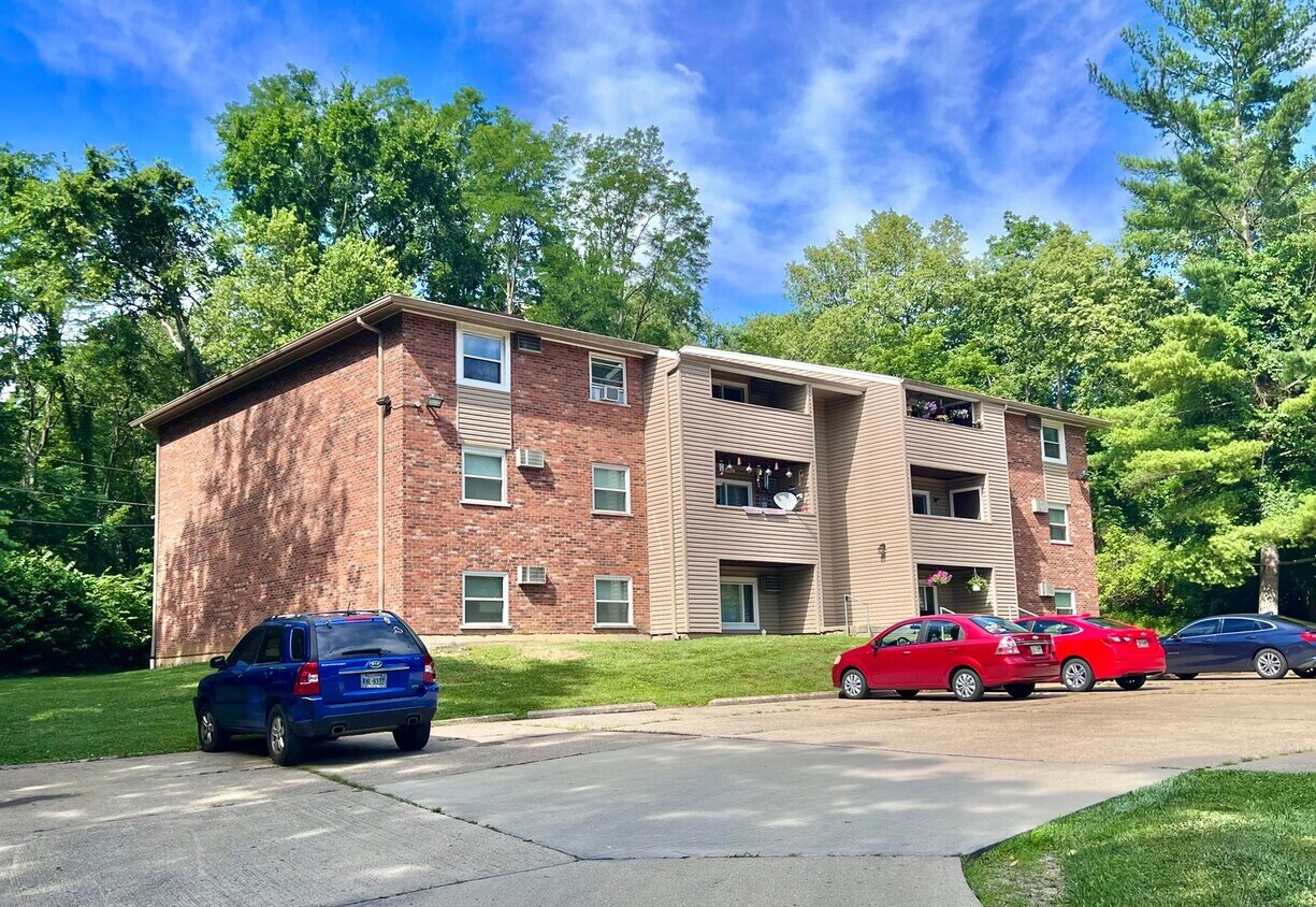

Enjoy Cleves living at 250 E State Rd. This community is located in the Outer Hamilton County area of Cleves. The leasing staff will assist you in finding your ideal place. So get a head start on your move. Contact or stop by 250 E State Rd to schedule a tour!
250 E State Rd is an apartment community located in Hamilton County and the 45002 ZIP Code. This area is served by the Three Rivers Local School District attendance zone.
Located just off of the Ohio River and the Ohio-Kentucky state line, Cleves is a charming little city that features sprawling woodlands, upscale residential neighborhoods, and a commutable location. Cleves is only 16 miles west of Cincinnati along the river, making it the ideal suburb to put down roots. Maintaining proximity to this major metro area keeps Cleves as convenient as ever. Residents have easy access to everything this city has to offer, from major job opportunities to popular attractions. Explore the Cincinnati Art Museum and the Freedom Center, enjoy a show at Taft Theatre, or enjoy a community event at Fountain Square.
Though small, Cleves offers a sense of community that you can’t find in just any suburb. The upscale yet affordable housing, family-friendly atmosphere, and local charm keep this place afloat. From local shops and restaurants to well-kept community parks, Cleves is the ideal suburb for families and those interested in a reasonable commute to Cincinnati.
Learn more about living in Cleves| Colleges & Universities | Distance | ||
|---|---|---|---|
| Colleges & Universities | Distance | ||
| Drive: | 17 min | 9.6 mi | |
| Drive: | 30 min | 15.6 mi | |
| Drive: | 30 min | 17.0 mi | |
| Drive: | 31 min | 17.4 mi |


Scores provided by
Traffic
-Airport
-Businesses
-Scores provided by
HowLoud What is a Sound Score Rating? A Sound Score Rating aggregates noise caused by vehicle traffic, airplane traffic and local sources. How It WorksPets Allowed Fitness Center Pool Kitchen Clubhouse Heat
What Are Walk Score®, Transit Score®, and Bike Score® Ratings?
Walk Score® measures the walkability of any address. Transit Score® measures access to public transit. Bike Score® measures the bikeability of any address.
What is a Sound Score Rating?
A Sound Score Rating aggregates noise caused by vehicle traffic, airplane traffic and local sources.
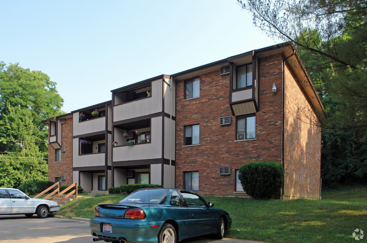
250 E State Rd
Cleves, OH 45002


