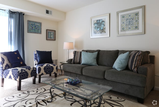
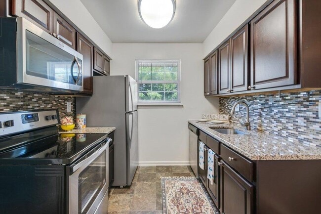
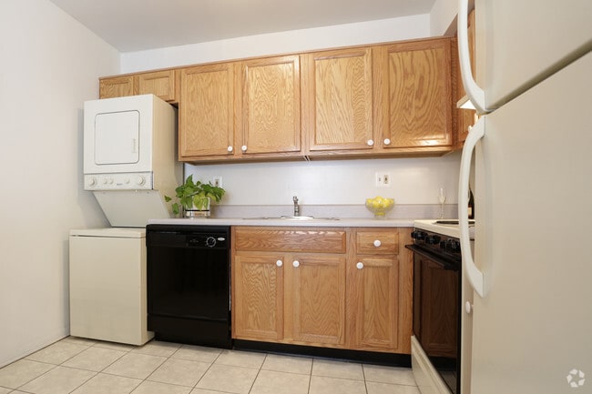
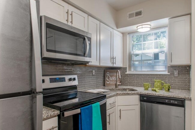
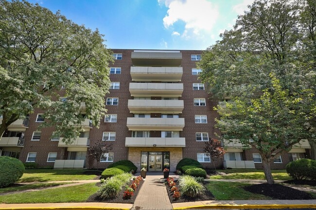
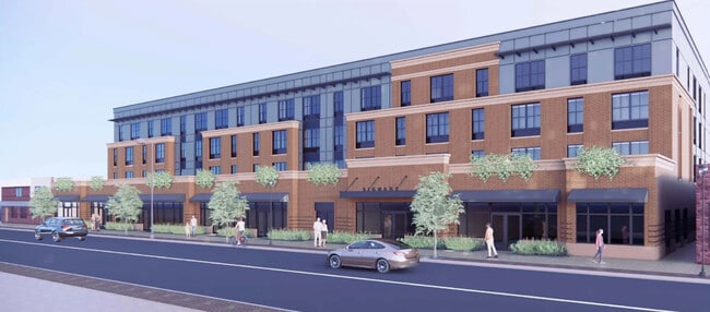
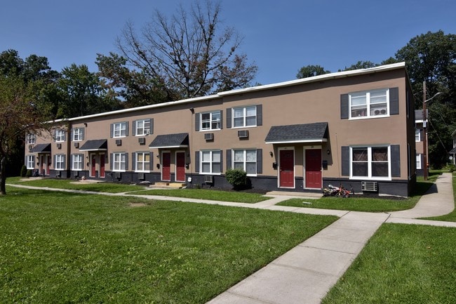
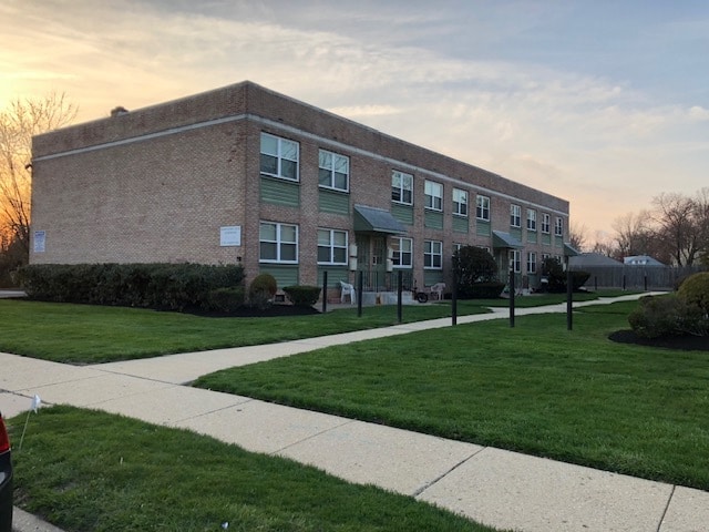
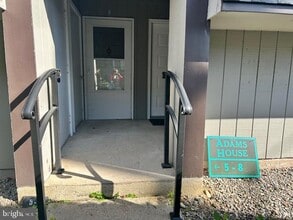
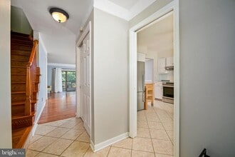
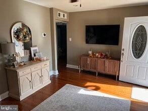
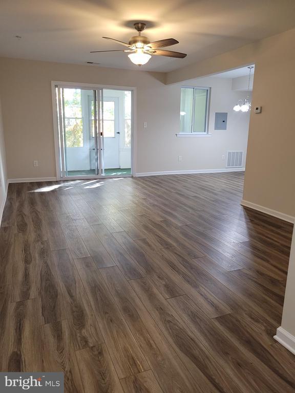
Apartamentos de renta en Maple Shade Township, NJ - 290 Alquileres
290 apartamentos disponibles
Apartamentos de renta en Maple Shade Township, NJ
Deja que Apartamentos.com te ayude a encontrar el lugar perfecto cerca de ti. Ya sea que busques un apartamento lujoso de dos habitaciones o un acogedor estudio, Apartamentos.com te ofrece una manera práctica de consultar el extenso inventario de apartamentos cerca de ti para descubrir el lugar al que deseas llamar tu hogar.
Información sobre alquileres en Maple Shade Township, NJ
-
El alquiler promedio en Maple Shade Township, NJ es $1,586 mensual. En comparación, los inquilinos en EE. UU. pagan un promedio de $1,630, lo que significa que las viviendas en Maple Shade Township, NJ son ligeramente menos que en gran parte del país.
-
Encuentra apartamentos asequibles en alquiler en Maple Shade Township, NJ, navegando por anuncios en barrios económicos como The Arbor, Village of Stoney Run, y Clusters of Lexton. Utiliza filtros por precio, número de habitaciones y comodidades para ajustar tu búsqueda.
-
Puedes encontrar alquileres flexibles en Maple Shade Township, NJ, explorando alquileres de corto plazo para estancias temporales o navegando por apartamentos amoblados para ver opciones listas para mudarse que ahorran tiempo y molestias.
-
Visita apartamentos desde tu sofá con los Tours 3D de Matterport. Tenemos 290 apartamentos en Maple Shade Township con tours virtuales disponibles. Recorre el apartamento, visualiza la distribución de las habitaciones y familiarízate con el espacio antes de visitarlo en persona.
-
Maple Shade Township, NJ tiene muy pocas opciones de transporte. Generalmente, los residentes tienen que conducir sus propios vehículos para cubrir sus necesidades diarias.
-
Los estudiantes que alquilan en Maple Shade Township, NJ tienen acceso a Burlington Co., Mount Laurel, Camden Co. Coll., Camden City, Rutgers, Camden Campus, y Holy Family University.
Encuentra el apartamento perfecto en Maple Shade Township, NJ
Busquedas Cercanas de Alquileres
Alquileres de apartamentos cerca ...
Apartamentos en vecindarios de ...
Alquileres de apartamentos cerca ...
- Cherry Hill casas para alquilar
- Cherry Hill Mall casas para alquilar
- Moorestown-Lenola casas para alquilar
- Ellisburg casas para alquilar
- Merchantville casas para alquilar
- Cherry Hill Township casas para alquilar
- Cinnaminson casas para alquilar
- Pennsauken casas para alquilar
- Mount Laurel Township casas para alquilar
Alquileres de casas adosadas ...
- Cherry Hill casas adosadas para alquilar
- Cherry Hill Mall casas adosadas para alquilar
- Moorestown-Lenola casas adosadas para alquilar
- Ellisburg casas adosadas para alquilar
- Merchantville casas adosadas para alquilar
- Cherry Hill Township casas adosadas para alquilar
- Cinnaminson casas adosadas para alquilar
- Pennsauken casas adosadas para alquilar
- Mount Laurel Township casas adosadas para alquilar
Alquileres de condominios cerca ...
- Cherry Hill condominios para alquilar
- Cherry Hill Mall condominios para alquilar
- Moorestown-Lenola condominios para alquilar
- Ellisburg condominios para alquilar
- Merchantville condominios para alquilar
- Cherry Hill Township condominios para alquilar
- Cinnaminson condominios para alquilar
- Pennsauken condominios para alquilar
- Mount Laurel Township condominios para alquilar


