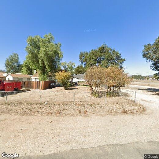
24737 Clay Ave
24737 Clay Ave
Murrieta, CA 92562
2 Weeks Ago
|
Edit
Favorites
24737 Clay Ave
Favorites
Check Back Soon for Upcoming Availability
| Beds | Baths | Average SF |
|---|---|---|
| 3 Bedrooms 3 Bedrooms 3 Br | 2 Baths 2 Baths 2 Ba | — |
24737 Clay Ave,
Murrieta,
CA
92562
Murrieta, located in southwestern Riverside County, combines suburban living with natural surroundings. The city maintains 52 parks and recreational areas, including community pools, disc golf courses, and equestrian facilities. One-bedroom apartments in Murrieta rent for $2,169 monthly, while two-bedroom units average $2,449. Established neighborhoods near downtown and along Interstate 15 offer diverse housing options from apartments to single-family rental homes.
The area's history stretches back to the Luiseño people, with the city later developing around its natural hot springs and the arrival of the Southern California Railroad in the 1800s. Today, residents have access to healthcare at Loma Linda University Medical Center and Rancho Springs Medical Center. The Mediterranean climate makes outdoor recreation possible throughout the year at locations like the Bear Creek Golf Club, an 18-hole championship course.
Learn more about living in Murrieta
Education
| Colleges & Universities | Distance | ||
|---|---|---|---|
| Colleges & Universities | Distance | ||
| Drive: | 17 min | 10.8 mi | |
| Drive: | 39 min | 26.6 mi | |
| Drive: | 45 min | 31.6 mi | |
| Drive: | 47 min | 35.3 mi |
24737 Clay Ave is within 17 minutes or 10.8 miles from Mt San Jacinto Coll., Menifee. It is also near Moreno Valley College and Mt San Jacinto Coll..
Walkability Near 24737 Clay Ave Murrieta, CA 92562
Getting Around
 What do Walkability, Transit, Drivability, and Bikeability mean?
Walkability measures the walking distance to day-to-day needs.
Transit measures access to public transportation.
Drivability measures congestion, parking availability, and access to major roads.
Bikeability measures the suitability for cycling.
How It Works
What do Walkability, Transit, Drivability, and Bikeability mean?
Walkability measures the walking distance to day-to-day needs.
Transit measures access to public transportation.
Drivability measures congestion, parking availability, and access to major roads.
Bikeability measures the suitability for cycling.
How It Works
Fairly Walkable
Walkability
40
/ 100
Minimal Public Transit
Transit
10
/ 100
Exceptionally Drivable
Drivability
90
/ 100
Fairly Bikeable
Bikeability
50
/ 100
Scores provided by
-
Soundscore™
-
/ 100
Traffic
-Airport
-Businesses
-Scores provided by
HowLoud What is a Sound Score Rating? A Sound Score Rating aggregates noise caused by vehicle traffic, airplane traffic and local sources. How It WorksYou May Also Like
Similar Rentals Nearby


What Are Walk Score®, Transit Score®, and Bike Score® Ratings?
Walk Score® measures the walkability of any address. Transit Score® measures access to public transit. Bike Score® measures the bikeability of any address.
What is a Sound Score Rating?
A Sound Score Rating aggregates noise caused by vehicle traffic, airplane traffic and local sources.

24737 Clay Ave
Murrieta, CA 92562