1 / 6


| Beds | Baths | Average SF |
|---|---|---|
| 5 Bedrooms 5 Bedrooms 5 Br | 4 Baths 4 Baths 4 Ba | — |
Carmel sits directly north of Indianapolis, operating more like a self-contained city than a typical suburb, with its own arts district, performing arts center, and a growing corridor of employers along the Meridian Street spine. The Palladium at the Center for the Performing Arts anchors a downtown that also includes the Arts and Design District, where galleries, boutiques, and restaurants line Main Street and Rangeline Road. The Monon Trail threads through the heart of the city, connecting Midtown Plaza, City Center, and a series of parks across more than 50 square miles. Neighborhoods range from the walkable, mixed-use energy of City Center and the Old Meridian District to quieter, tree-lined pockets in East Carmel near Hazel Dell and Brookshire. Carmel has constructed over 150 roundabouts since 1997, a deliberate infrastructure choice that keeps traffic moving and has become one of the city's most recognized characteristics.
Learn more about living in Carmel| Colleges & Universities | Distance | ||
|---|---|---|---|
| Colleges & Universities | Distance | ||
| Drive: | 25 min | 12.6 mi | |
| Drive: | 23 min | 13.0 mi | |
| Drive: | 26 min | 13.8 mi | |
| Drive: | 28 min | 14.6 mi |
Scores provided by
Traffic
-Airport
-Businesses
-Scores provided by
HowLoud What is a Sound Score Rating? A Sound Score Rating aggregates noise caused by vehicle traffic, airplane traffic and local sources. How It Works


What Are Walk Score®, Transit Score®, and Bike Score® Ratings?
Walk Score® measures the walkability of any address. Transit Score® measures access to public transit. Bike Score® measures the bikeability of any address.
What is a Sound Score Rating?
A Sound Score Rating aggregates noise caused by vehicle traffic, airplane traffic and local sources.
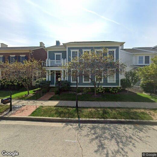
2449 Gwinnett St
Carmel, IN 46032

