

$2,800
/ Month
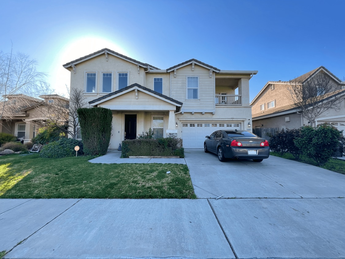
2440 Pso De Leon
Turlock, CA 95382
Favorites
-
Bedrooms
4
-
Bathrooms
2.5
-
Square Feet
2,784 sq ft
2440 Pso De Leon

Favorites
About This Home
$1,995 deposit
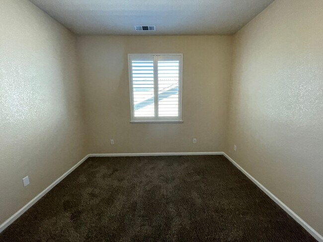
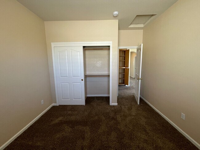
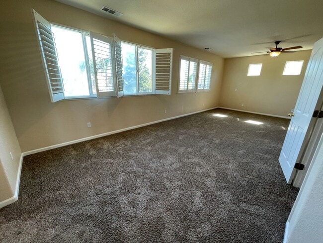
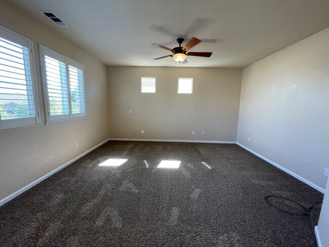
Located near CSU Stanislaus, approximately 2784 square feet with a family room, dining area, range, laundry hook-ups (220-V), central heat & air, garage. Close to schools, parks and shopping! Located Christoffersen Pkwy to N Kilroy Rd to Yolanda Ln to Paseo De Leon. Pets very strictly negotiable. Renter's Insurance Required.
2440 Pso De Leon is a house located in Stanislaus County and the 95382 ZIP Code.
* Price shown is base rent. Excludes user-selected optional fees and variable or usage-based fees and required charges due at or prior to move-in or at move-out. Price, availability, fees, and any applicable rent special are subject to change without notice.
* Square footage definitions vary. Displayed square footage is approximate.
Contact
- Listed by Countryside
Location
Get Directions
Chemurgic is a rural section of Stanislaus County on the outskirts of the city of Turlock. Friendly neighbors and country roads set the stage for a more laid-back lifestyle. Residents here enjoy wide open spaces, a quiet atmosphere, and seemingly endless outdoor surroundings. Many residents work in the farming industry, and there’s prominent agricultural chemical manufacturer that employs a large number of people in the area. The center of Turlock is just a few minutes away and provides everything from nice restaurants, artisan breweries, a first-class university, and all the stores needed for day-to-day living.
Learn more about living in Chemurgic
Education
| Colleges & Universities | Distance | ||
|---|---|---|---|
| Colleges & Universities | Distance | ||
| Drive: | 7 min | 2.5 mi | |
| Drive: | 19 min | 12.3 mi | |
| Drive: | 21 min | 14.4 mi | |
| Drive: | 45 min | 31.9 mi |
2440 Pso De Leon is within 7 minutes or 2.5 miles from Stanislaus State. It is also near Modesto Junior College, East and Modesto Junior College, West.
Getting Around
 What do Walkability, Transit, Drivability, and Bikeability mean?
Walkability measures the walking distance to day-to-day needs.
Transit measures access to public transportation.
Drivability measures congestion, parking availability, and access to major roads.
Bikeability measures the suitability for cycling.
How It Works
What do Walkability, Transit, Drivability, and Bikeability mean?
Walkability measures the walking distance to day-to-day needs.
Transit measures access to public transportation.
Drivability measures congestion, parking availability, and access to major roads.
Bikeability measures the suitability for cycling.
How It Works
Somewhat Walkable
Walkability
30
/ 100
Limited Public Transit
Transit
30
/ 100
Very Drivable
Drivability
80
/ 100
Fairly Bikeable
Bikeability
40
/ 100
Scores provided by
-
Soundscore™
-
/ 100
Traffic
-Airport
-Businesses
-Scores provided by
HowLoud What is a Sound Score Rating? A Sound Score Rating aggregates noise caused by vehicle traffic, airplane traffic and local sources. How It WorksYou May Also Like
Similar Rentals Nearby


What Are Walk Score®, Transit Score®, and Bike Score® Ratings?
Walk Score® measures the walkability of any address. Transit Score® measures access to public transit. Bike Score® measures the bikeability of any address.
What is a Sound Score Rating?
A Sound Score Rating aggregates noise caused by vehicle traffic, airplane traffic and local sources.
2440 Pso De Leon
Turlock, CA 95382