
$950 - $1,050 / Month
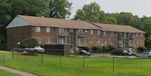
2431 Mustang Dr
Cincinnati, OH 45211
2 Weeks Ago
Favorites
-
Bedrooms
2
-
Bathrooms
1 - 2
-
Square Feet
800 sq ft
Highlight
- Pets Allowed
2431 Mustang Dr

Favorites
2 Available Units
15
$950
2 beds,
2 baths,
800 sq ft
12 Month Lease, $950 deposit,
Available Now
16
$1,050
2 beds,
1 bath,
800 sq ft
12 Month Lease, $1,050 deposit,
Available Now
* Price shown is base rent and may not include non-optional fees and utilities.
Price, availability, fees, and any applicable rent special are subject to change without notice.
* Square footage definitions vary. Displayed square footage is approximate.
About 2431 Mustang Dr Cincinnati, OH 45211
12 Month Lease,
$950 deposit
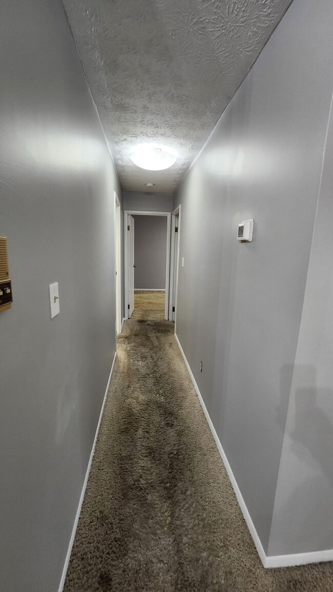
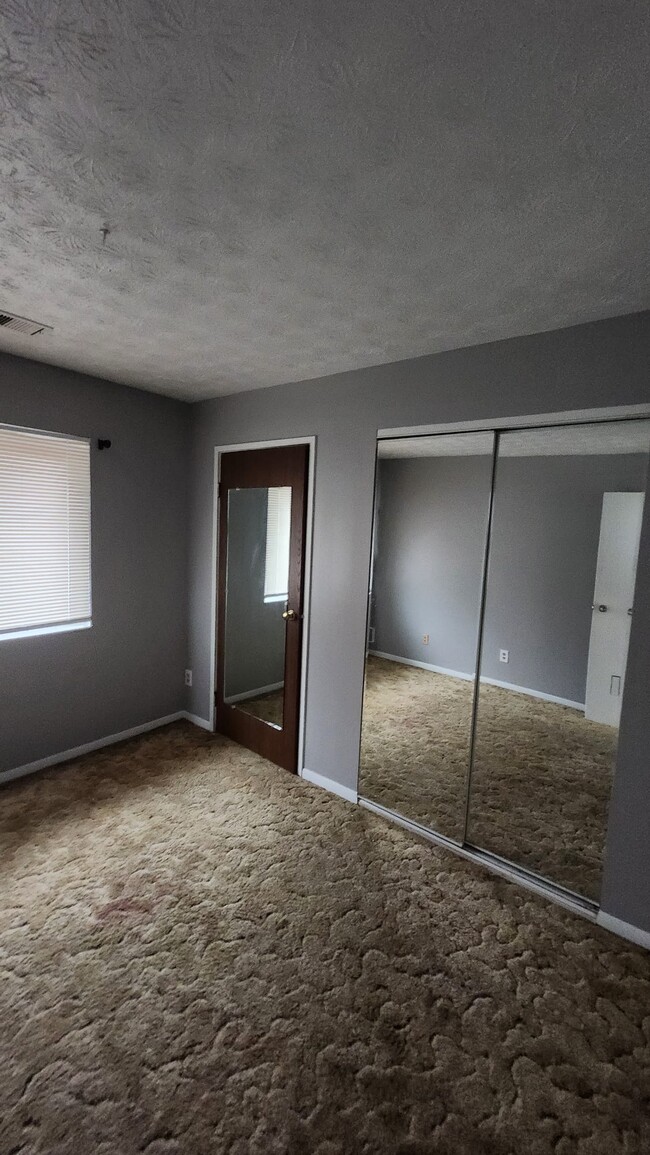
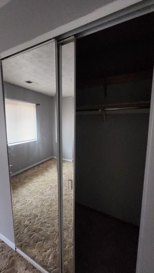
Explore the charm of this 2-bed, 2-bath, 800 sqft Section 8 accepted apartment at 2431 Mustang Dr, Westwood. Priced at $950, it's pet-friendly with a $50 monthly fee. Move in with $0 security deposit and Rhino insurance to reduce costs. Applicants need 3x rent income, a clean rental history, and no recent evictions or criminal records. Conveniently located 3.9 miles from Cincinnati State, with easy access to I-74 and I-75 for quick commutes. Enjoy nearby amenities like Mt. Airy Forest and proximity to military bases, including Gentile Air Force Station just 70 minutes away. Your ideal home in a prime location awaits!
2431 Mustang Dr is an apartment community located in Hamilton County and the 45211 ZIP Code.
* Price shown is base rent and may not include non-optional fees and utilities.
Price, availability, fees, and any applicable rent special are subject to change without notice.
* Square footage definitions vary. Displayed square footage is approximate.
Fees and Policies
The fees below are based on community-supplied data and may exclude additional fees and utilities.
- Dogs Allowed
-
Fees not specified
- Cats Allowed
-
Fees not specified
Details
Utilities Included
-
Water
-
Sewer
Property Information
-
16 units
Contact
- Listed by Blue Vista
Location
Get Directions
Situated about five miles northwest of Downtown Cincinnati, Westwood is the largest neighborhood in the city. Residents flock to Westwood for its many affordable historic homes and modern apartments available for rent in addition to its close proximity to I-74, I-75, and all that Downtown Cincinnati has to offer.
While Westwood is a predominantly residential neighborhood, it is also home to a slew of convenient stores and restaurants. Shopping opportunities abound in Westwood, with plenty of national retailers in Western Hills Plaza and local shops in the growing Town Hall District. Numerous neighborhood parks provide ample space to enjoy the outdoors in town as well as the sprawling 1,400-acre Mount Airy Forest, which is partially located in Westwood.
Learn more about living in Westwood
Education
| Colleges & Universities | Distance | ||
|---|---|---|---|
| Colleges & Universities | Distance | ||
| Drive: | 10 min | 3.9 mi | |
| Drive: | 10 min | 5.2 mi | |
| Drive: | 12 min | 5.7 mi | |
| Drive: | 16 min | 7.1 mi |
2431 Mustang Dr is within 10 minutes or 3.9 miles from Cincinnati State. It is also near University of Cincinnati and Univ. of Cincinnati, Medical.
Transportation options available in Cincinnati include Brewery District Station, Elm & Henry, located 6.0 miles from 2431 Mustang Dr. 2431 Mustang Dr is near Cincinnati/Northern Kentucky International, located 20.0 miles or 35 minutes away.
| Transit / Subway | Distance | ||
|---|---|---|---|
| Transit / Subway | Distance | ||
| Drive: | 11 min | 6.0 mi | |
| Drive: | 11 min | 6.0 mi | |
| Drive: | 11 min | 6.1 mi | |
| Drive: | 11 min | 6.2 mi | |
| Drive: | 12 min | 6.3 mi |
| Commuter Rail | Distance | ||
|---|---|---|---|
| Commuter Rail | Distance | ||
|
|
Drive: | 10 min | 5.9 mi |
| Airports | Distance | ||
|---|---|---|---|
| Airports | Distance | ||
|
Cincinnati/Northern Kentucky International
|
Drive: | 35 min | 20.0 mi |
Time and distance from 2431 Mustang Dr.
| Shopping Centers | Distance | ||
|---|---|---|---|
| Shopping Centers | Distance | ||
| Drive: | 8 min | 3.2 mi | |
| Drive: | 9 min | 3.4 mi | |
| Drive: | 7 min | 3.8 mi |
2431 Mustang Dr has 3 shopping centers within 3.8 miles, which is about a 7-minute drive. The miles and minutes will be for the farthest away property.
| Parks and Recreation | Distance | ||
|---|---|---|---|
| Parks and Recreation | Distance | ||
|
Mt. Airy Forest
|
Drive: | 5 min | 2.0 mi |
|
Buttercup Valley
|
Drive: | 7 min | 2.8 mi |
|
LaBoiteaux Woods
|
Drive: | 10 min | 4.0 mi |
|
Burnet Woods
|
Drive: | 10 min | 5.0 mi |
|
Trailside Nature Center
|
Drive: | 10 min | 5.2 mi |
2431 Mustang Dr has 5 parks within 5.2 miles, including Mt. Airy Forest, Buttercup Valley, and LaBoiteaux Woods.
| Hospitals | Distance | ||
|---|---|---|---|
| Hospitals | Distance | ||
| Drive: | 9 min | 3.9 mi | |
| Drive: | 9 min | 4.5 mi | |
| Drive: | 12 min | 5.7 mi |
2431 Mustang Dr has 3 hospitals within 5.7 miles, the nearest is Mercy Health - West Hospital which is 3.9 miles away and a 9 minute drive.
| Military Bases | Distance | ||
|---|---|---|---|
| Military Bases | Distance | ||
| Drive: | 70 min | 53.7 mi | |
| Drive: | 76 min | 58.7 mi | |
| Drive: | 78 min | 62.0 mi |
2431 Mustang Dr has 3 military bases within 62.0 miles, the nearest is Gentile Air Force Station which is 53.7 miles away and a 70 minute drive.
2431 Mustang Dr Photos
Which floor plans are available, and what are the price ranges?
2431 Mustang Dr Cincinnati, OH 45211 has two bedrooms available with rent ranges from $950/mo. to $1,050/mo.
Can I see a model or tour 2431 Mustang Dr Cincinnati, OH 45211?
Yes, to view the floor plan in person, please schedule a personal tour.
What neighborhood is the property located in?
2431 Mustang Dr Cincinnati, OH 45211 is in Westwood in the city of Cincinnati. Here you’ll find three shopping centers within 3.8 miles of the property. Five parks are within 5.2 miles, including Mt. Airy Forest, Buttercup Valley, and LaBoiteaux Woods.
What Are Walk Score®, Transit Score®, and Bike Score® Ratings?
Walk Score® measures the walkability of any address. Transit Score® measures access to public transit. Bike Score® measures the bikeability of any address.
What is a Sound Score Rating?
A Sound Score Rating aggregates noise caused by vehicle traffic, airplane traffic and local sources
2431 Mustang Dr
Cincinnati, OH 45211