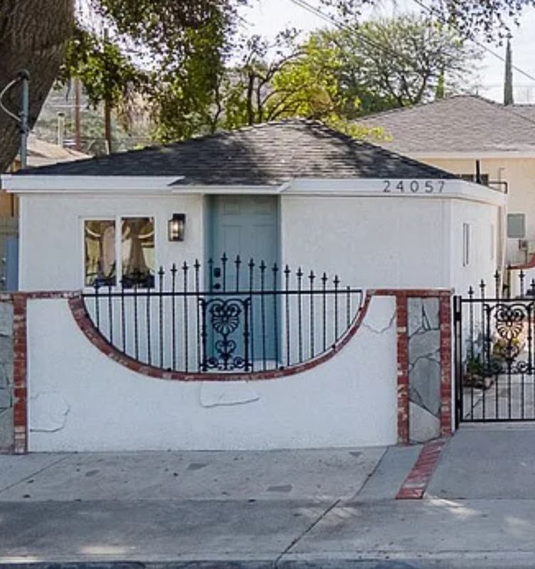

24057 Race St
Santa Clarita, CA 91321
-
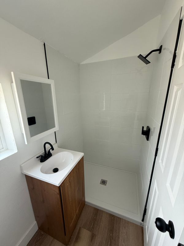
Bedrooms
Studio
-
Bathrooms
1
-
Square Feet
400 sq ft

About This Home
If you're looking for a safe studio to rent with a welcoming family, this is the place for you! The studio features a private entrance and a small outdoor space perfect for patio seating. We're seeking a responsible single person or couple. This is a smoke-free studio. Enjoy peace of mind—water and trash services are included in the rent. This pet-friendly unit is conveniently located near a popular restaurant, a department store, and Hart Park—ideal for outdoor relaxation. Don’t miss out on this opportunity—schedule your tour today!
24057 Race St is a house located in Los Angeles County and the 91321 ZIP Code. This area is served by the William S. Hart Union High School District attendance zone.
Fees and Policies
The fees listed below are community-provided and may exclude utilities or add-ons. All payments are made directly to the property and are non-refundable unless otherwise specified.
-
Other
Property Fee Disclaimer: Based on community-supplied data and independent market research. Subject to change without notice. May exclude fees for mandatory or optional services and usage-based utilities.
Details
Utilities Included
-
Water
-
Trash Removal
Lease Options
-
Lease Flexible
-
Short term lease
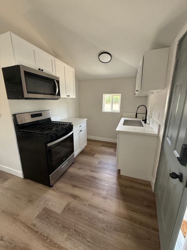
House Features
- Air Conditioning
- Microwave
- Refrigerator
Contact
- Website View Property Website
-
Source

Situated in Southern California, Santa Clarita Valley is an opulent suburb surrounded by nature preserves. The northern section of the region encompasses Castaic Lake State Recreation Park, while the eastern and western sides of the area are bordered by the Santa Clarita Woodlands Park and the Golden Valley Ranch Open Space. Also located in the valley are meandering trails that follow along the river and connect to scenic community parks. Located just 35 miles north of Los Angeles, Santa Clarita offers more than the great outdoors. Places like Six Flags Magic Mountain, sprawling golf courses, and premier shopping at plazas like Westfield Valencia Town Center are all located within Santa Clarita Valley. More shopping and retail centers can be found off Lyons Avenue and Soledad Canyon Road, while Main Street’s locally owned cafes, specialty shops, and restaurants provide a nice contrast to large commercial plazas.
Learn more about living in Santa Clarita Valley- Air Conditioning
- Microwave
- Refrigerator
| Colleges & Universities | Distance | ||
|---|---|---|---|
| Colleges & Universities | Distance | ||
| Drive: | 12 min | 5.5 mi | |
| Drive: | 15 min | 10.2 mi | |
| Drive: | 21 min | 11.5 mi | |
| Drive: | 32 min | 23.5 mi |


View GreatSchools Rating Methodology
Data provided by GreatSchools.org © 2026. All rights reserved.
Scores provided by
Traffic
ActiveAirport
CalmBusinesses
ActiveScores provided by
HowLoud What is a Sound Score Rating? A Sound Score Rating aggregates noise caused by vehicle traffic, airplane traffic and local sources. How It WorksYou May Also Like
What Are Walk Score®, Transit Score®, and Bike Score® Ratings?
Walk Score® measures the walkability of any address. Transit Score® measures access to public transit. Bike Score® measures the bikeability of any address.
What is a Sound Score Rating?
A Sound Score Rating aggregates noise caused by vehicle traffic, airplane traffic and local sources.
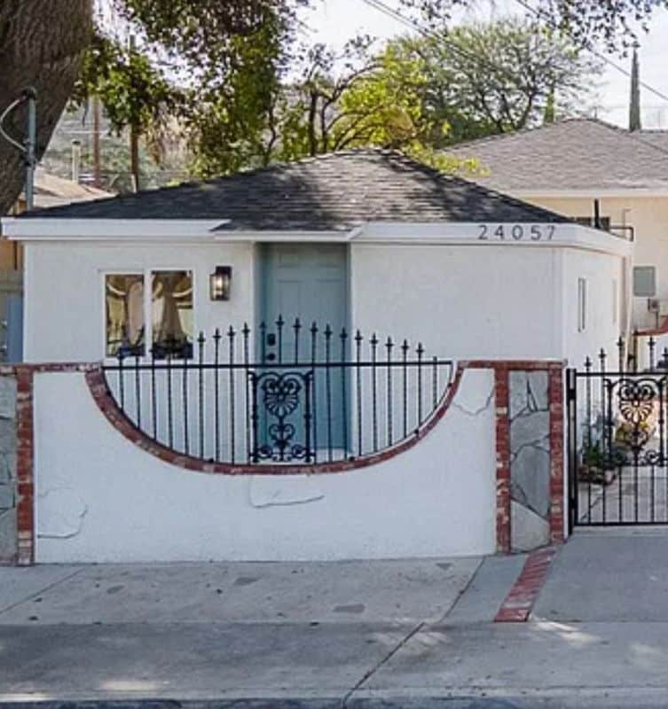
24057 Race St
Santa Clarita, CA 91321