
$1,350
Total Monthly Price
1 Month Lease
24 Ruggles St Unit 4
Westborough, MA 01581
Favorites
-
Bedrooms
1
-
Bathrooms
1
-
Square Feet
750 sq ft
-
Available
Available Jun 1
Highlights
- Walk-In Closets
- Smoke Free
24 Ruggles St Unit 4

Favorites
About This Home
1 Month Lease,
$1,350 deposit,
Available Jun 1
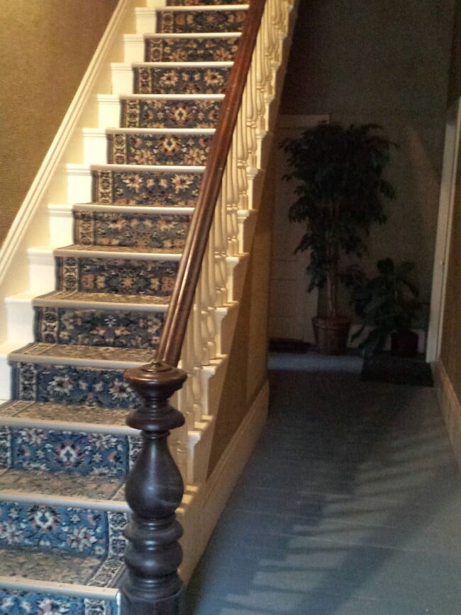
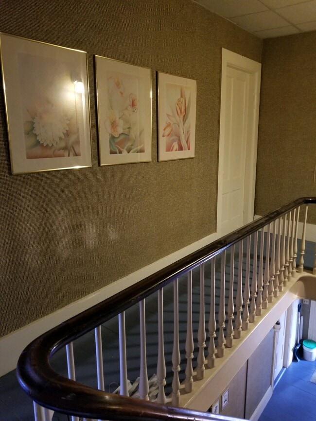
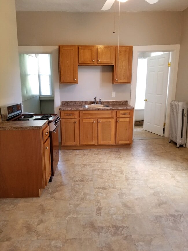
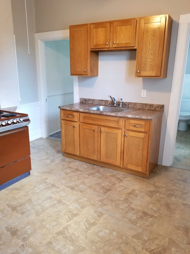
Westborough Quiet, sunny 3 large rooms 2nd floor. Charming country kitchen and bath. Plus large walk in closet. Economical gas heat. Excellent residential area close to center. No smoking or pets. References, credit 700 or better. 1st, last and security. $1350. Please include a full name and phone number for faster response.
Westborough Quiet, sunny 3 large rooms 2nd floor. Charming country kitchen and bath. Plus large walk in closet. Economical gas heat. Excellent residential area close to center. No smokering or pets. References, credit 700 or better. 1st, last and security. $1300. Please include a full name and phone number for faster response.
24 Ruggles St is an apartment community located in Worcester County and the 01581 ZIP Code.
* Price shown is total price based on community-supplied monthly required fees. Excludes user-selected optional fees and variable or usage-based fees and required charges due at or prior to move-in or at move-out. Price, availability, fees, and any applicable rent special are subject to change without notice.
* Square footage definitions vary. Displayed square footage is approximate.
Apartment Features
- Smoke Free
- Kitchen
- Walk-In Closets
Fees and Policies
The fees listed below are community-provided and may exclude utilities or add-ons. All payments are made directly to the property and are non-refundable unless otherwise specified.
- Parking
-
Surface Lot--
Details
Utilities Included
-
Water
-
Trash Removal
-
Sewer
Lease Options
-
12 Month
Contact
- Contact
Location
Get Directions
Situated just moments east of Worcester is the Route 9 Corridor, a large neighborhood compiled of several communities including Shrewsbury, Westborough, Northborough, and Southborough. Not only is Worcester at residents’ fingertips, but Downtown Boston is less than 40 miles east. The Route 9 Corridor is a commuter’s dream, offering easy city access and entry onto Interstates 290, 495, and 90.
The suburb is dotted with ponds, reservoirs, brooks, and rivers, providing ample outdoor recreation. Renters craving a beach day can bask on the sunny shores of Lake Chauncy Beach. Route 9 Corridor’s Prospect Park allows locals to take their dog for a stroll while Assabet Park gives children ample space to play on the playground. Those looking for winter recreation won’t want to miss the powdery slopes of Ski Ward Ski Area. No matter the season, renters settling in this diverse community can choose from gorgeous apartments ranging in price and amenities.
Learn more about living in Route 9 Corridor
Education
| Colleges & Universities | Distance | ||
|---|---|---|---|
| Colleges & Universities | Distance | ||
| Drive: | 9 min | 4.2 mi | |
| Drive: | 16 min | 8.8 mi | |
| Drive: | 19 min | 10.5 mi | |
| Drive: | 19 min | 10.7 mi |
24 Ruggles St Unit 4 is within 9 minutes or 4.2 miles from Tufts University, Grafton. It is also near Stillman College and Framingham State College.
Getting Around
 What do Walkability, Transit, Drivability, and Bikeability mean?
Walkability measures the walking distance to day-to-day needs.
Transit measures access to public transportation.
Drivability measures congestion, parking availability, and access to major roads.
Bikeability measures the suitability for cycling.
How It Works
What do Walkability, Transit, Drivability, and Bikeability mean?
Walkability measures the walking distance to day-to-day needs.
Transit measures access to public transportation.
Drivability measures congestion, parking availability, and access to major roads.
Bikeability measures the suitability for cycling.
How It Works
Fairly Walkable
Walkability
50
/ 100
Limited Public Transit
Transit
20
/ 100
Exceptionally Drivable
Drivability
90
/ 100
Fairly Bikeable
Bikeability
40
/ 100
Scores provided by
-
Soundscore™
-
/ 100
Traffic
-Airport
-Businesses
-Scores provided by
HowLoud What is a Sound Score Rating? A Sound Score Rating aggregates noise caused by vehicle traffic, airplane traffic and local sources. How It Works
Amenities
- Smoke Free
- Kitchen
- Walk-In Closets
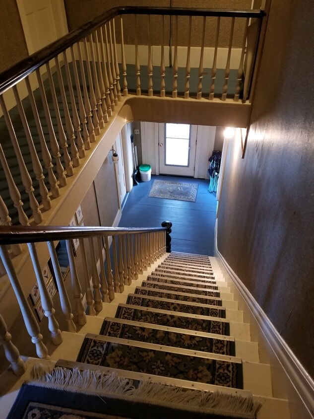
24 Ruggles St Unit 4 Photos
What Are Walk Score®, Transit Score®, and Bike Score® Ratings?
Walk Score® measures the walkability of any address. Transit Score® measures access to public transit. Bike Score® measures the bikeability of any address.
What is a Sound Score Rating?
A Sound Score Rating aggregates noise caused by vehicle traffic, airplane traffic and local sources.
24 Ruggles St
Westborough, MA 01581