
$3,200 / Month
2348 Highland Ave
Cincinnati, OH 45219
Today
Favorites
463-209-8565
-
Bedrooms
5
-
Bathrooms
2
-
Square Feet
1,637 sq ft
-
Available
Available Aug 1
Highlights
- Pets Allowed
- Furnished
2348 Highland Ave

Favorites
About This Home
12 Month Lease,
$3,200 deposit,
Available Aug 1
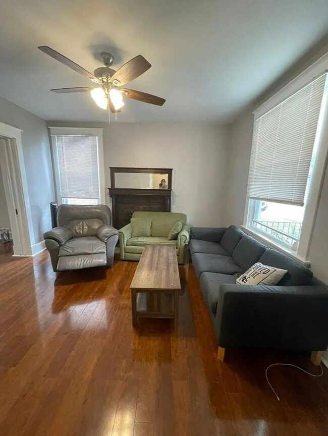
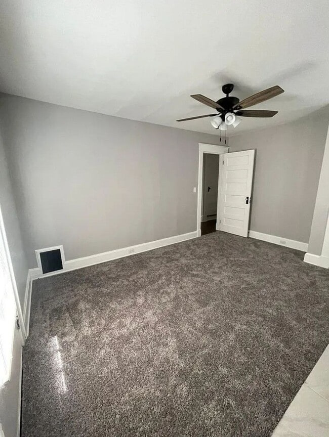
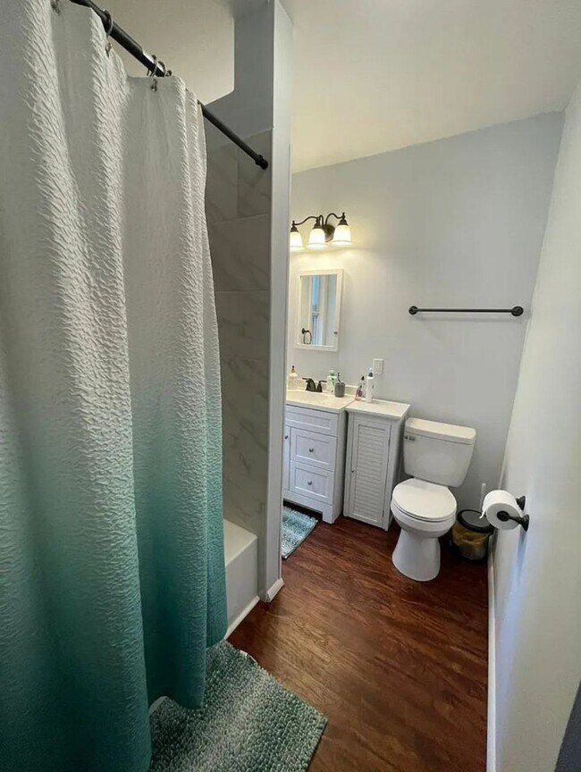
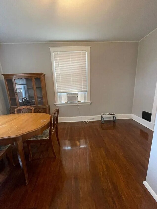
It is a 5 bed 1.5 bathroom furnished common spaces and 3 rooms with furniture. The appliances are new. There is in unit washer and dryer and an off street parking spot. The backyard is fenced. Its walking distance to the OTR, University of Cincinnati. Conveniently located for easy and quick access to the highway and downtown.
2348 Highland Ave is a house located in Hamilton County and the 45219 ZIP Code.
* Price shown is base rent and may not include non-optional fees and utilities.
Price, availability, fees, and any applicable rent special are subject to change without notice.
* Square footage definitions vary. Displayed square footage is approximate.
House Features
Washer/Dryer
Ceiling Fans
Furnished
Heating
- Washer/Dryer
- Heating
- Ceiling Fans
- Storage Space
- Framed Mirrors
- Furnished
- Furnished Units Available
Fees and Policies
The fees below are based on community-supplied data and may exclude additional fees and utilities.
- Dogs Allowed
-
Fees not specified
- Cats Allowed
-
Fees not specified
- Parking
-
Street--
Details
Utilities Included
-
Gas
-
Water
-
Electricity
-
Heat
-
Cable
Property Information
-
Furnished Units Available
Contact
- Phone Number
- Contact
Location
Get Directions
The Cincinnati neighborhood of Mount Auburn sits north of downtown and west of Interstate 71. The neighborhood, originally a hilltop escape from the crowded conditions of lower Downtown Cincinnati, gained national recognition as a historic district in 1973. The well-known community contains beautiful mansions dating back to 1819, including the home of former President William Howard Taft.
The community contains beautiful mansions formerly owned by a host of prominent residents. A number of historic buildings and sites dot the area, including the Mount Auburn Young Ladies Institute. The neighborhood also features the beloved ice cream parlor Graeter's Confectionary, as well as Christ Hospital.
Learn more about living in Mount Auburn
Education
| Colleges & Universities | Distance | ||
|---|---|---|---|
| Colleges & Universities | Distance | ||
| Drive: | 3 min | 1.1 mi | |
| Drive: | 3 min | 1.3 mi | |
| Drive: | 8 min | 2.8 mi | |
| Drive: | 11 min | 4.0 mi |
2348 Highland Ave is within 3 minutes or 1.3 miles from University of Cincinnati. It is also near Univ. of Cincinnati, Medical and Xavier University.
Transportation options available in Cincinnati include Findlay Market-Race Station, Race & Elder, located 1.4 miles from 2348 Highland Ave. 2348 Highland Ave is near Cincinnati/Northern Kentucky International, located 16.2 miles or 30 minutes away.
| Transit / Subway | Distance | ||
|---|---|---|---|
| Transit / Subway | Distance | ||
| Drive: | 4 min | 1.4 mi | |
| Drive: | 4 min | 1.5 mi | |
| Drive: | 4 min | 1.5 mi | |
| Drive: | 5 min | 1.5 mi | |
| Drive: | 5 min | 1.8 mi |
| Commuter Rail | Distance | ||
|---|---|---|---|
| Commuter Rail | Distance | ||
|
|
Drive: | 9 min | 4.1 mi |
| Airports | Distance | ||
|---|---|---|---|
| Airports | Distance | ||
|
Cincinnati/Northern Kentucky International
|
Drive: | 30 min | 16.2 mi |
Time and distance from 2348 Highland Ave.
| Shopping Centers | Distance | ||
|---|---|---|---|
| Shopping Centers | Distance | ||
| Drive: | 6 min | 2.1 mi | |
| Drive: | 6 min | 2.2 mi | |
| Drive: | 6 min | 2.6 mi |
2348 Highland Ave has 3 shopping centers within 2.6 miles, which is about a 6-minute drive. The miles and minutes will be for the farthest away property.
| Parks and Recreation | Distance | ||
|---|---|---|---|
| Parks and Recreation | Distance | ||
|
William H. Taft National Historic Site
|
Walk: | 12 min | 0.7 mi |
|
Krohn Conservatory
|
Drive: | 3 min | 1.4 mi |
|
Cincinnati Zoo and Botanical Garden
|
Drive: | 4 min | 1.6 mi |
|
Eden Park
|
Drive: | 4 min | 1.6 mi |
|
Trailside Nature Center
|
Drive: | 4 min | 1.6 mi |
2348 Highland Ave has 5 parks within 1.6 miles, including William H. Taft National Historic Site, Eden Park, and Krohn Conservatory.
| Hospitals | Distance | ||
|---|---|---|---|
| Hospitals | Distance | ||
| Walk: | 9 min | 0.5 mi | |
| Walk: | 16 min | 0.9 mi | |
| Walk: | 19 min | 1.0 mi |
2348 Highland Ave has 3 hospitals within 1.0 mile, the nearest is Christ Hospital which is 0.5 mile away and a 9 minute walk.
| Military Bases | Distance | ||
|---|---|---|---|
| Military Bases | Distance | ||
| Drive: | 71 min | 52.0 mi | |
| Drive: | 77 min | 57.1 mi | |
| Drive: | 79 min | 60.3 mi |
2348 Highland Ave has 3 military bases within 60.3 miles, the nearest is Gentile Air Force Station which is 52.0 miles away and a 71 minute drive.
Amenities
- Washer/Dryer
- Heating
- Ceiling Fans
- Storage Space
- Framed Mirrors
- Furnished
- Furnished Units Available
2348 Highland Ave Photos
What Are Walk Score®, Transit Score®, and Bike Score® Ratings?
Walk Score® measures the walkability of any address. Transit Score® measures access to public transit. Bike Score® measures the bikeability of any address.
What is a Sound Score Rating?
A Sound Score Rating aggregates noise caused by vehicle traffic, airplane traffic and local sources
2348 Highland Ave
Cincinnati, OH 45219