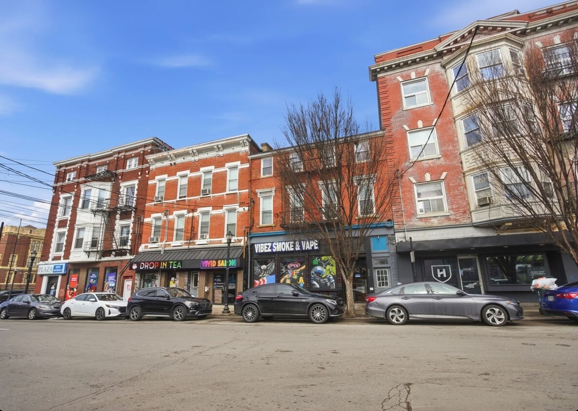

228 W McMillan St Unit 1
Cincinnati, OH 45219
-
Bedrooms
4
-
Bathrooms
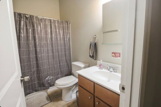
2
-
Square Feet
--
-
Available
Available Aug 1

About This Home
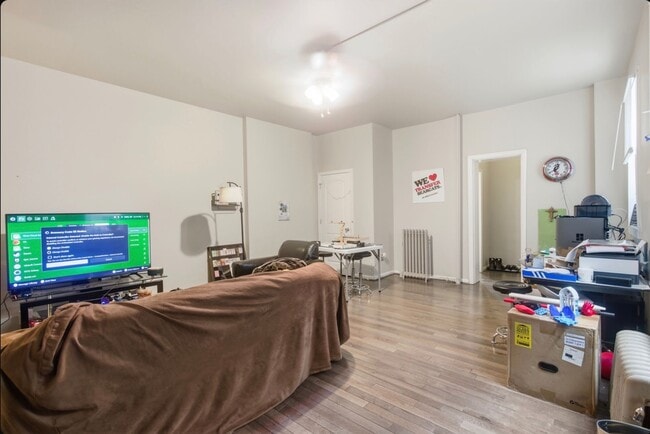
Conveniently located 4 bedroom/2bath next to campus and the popular shops, restaurants, and entertainment. The unit has plenty of space to accommodate 4 tenants plus more with 2 common areas! Updated kitchen with laundry in the unit as well. Sign a lease in next 30 days and qualify for half-off the security deposit.Contact us to schedule a showing or for any questions.
228 W McMillan St is an apartment community located in Hamilton County and the 45219 ZIP Code.
Contact
- Phone Number
- Contact
-
Source

In Clifton there’s plenty to do and see. The rolling hills, lush parks and green spaces, hip shopping, and affordable apartments create a vibrancy in Clifton that can’t be ignored.
In addition to its active art scene, the neighborhood is encompassing of Mount Storm Park, Edgewood Grove Park, and the Cincinnati State Technical and Community College. Locals enjoy the direct access to Interstate 75, making commutes in and around the city a breeze.
Clifton is just north of the 90-acre Burnet Woods Park and the University of Cincinnati campus. When you have a craving for something sweet or savory, head on over to the Clifton Gaslight District for every kind of cuisine imaginable. Clifton sits atop a hill overlooking the Northside, and Ludlow Avenue has been dubbed Cincinnati’s first “Main Street.
Learn more about living in Clifton| Colleges & Universities | Distance | ||
|---|---|---|---|
| Colleges & Universities | Distance | ||
| Drive: | 3 min | 1.2 mi | |
| Drive: | 4 min | 1.5 mi | |
| Drive: | 8 min | 2.9 mi | |
| Drive: | 10 min | 3.6 mi |
Transportation options available in Cincinnati include Findlay Market-Race Station - Race & Elder, located 1.0 mile from 228 W McMillan St Unit 1. 228 W McMillan St Unit 1 is near Cincinnati/Northern Kentucky International, located 16.1 miles or 31 minutes away.
| Transit / Subway | Distance | ||
|---|---|---|---|
| Transit / Subway | Distance | ||
| Walk: | 19 min | 1.0 mi | |
| Drive: | 3 min | 1.2 mi | |
| Drive: | 3 min | 1.2 mi | |
| Drive: | 3 min | 1.3 mi | |
| Drive: | 4 min | 1.6 mi |
| Commuter Rail | Distance | ||
|---|---|---|---|
| Commuter Rail | Distance | ||
|
|
Drive: | 7 min | 2.3 mi |
| Airports | Distance | ||
|---|---|---|---|
| Airports | Distance | ||
|
Cincinnati/Northern Kentucky International
|
Drive: | 31 min | 16.1 mi |
Scores provided by
Traffic
BusyAirport
CalmBusinesses
ActiveScores provided by
HowLoud What is a Sound Score Rating? A Sound Score Rating aggregates noise caused by vehicle traffic, airplane traffic and local sources. How It WorksTime and distance from 228 W McMillan St Unit 1.
| Shopping Centers | Distance | ||
|---|---|---|---|
| Shopping Centers | Distance | ||
| Drive: | 4 min | 1.6 mi | |
| Drive: | 5 min | 1.9 mi | |
| Drive: | 6 min | 2.1 mi |
| Parks and Recreation | Distance | ||
|---|---|---|---|
| Parks and Recreation | Distance | ||
|
Trailside Nature Center
|
Drive: | 3 min | 1.1 mi |
|
William H. Taft National Historic Site
|
Drive: | 3 min | 1.2 mi |
|
Burnet Woods
|
Drive: | 4 min | 1.5 mi |
|
Cincinnati Zoo and Botanical Garden
|
Drive: | 3 min | 1.5 mi |
|
Duke Energy Children's Museum
|
Drive: | 7 min | 2.3 mi |
| Hospitals | Distance | ||
|---|---|---|---|
| Hospitals | Distance | ||
| Walk: | 19 min | 1.0 mi | |
| Drive: | 3 min | 1.2 mi | |
| Drive: | 4 min | 1.6 mi |
| Military Bases | Distance | ||
|---|---|---|---|
| Military Bases | Distance | ||
| Drive: | 70 min | 52.3 mi | |
| Drive: | 76 min | 57.4 mi | |
| Drive: | 79 min | 60.7 mi |
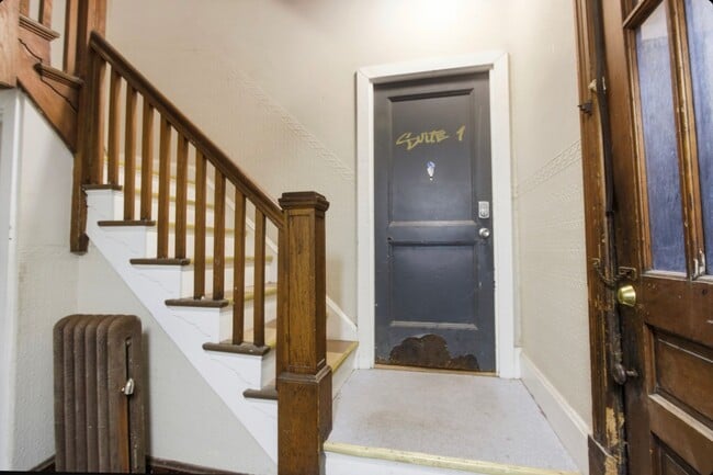
228 W McMillan St Unit 1 Photos
Nearby Apartments
Within 50 Miles of 228 W McMillan St Cincinnati, OH 45219
-
Yugo Cincinnati Deacon
424 Straight St
Cincinnati, OH 45219
$1,004 - $1,304
4 Br 0.2 mi
-
65 West Apartments
65 W McMillan St
Cincinnati, OH 45219
$3,384
4 Br 0.3 mi
-
The Point Cincinnati
47 William Howard Taft Rd
Cincinnati, OH 45219
$899 - $999
4 Br 0.6 mi
-
The Arc
2443 Auburn Ave
Cincinnati, OH 45219
$900 - $1,049
4 Br 0.6 mi
-
VP3
30 E Corry St
Cincinnati, OH 45219
$3,884 - $4,184
4 Br 0.6 mi
-
Union on Taft
237 William Howard Taft Rd
Cincinnati, OH 45219
$2,600 - $3,400
4 Br 0.9 mi
What Are Walk Score®, Transit Score®, and Bike Score® Ratings?
Walk Score® measures the walkability of any address. Transit Score® measures access to public transit. Bike Score® measures the bikeability of any address.
What is a Sound Score Rating?
A Sound Score Rating aggregates noise caused by vehicle traffic, airplane traffic and local sources.

228 W McMillan St
Cincinnati, OH 45219