2241 Burnet Ave Unit 1
Cincinnati, OH 45219
-
Bedrooms
2
-
Bathrooms
1
-
Square Feet
--
-
Available
Available May 26

About This Home
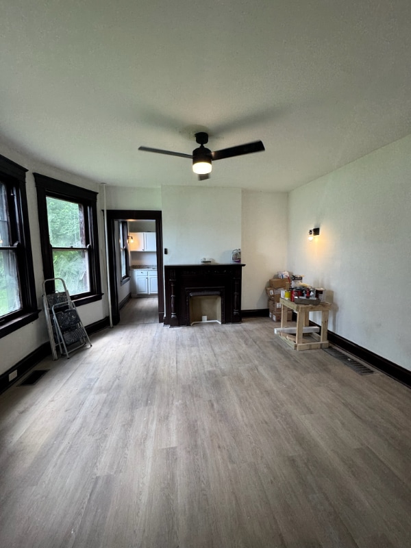
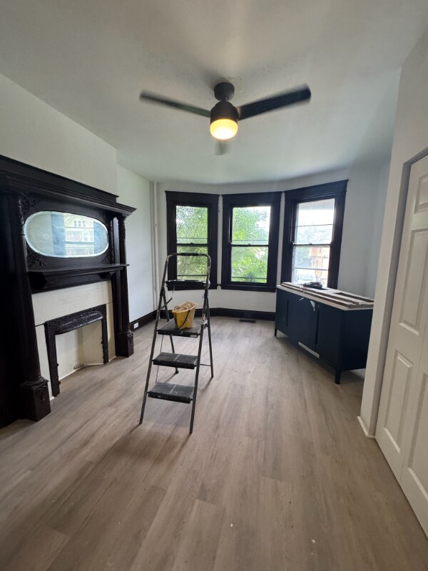
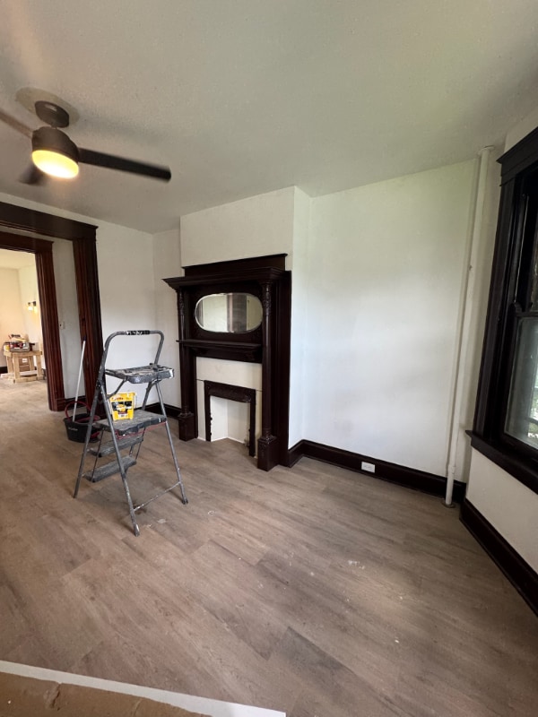
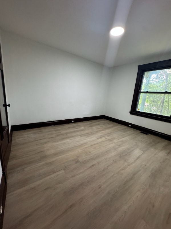
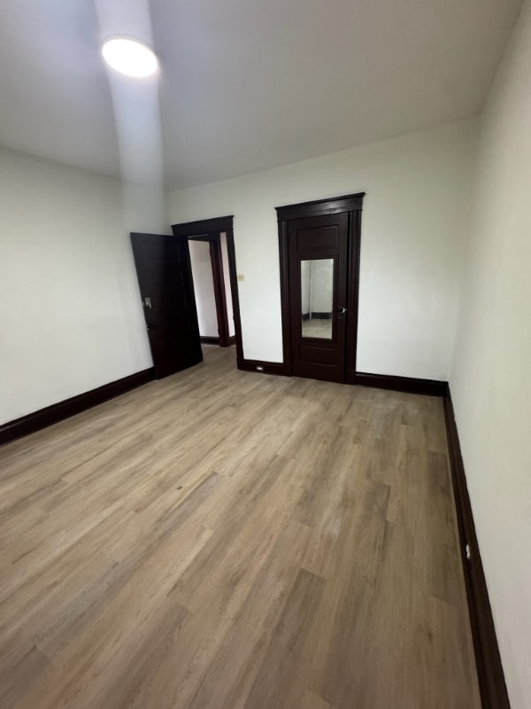
Property Id: 1929622 Ready to go HUGE rooms, gorgeous property close to UC and Xavier. No utilities are included they will be separated by RUBS method.
2241 Burnet Ave is an apartment community located in Hamilton County and the 45219 ZIP Code.
Features
- Oven
- Refrigerator
Fees and Policies
The fees below are based on community-supplied data and may exclude additional fees and utilities.
Contact
- Phone Number
- Contact
-
Source

- Oven
- Refrigerator
The Cincinnati neighborhood of Mount Auburn sits north of downtown and west of Interstate 71. The neighborhood, originally a hilltop escape from the crowded conditions of lower Downtown Cincinnati, gained national recognition as a historic district in 1973. The well-known community contains beautiful mansions dating back to 1819, including the home of former President William Howard Taft.
The community contains beautiful mansions formerly owned by a host of prominent residents. A number of historic buildings and sites dot the area, including the Mount Auburn Young Ladies Institute. The neighborhood also features the beloved ice cream parlor Graeter's Confectionary, as well as Christ Hospital.
Learn more about living in Mount Auburn| Colleges & Universities | Distance | ||
|---|---|---|---|
| Colleges & Universities | Distance | ||
| Drive: | 4 min | 1.3 mi | |
| Drive: | 4 min | 1.5 mi | |
| Drive: | 8 min | 2.9 mi | |
| Drive: | 12 min | 4.1 mi |
Transportation options available in Cincinnati include Race & Liberty Station, located 1.4 miles from 2241 Burnet Ave Unit 1. 2241 Burnet Ave Unit 1 is near Cincinnati/Northern Kentucky International, located 16.0 miles or 29 minutes away.
| Transit / Subway | Distance | ||
|---|---|---|---|
| Transit / Subway | Distance | ||
| Drive: | 4 min | 1.4 mi | |
| Drive: | 3 min | 1.5 mi | |
| Drive: | 5 min | 1.6 mi | |
| Drive: | 5 min | 1.7 mi | |
| Drive: | 5 min | 1.7 mi |
| Commuter Rail | Distance | ||
|---|---|---|---|
| Commuter Rail | Distance | ||
|
|
Drive: | 8 min | 4.0 mi |
| Airports | Distance | ||
|---|---|---|---|
| Airports | Distance | ||
|
Cincinnati/Northern Kentucky International
|
Drive: | 29 min | 16.0 mi |
Time and distance from 2241 Burnet Ave Unit 1.
| Shopping Centers | Distance | ||
|---|---|---|---|
| Shopping Centers | Distance | ||
| Drive: | 6 min | 2.1 mi | |
| Drive: | 6 min | 2.1 mi | |
| Drive: | 5 min | 2.9 mi |
| Parks and Recreation | Distance | ||
|---|---|---|---|
| Parks and Recreation | Distance | ||
|
William H. Taft National Historic Site
|
Walk: | 11 min | 0.6 mi |
|
Krohn Conservatory
|
Drive: | 3 min | 1.3 mi |
|
Eden Park
|
Drive: | 4 min | 1.5 mi |
|
Trailside Nature Center
|
Drive: | 5 min | 1.8 mi |
|
Theodore M. Berry Friendship Park
|
Drive: | 6 min | 2.5 mi |
| Hospitals | Distance | ||
|---|---|---|---|
| Hospitals | Distance | ||
| Walk: | 9 min | 0.5 mi | |
| Walk: | 20 min | 1.1 mi | |
| Drive: | 3 min | 1.1 mi |
| Military Bases | Distance | ||
|---|---|---|---|
| Military Bases | Distance | ||
| Drive: | 71 min | 52.1 mi | |
| Drive: | 77 min | 57.2 mi | |
| Drive: | 79 min | 60.5 mi |
You May Also Like
What Are Walk Score®, Transit Score®, and Bike Score® Ratings?
Walk Score® measures the walkability of any address. Transit Score® measures access to public transit. Bike Score® measures the bikeability of any address.
What is a Sound Score Rating?
A Sound Score Rating aggregates noise caused by vehicle traffic, airplane traffic and local sources

2241 Burnet Ave
Cincinnati, OH 45219