$2,800 / Month
2230 Gellert Blvd Unit 3307
South San Francisco, CA 94080
2 Weeks Ago
Favorites
2230 Gellert Blvd Unit 3307

Favorites
Check Back Soon for Upcoming Availability
| Beds | Baths | Average SF |
|---|---|---|
| 1 Bedroom 1 Bedroom 1 Br | 1 Bath 1 Bath 1 Ba | 828 SF |
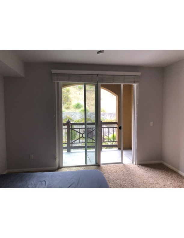
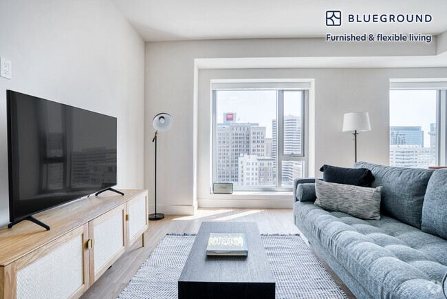
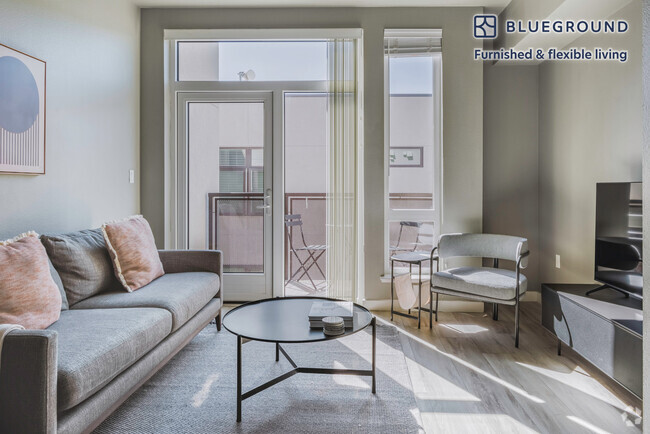
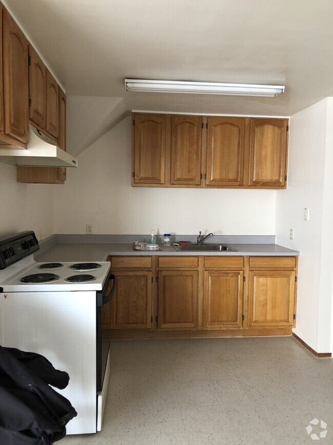
About This Property
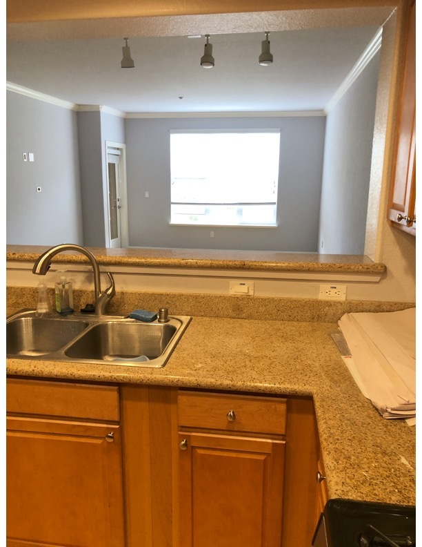
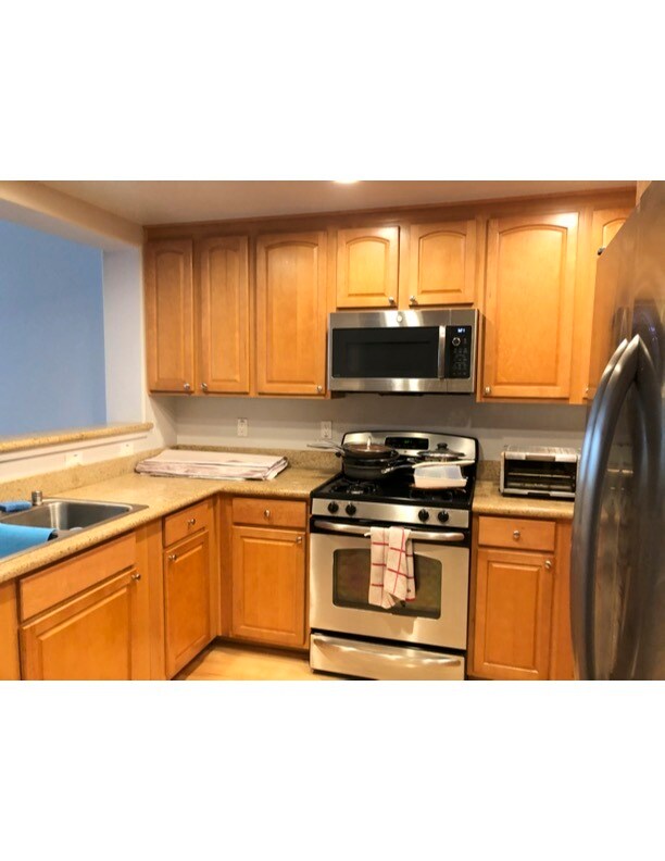
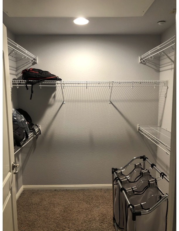
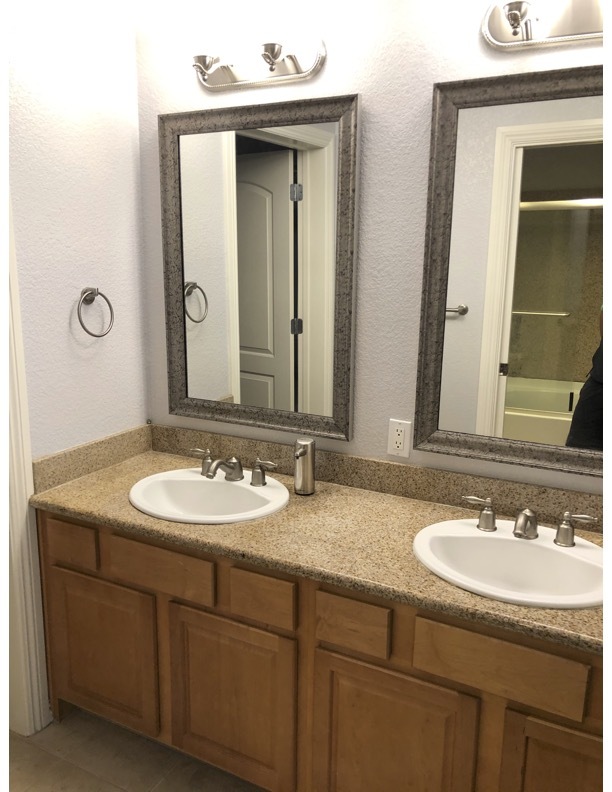
Spacious 828 sq ft 1 bedroom 1 bath available for rent at South City Lights! Conviently located just off 280 freeway and Westborough Blvd. with easy access to San Francisco, SFSU, San Mateo, Palo Alto, Pacifica, SFO, Hospitals and more. Close to Safeway, restaurants, beaches, parks, shopping malls, schools and colleges. Award winning gorgeous development with security, landscaping, shuttle transport to BART, a gym and community room all included. Please text Hank @ to schedule viewing or for more details.
2230 Gellert Blvd is a condo located in San Mateo County and the 94080 ZIP Code. This area is served by the South San Francisco Unified attendance zone.
Condo Features
- Washer/Dryer
- Washer/Dryer Hookup
- Dishwasher
Fees and Policies

2230 Gellert
288 Units
4 Stories
Built in 2007
436,724 Sq Ft
2230 Gellert Boulevard, also known as South City Lights, is a contemporary condominium complex in the heart of South San Francisco's Westborough neighborhood. Completed in 2007, this four-story building houses 288 units, offering residents a blend of suburban tranquility and urban convenience. The development stands as a testament to modern living, with its stucco exterior and clay tile roofing complementing the surrounding landscape. South City Lights provides a comfortable haven for those seeking a balance between city accessibility and a quieter suburban lifestyle.
Learn more about 2230 Gellert
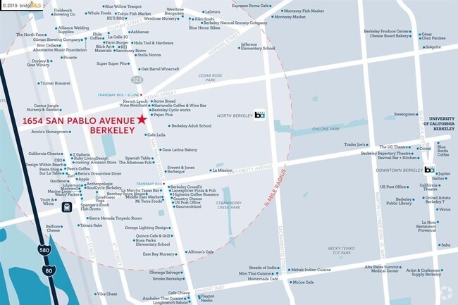
Location
Get Directions
Folks in South San Francisco have easy access to The City via I-280, the 101, or BART rail service. This fact, coupled with the much lower crime rate and the area’s many excellent schools, makes South San Francisco apartments an appealing option for commuters, particularly those raising families.
Although primarily a residential community, South San Francisco does have a fairly active downtown scene, with much of the dining and entertainment centered around the intersection of Grande Avenue and Linden Avenue and shopping centers on the south side of town.
Many parks and nature preserves are scattered around the area, including the huge Sweeney Ridge and Fairway Park just to the west of the city limits. San Francisco International Airport sits directly south of town, making it highly convenient to travel anywhere.
Learn more about living in South San FranciscoBelow are rent ranges for similar nearby apartments
Amenities
- Washer/Dryer
- Washer/Dryer Hookup
- Dishwasher
Education
| Colleges & Universities | Distance | ||
|---|---|---|---|
| Colleges & Universities | Distance | ||
| Drive: | 6 min | 2.7 mi | |
| Drive: | 12 min | 7.3 mi | |
| Drive: | 12 min | 7.7 mi | |
| Drive: | 18 min | 9.9 mi |
2230 Gellert Blvd Unit 3307 is within 6 minutes or 2.7 miles from Skyline College. It is also near City College of San Francisco and San Francisco State University.
Schools


Public Elementary School
Grades K-5
394 Students
Nearby
Public Elementary School
Grades K-5
531 Students
Attendance Zone
Public Middle School
Grades 6-8
491 Students
Attendance Zone
Public High School
Grades 9-12
1,280 Students
Attendance Zone
Private Elementary, Middle & High School
Grades 1-12
17 Students
Nearby
Private Elementary & Middle School
Grades PK-8
586 Students
Nearby
Private Elementary & Middle School
Grades K-8
266 Students
Nearby
School data provided by
 The GreatSchools Rating helps parents compare schools within a state based on a variety of school quality indicators and provides a helpful picture of how effectively each school serves all of its students. Ratings are on a scale of 1 (below average) to 10 (above average) and can include test scores, college readiness, academic progress, advanced courses, equity, discipline and attendance data. We also advise parents to visit schools, consider other information on school performance and programs, and consider family needs as part of the school selection process.
View GreatSchools Rating Methodology
View GreatSchools Rating Methodology
Transportation options available in South San Francisco include South San Francisco Station, located 2.7 miles from 2230 Gellert Blvd Unit 3307. 2230 Gellert Blvd Unit 3307 is near San Francisco International, located 6.1 miles or 12 minutes away, and Metro Oakland International, located 32.3 miles or 45 minutes away.
| Transit / Subway | Distance | ||
|---|---|---|---|
| Transit / Subway | Distance | ||
|
|
Drive: | 6 min | 2.7 mi |
|
|
Drive: | 7 min | 3.4 mi |
|
|
Drive: | 6 min | 3.4 mi |
| Drive: | 8 min | 4.4 mi | |
|
|
Drive: | 8 min | 4.9 mi |
| Commuter Rail | Distance | ||
|---|---|---|---|
| Commuter Rail | Distance | ||
| Drive: | 6 min | 3.5 mi | |
| Drive: | 8 min | 4.0 mi | |
| Drive: | 12 min | 7.0 mi | |
| Drive: | 13 min | 8.0 mi | |
| Drive: | 15 min | 8.4 mi |
| Airports | Distance | ||
|---|---|---|---|
| Airports | Distance | ||
|
San Francisco International
|
Drive: | 12 min | 6.1 mi |
|
Metro Oakland International
|
Drive: | 45 min | 32.3 mi |
Time and distance from 2230 Gellert Blvd Unit 3307.
| Shopping Centers | Distance | ||
|---|---|---|---|
| Shopping Centers | Distance | ||
| Walk: | 3 min | 0.2 mi | |
| Walk: | 6 min | 0.3 mi | |
| Walk: | 7 min | 0.4 mi |
2230 Gellert Blvd Unit 3307 has 3 shopping centers within 0.4 mile, which is about a 7-minute walk. The miles and minutes will be for the farthest away property.
| Parks and Recreation | Distance | ||
|---|---|---|---|
| Parks and Recreation | Distance | ||
|
Pacifica State Beach
|
Drive: | 10 min | 5.6 mi |
|
San Bruno Mountain State Park
|
Drive: | 18 min | 7.6 mi |
|
San Pedro Valley Park
|
Drive: | 17 min | 7.9 mi |
|
Charles F. Hagar Planetarium
|
Drive: | 14 min | 8.0 mi |
|
San Francisco State Univ. Observatory
|
Drive: | 14 min | 8.0 mi |
2230 Gellert Blvd Unit 3307 has 5 parks within 8.0 miles, including San Bruno Mountain State Park, Pacifica State Beach, and Charles F. Hagar Planetarium.
| Hospitals | Distance | ||
|---|---|---|---|
| Hospitals | Distance | ||
| Drive: | 4 min | 2.1 mi | |
| Drive: | 6 min | 3.1 mi | |
| Drive: | 11 min | 6.5 mi |
2230 Gellert Blvd Unit 3307 has 3 hospitals within 6.5 miles, the nearest is Kaiser Foundation Hospital - South San Francisco which is 2.1 miles away and a 4 minute drive.
| Military Bases | Distance | ||
|---|---|---|---|
| Military Bases | Distance | ||
| Drive: | 25 min | 12.0 mi | |
| Drive: | 25 min | 12.2 mi |
2230 Gellert Blvd Unit 3307 is 12.0 miles from East Fort Miley, and is convenient to other military bases, including West Fort Miley.
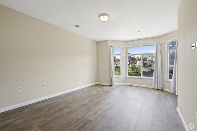
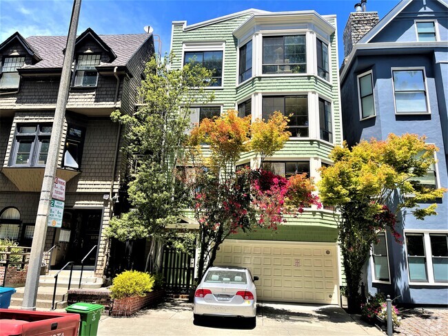
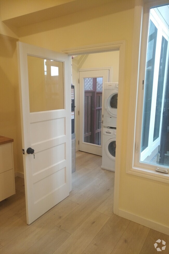
You May Also Like
Similar Rentals Nearby

What Are Walk Score®, Transit Score®, and Bike Score® Ratings?
Walk Score® measures the walkability of any address. Transit Score® measures access to public transit. Bike Score® measures the bikeability of any address.
What is a Sound Score Rating?
A Sound Score Rating aggregates noise caused by vehicle traffic, airplane traffic and local sources

2230 Gellert Blvd
South San Francisco, CA 94080