
$725
/ Month
223 High St Unit #3
Somersworth, NH 03878
2 Weeks Ago
|
Edit
Favorites
223 High St Unit #3

Favorites
Check Back Soon for Upcoming Availability
| Beds | Baths | Average SF |
|---|---|---|
| Studio Studio 0 Br | 1 Bath 1 Bath 1 Ba | — |
About This Property
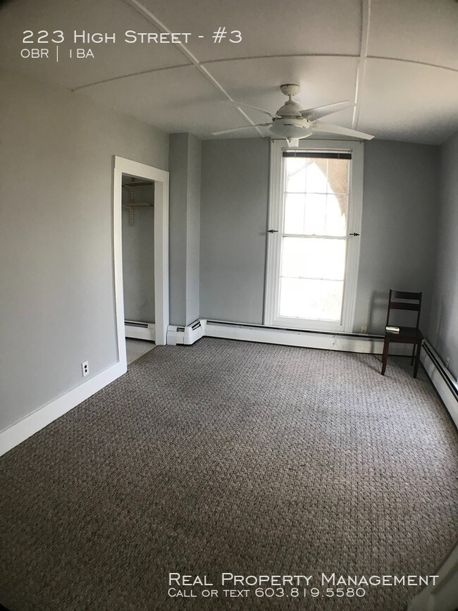
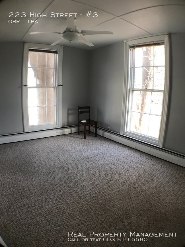
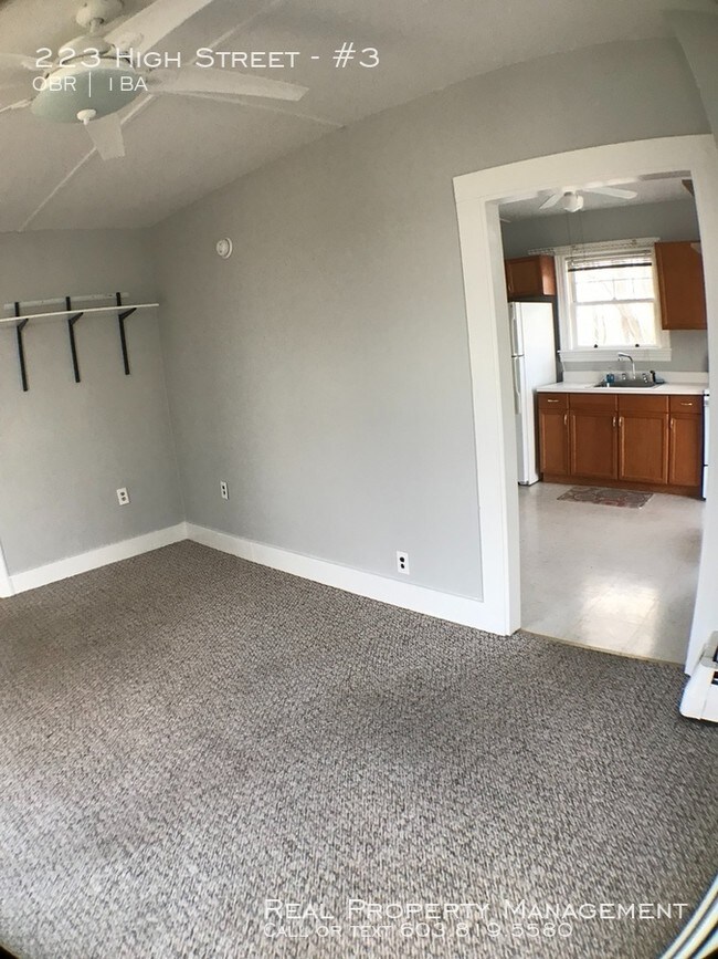
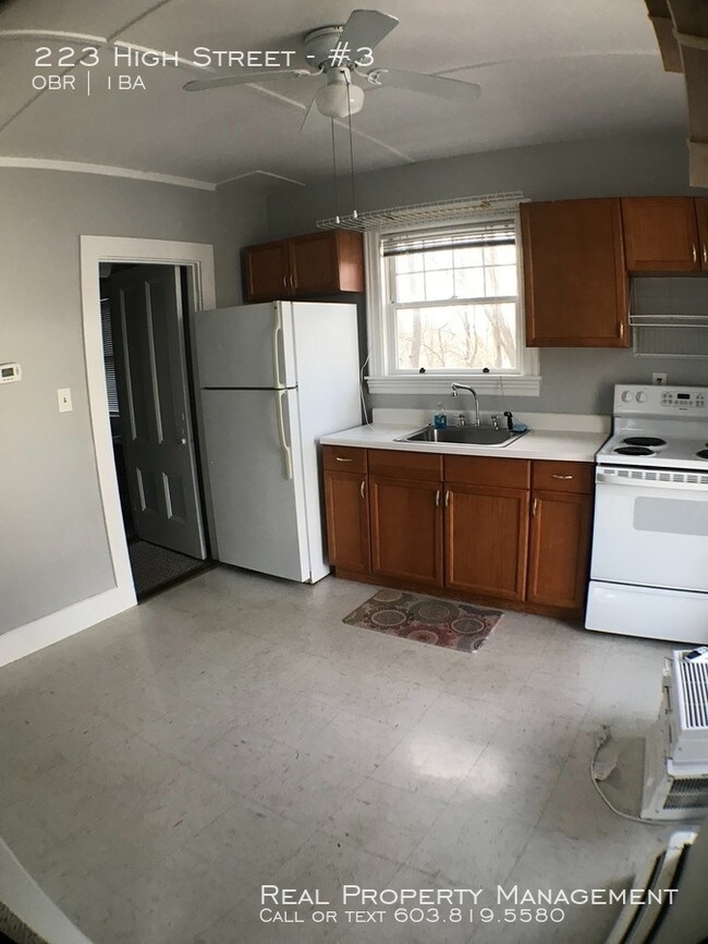
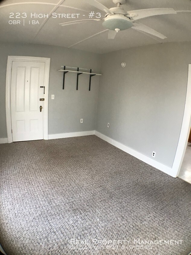
---- SCHEDULE A SHOWING ONLINE AT: http://showmojo.com/lac/3d7c71d0d9 ---- Come check out this great apartment! Close to downtown, shopping and public transit. Nice yard! Call now to schedule a showing. Available Immediately. Sorry No Pets
223 High St is an apartment community located in Strafford County and the 03878 ZIP Code.
223 High St,
Somersworth,
NH
03878
Uniquely positioned along New Hampshire-Maine border and the Salmon Falls River, Somersworth is a modest New England community that’s great for families or anyone looking to be closer to the New Hampshire countryside. William H. Champlin Jr. Forest provides the area with an expansive recreation space on top of the parks within the town’s boundaries.
Somersworth’s proximity to Portsmouth and Kittery make it a prime spot for commuters.
Learn more about living in Somersworth
Education
| Colleges & Universities | Distance | ||
|---|---|---|---|
| Colleges & Universities | Distance | ||
| Drive: | 24 min | 11.1 mi | |
| Drive: | 55 min | 35.1 mi | |
| Drive: | 58 min | 41.6 mi | |
| Drive: | 69 min | 44.4 mi |
223 High St Unit #3 is within 24 minutes or 11.1 miles from University of New Hampshire. It is also near University of New England and Northern Essex Comm. Coll..
Walkability Near 223 High St Somersworth, NH 03878
Getting Around
 What do Walkability, Transit, Drivability, and Bikeability mean?
Walkability measures the walking distance to day-to-day needs.
Transit measures access to public transportation.
Drivability measures congestion, parking availability, and access to major roads.
Bikeability measures the suitability for cycling.
How It Works
What do Walkability, Transit, Drivability, and Bikeability mean?
Walkability measures the walking distance to day-to-day needs.
Transit measures access to public transportation.
Drivability measures congestion, parking availability, and access to major roads.
Bikeability measures the suitability for cycling.
How It Works
Somewhat Walkable
Walkability
30
/ 100
Exceptionally Drivable
Drivability
90
/ 100
Somewhat Bikeable
Bikeability
30
/ 100
Scores provided by
-
Soundscore™
-
/ 100
Traffic
-Airport
-Businesses
-Scores provided by
HowLoud What is a Sound Score Rating? A Sound Score Rating aggregates noise caused by vehicle traffic, airplane traffic and local sources. How It WorksYou May Also Like
Similar Rentals Nearby


What Are Walk Score®, Transit Score®, and Bike Score® Ratings?
Walk Score® measures the walkability of any address. Transit Score® measures access to public transit. Bike Score® measures the bikeability of any address.
What is a Sound Score Rating?
A Sound Score Rating aggregates noise caused by vehicle traffic, airplane traffic and local sources.
223 High St
Somersworth, NH 03878