

$4,500
/ Month
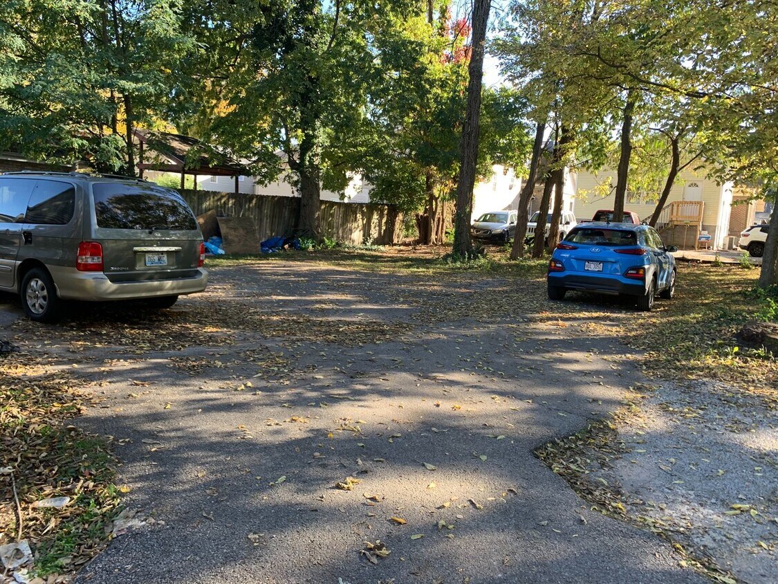
222 State St Unit A
Lexington, KY 40503
2 Weeks Ago
|
Edit
Favorites
222 State St Unit A

Favorites
Check Back Soon for Upcoming Availability
| Beds | Baths | Average SF |
|---|---|---|
| 5 Bedrooms 5 Bedrooms 5 Br | 3 Baths 3 Baths 3 Ba | — |
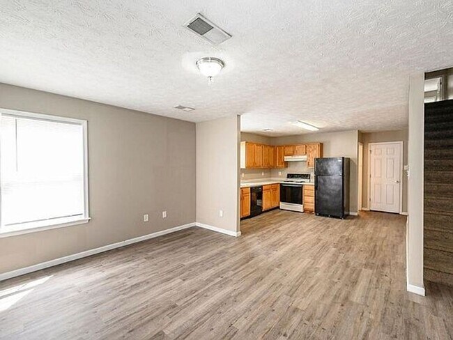
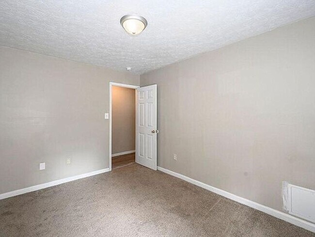
About This Property
Welcome to your new rental in Lexington, KY. Located at 222 State St in Lexington, this apartment unit for rent has much to offer. With this great space, you're home. To learn more about this property, contact us to schedule a tour.
222 State St is an apartment community located in Fayette County and the 40503 ZIP Code.
222 State St,
Lexington,
KY
40503
Outer Southwest Lexington covers a large territory, from the south side of the UK campus all the way down to Man O War Boulevard. This community’s affordable rent and abundance of amenities are perfect for the student population from the University of Kentucky, with extensive dining and retail along Nicholsville Road, particularly on the south side around Fayette Mall (this area is also where you’ll find the local multiplex movie theater). Just off New Circle Road, Wellington Park provides wide open green spaces and a network of wooded trails ideal for jogging or just a casual stroll.
Learn more about living in South LexingtonBelow are rent ranges for similar nearby apartments
Education
| Colleges & Universities | Distance | ||
|---|---|---|---|
| Colleges & Universities | Distance | ||
| Walk: | 13 min | 0.7 mi | |
| Drive: | 5 min | 2.4 mi | |
| Drive: | 13 min | 6.8 mi | |
| Drive: | 35 min | 25.9 mi |
222 State St Unit A is within 13 minutes or 0.7 mile from University of Kentucky. It is also near Transylvania University and National College, Lexington.
Walkability Near 222 State St Lexington, KY 40503
Getting Around
 What do Walkability, Transit, Drivability, and Bikeability mean?
Walkability measures the walking distance to day-to-day needs.
Transit measures access to public transportation.
Drivability measures congestion, parking availability, and access to major roads.
Bikeability measures the suitability for cycling.
How It Works
What do Walkability, Transit, Drivability, and Bikeability mean?
Walkability measures the walking distance to day-to-day needs.
Transit measures access to public transportation.
Drivability measures congestion, parking availability, and access to major roads.
Bikeability measures the suitability for cycling.
How It Works
Very Walkable
Walkability
80
/ 100
Some Public Transit
Transit
40
/ 100
Moderately Drivable
Drivability
60
/ 100
Fairly Bikeable
Bikeability
40
/ 100
Scores provided by
-
Soundscore™
-
/ 100
Traffic
-Airport
-Businesses
-Scores provided by
HowLoud What is a Sound Score Rating? A Sound Score Rating aggregates noise caused by vehicle traffic, airplane traffic and local sources. How It WorksYou May Also Like
Similar Rentals Nearby
-
-
-
-
4 Beds$1,845Total Monthly PriceTotal Monthly Price NewPrices include all required monthly fees.
Pets Allowed Fitness Center Pool In Unit Washer & Dryer Clubhouse High-Speed Internet Package Service
-
4 Beds$995+Total Monthly Price11 Month LeaseTotal Monthly Price NewPrices include all required monthly fees.
-
-
-
-
-


What Are Walk Score®, Transit Score®, and Bike Score® Ratings?
Walk Score® measures the walkability of any address. Transit Score® measures access to public transit. Bike Score® measures the bikeability of any address.
What is a Sound Score Rating?
A Sound Score Rating aggregates noise caused by vehicle traffic, airplane traffic and local sources.

222 State St
Lexington, KY 40503