$1,950
Total Monthly Price
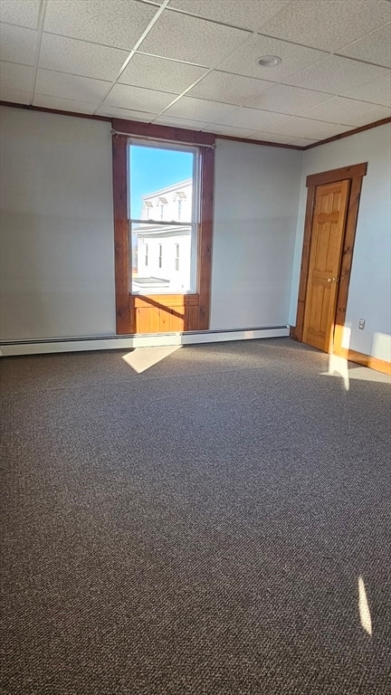
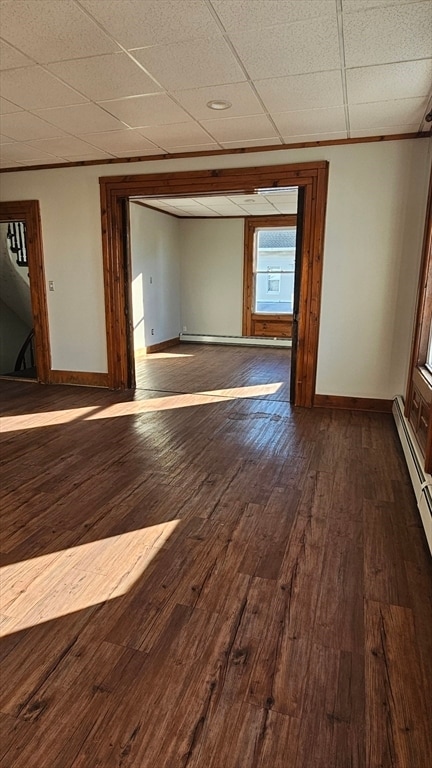
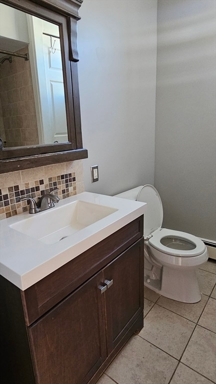
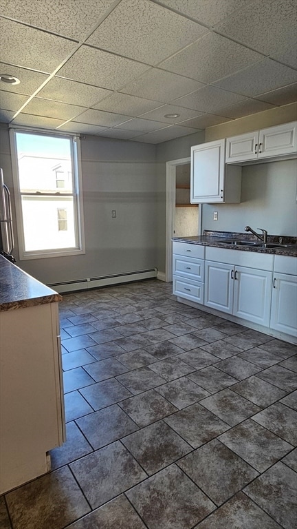
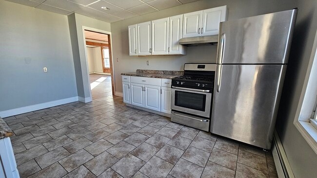
22 High St Unit 22
Westport, MA 02790
Today
|
Edit
Favorites
774-955-0533
-
Bedrooms
3
-
Bathrooms
1
-
Square Feet
1,100 sq ft
-
Available
Available Apr 20
22 High St Unit 22

Favorites
About This Home
$1,950 deposit,
Available Apr 20
MLS# 73503739
22 High St is an apartment community located in Bristol County and the 02790 ZIP Code.
* Price shown is total price based on community-supplied monthly required fees. Excludes user-selected optional fees and variable or usage-based fees and required charges due at or prior to move-in or at move-out. Price, availability, fees, and any applicable rent special are subject to change without notice.
* Square footage definitions vary. Displayed square footage is approximate.
Fees and Policies
The fees listed below are community-provided and may exclude utilities or add-ons. All payments are made directly to the property and are non-refundable unless otherwise specified. Use the Cost Calculator to determine costs based on your needs.
-
One-Time Basics
-
Due at Move-In
-
Security Deposit - RefundableCharged per unit.$1,950
-
-
Due at Move-In
Property Fee Disclaimer: Based on community-supplied data and independent market research. Subject to change without notice. May exclude fees for mandatory or optional services and usage-based utilities.
Contact
- Listed by Melanie Santos | Keller Williams South Watuppa
- Phone Number
-
Source
 MLS Property Information Network
The property listing data and information set forth herein were provided to MLS Property Information Network, Inc. from third party sources, including sellers, lessors and public records, and were compiled by MLS Property Information Network, Inc. The property listing data and information are for the personal, non-commercial use of consumers having a good faith interest in purchasing or leasing listed properties of the type displayed to them and may not be used for any purpose other than to identify prospective properties which such consumers may have a good faith interest in purchasing or leasing. MLS Property Information Network, Inc. and its subscribers disclaim any and all representations and warranties as to the accuracy of the property listing data and information set forth herein. All properties are subject to prior sale, change or withdrawal. Copyright © 2026 MLS Property Information Network, Inc. All rights reserved.
Location
Get Directions
Westport is a quaint suburban community just to the west of New Bedford. It shares a western border with Rhode Island, adding to its charming New England feel. Westport is a largely residential area with pockets of entertainment and culture. Head to central village for some top-notch pizza and a number of ice cream shops, or North Westport for a great collection of shops and grocery stores.
Hit the beach at Horseneck State Park, or enjoy the riverfront views at Westport Rivers Vineyard or Buzzards Bay Brewing. There’s amazing rental variety in Westport, including newly renovated lofts and historic apartment buildings. MA-88 connects to I-195 in the north, putting the rest of New England just a short drive away.
Learn more about living in Westport
Education
| Colleges & Universities | Distance | ||
|---|---|---|---|
| Colleges & Universities | Distance | ||
| Drive: | 11 min | 5.3 mi | |
| Drive: | 15 min | 7.6 mi | |
| Drive: | 22 min | 13.9 mi | |
| Drive: | 37 min | 21.1 mi |
22 High St Unit 22 is within 11 minutes or 5.3 miles from UMass Dartmouth. It is also near Bristol Community College and Roger Williams University.
Getting Around
 What do Walkability, Transit, Drivability, and Bikeability mean?
Walkability measures the walking distance to day-to-day needs.
Transit measures access to public transportation.
Drivability measures congestion, parking availability, and access to major roads.
Bikeability measures the suitability for cycling.
How It Works
What do Walkability, Transit, Drivability, and Bikeability mean?
Walkability measures the walking distance to day-to-day needs.
Transit measures access to public transportation.
Drivability measures congestion, parking availability, and access to major roads.
Bikeability measures the suitability for cycling.
How It Works
Somewhat Walkable
Walkability
30
/ 100
Limited Public Transit
Transit
30
/ 100
Exceptionally Drivable
Drivability
100
/ 100
Somewhat Bikeable
Bikeability
20
/ 100
Scores provided by
Active
Soundscore™
77
/ 100
Traffic
ActiveAirport
CalmBusinesses
CalmScores provided by
HowLoud What is a Sound Score Rating? A Sound Score Rating aggregates noise caused by vehicle traffic, airplane traffic and local sources. How It WorksYou May Also Like
Similar Rentals Nearby
-
-
-
-
-
-
1 / 11
 3 Beds$3,884Total Monthly PriceTotal Monthly Price NewPrices include required monthly fees of $155.Base Rent:3 Beds$3,729Specials
Fitness Center Pool Refrigerator Kitchen In Unit Washer & Dryer Clubhouse
-
-
3 Beds$3,580Total Monthly Price12 Month LeaseTotal Monthly Price NewPrices include base rent and required monthly fees of $5. Variable costs based on usage may apply.Base Rent:3 Beds$3,575
Pets Allowed Fitness Center Pool Dishwasher In Unit Washer & Dryer Balcony Stainless Steel Appliances
-
-


What Are Walk Score®, Transit Score®, and Bike Score® Ratings?
Walk Score® measures the walkability of any address. Transit Score® measures access to public transit. Bike Score® measures the bikeability of any address.
What is a Sound Score Rating?
A Sound Score Rating aggregates noise caused by vehicle traffic, airplane traffic and local sources.

22 High St
Westport, MA 02790