$700
Total Monthly Price
214 N Maple St
Maroa, IL 61756
Favorites
-
Bedrooms
3
-
Bathrooms
2
-
Square Feet
478 sq ft
-
Available
Available Sep 3
214 N Maple St

Favorites
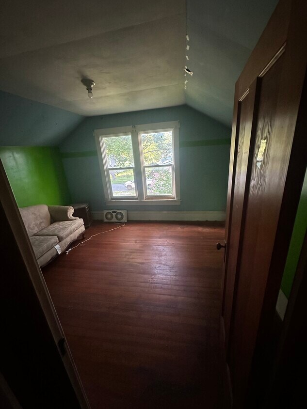
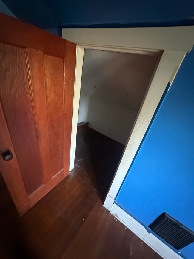
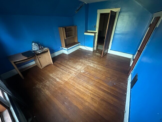
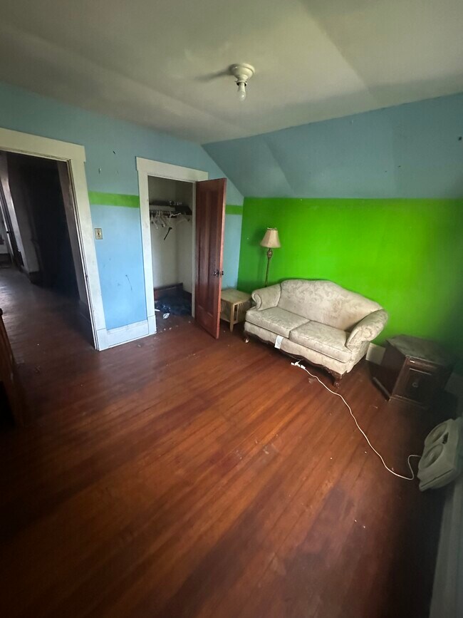
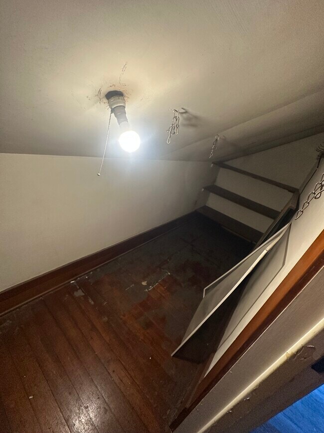
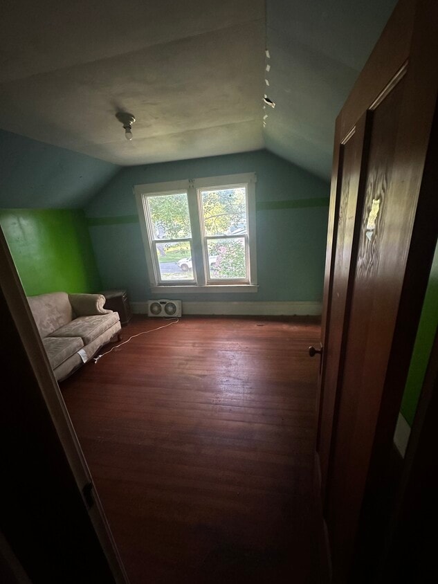
214 N Maple St is a house located in Macon County and the 61756 ZIP Code.
* Price shown is total price based on community-supplied monthly required fees. Excludes user-selected optional fees and variable or usage-based fees and required charges due at or prior to move-in or at move-out. Price, availability, fees, and any applicable rent special are subject to change without notice.
* Square footage definitions vary. Displayed square footage is approximate.
House Features
- Heating
- Storage Space
- Tub/Shower
- Laundry Facilities
Fees and Policies
The fees listed below are community-provided and may exclude utilities or add-ons. All payments are made directly to the property and are non-refundable unless otherwise specified.
- Cats Allowed
-
Fees not specified
-
Weight limit--
-
Pet Limit--
- Parking
-
Street--
Details
Utilities Included
-
Water
-
Electricity
-
Air Conditioning
Property Information
-
Built in 1853
Contact
- Contact
Location
Get Directions
Education
| Colleges & Universities | Distance | ||
|---|---|---|---|
| Colleges & Universities | Distance | ||
| Drive: | 21 min | 14.8 mi | |
| Drive: | 24 min | 15.5 mi | |
| Drive: | 46 min | 33.5 mi | |
| Drive: | 48 min | 34.6 mi |
214 N Maple St is within 24 minutes or 15.5 miles from Richland Community College. It is also near Millikin University and Illinois Wesleyan University.
Getting Around
 What do Walkability, Transit, Drivability, and Bikeability mean?
Walkability measures the walking distance to day-to-day needs.
Transit measures access to public transportation.
Drivability measures congestion, parking availability, and access to major roads.
Bikeability measures the suitability for cycling.
How It Works
What do Walkability, Transit, Drivability, and Bikeability mean?
Walkability measures the walking distance to day-to-day needs.
Transit measures access to public transportation.
Drivability measures congestion, parking availability, and access to major roads.
Bikeability measures the suitability for cycling.
How It Works
Somewhat Walkable
Walkability
20
/ 100
Exceptionally Drivable
Drivability
90
/ 100
Somewhat Bikeable
Bikeability
30
/ 100
Scores provided by
What do Walkability, Transit, Drivability, and Bikeability mean?
Walkability measures the walking distance to day-to-day needs.
Transit measures access to public transportation.
Drivability measures congestion, parking availability, and access to major roads.
Bikeability measures the suitability for cycling.
How It Works
-
Soundscore™
-
/ 100
Traffic
-Airport
-Businesses
-Scores provided by
HowLoud What is a Sound Score Rating? A Sound Score Rating aggregates noise caused by vehicle traffic, airplane traffic and local sources. How It Works
Amenities
- Heating
- Storage Space
- Tub/Shower
- Laundry Facilities
214 N Maple St Photos
214 N Maple St
Maroa, IL 61756