$765
/ Month
2129 Southfork Dr
Ozark, MO 65721
Favorites
2129 Southfork Dr

Favorites
Check Back Soon for Upcoming Availability
| Beds | Baths | Average SF |
|---|---|---|
| 2 Bedrooms 2 Bedrooms 2 Br | 2 Baths 2 Baths 2 Ba | 985 SF |
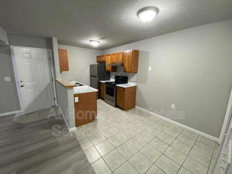
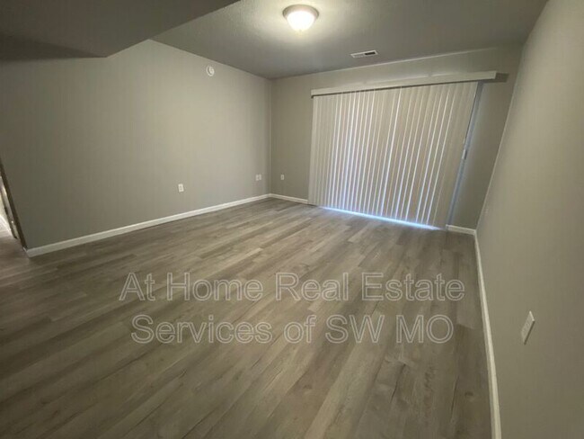
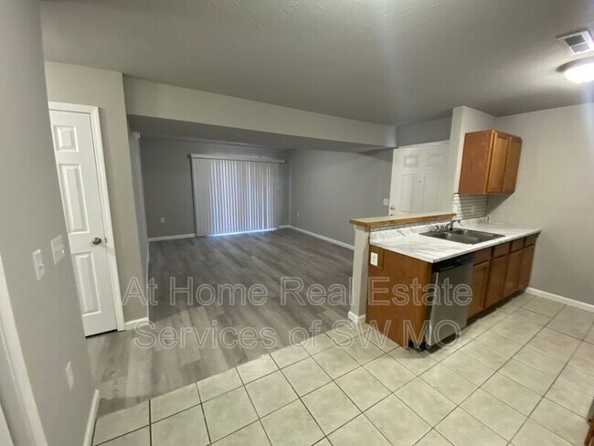
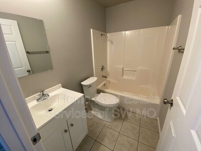
About This Property
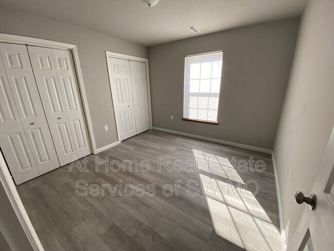
2129 Southfork 2 bedroom, 2 bath apartment Upstairs unit Located in Ozark Central air and heat Washer/dryer hookups in unit Fridge, stove, dishwasher and microwave included Water, sewer, and trash provided Residents responsible for electric Dogs only (40 lbs and under) -$25 pet rent per month per pet Must have Epremium Insurance (covers $500 pet damage per occurrence) Renter’s Insurance Required Suggested-
2129 Southfork Dr is a house located in Christian County and the 65721 ZIP Code. This area is served by the Ozark R-Vi School District attendance zone.
2129 Southfork Dr,
Ozark,
MO
65721
Education
| Colleges & Universities | Distance | ||
|---|---|---|---|
| Colleges & Universities | Distance | ||
| Drive: | 29 min | 17.8 mi | |
| Drive: | 28 min | 18.9 mi | |
| Drive: | 29 min | 19.5 mi | |
| Drive: | 29 min | 19.8 mi |
2129 Southfork Dr is within 29 minutes or 17.8 miles from Missouri State University. It is also near Ozarks Tech. C.C., Springfield and Drury University.
Schools


Public Elementary School
Grades K-5
934 Students
Nearby
Public Elementary School
Grades K-5
524 Students
Attendance Zone
Public Middle School
Grades 6-8
946 Students
Attendance Zone
Public High School
Grades 9-12
1,838 Students
Attendance Zone
Private Elementary, Middle & High School
Grades K-12
26 Students
Nearby
Private Elementary School
Grades PK-6
80 Students
Nearby
School data provided by
 The GreatSchools Rating helps parents compare schools within a state based on a variety of school quality indicators and provides a helpful picture of how effectively each school serves all of its students. Ratings are on a scale of 1 (below average) to 10 (above average) and can include test scores, college readiness, academic progress, advanced courses, equity, discipline and attendance data. We also advise parents to visit schools, consider other information on school performance and programs, and consider family needs as part of the school selection process.
View GreatSchools Rating Methodology
Data provided by GreatSchools.org © 2026. All rights reserved.
View GreatSchools Rating Methodology
Data provided by GreatSchools.org © 2026. All rights reserved.
Walkability Near 2129 Southfork Dr Ozark, MO 65721
Getting Around
 What do Walkability, Transit, Drivability, and Bikeability mean?
Walkability measures the walking distance to day-to-day needs.
Transit measures access to public transportation.
Drivability measures congestion, parking availability, and access to major roads.
Bikeability measures the suitability for cycling.
How It Works
What do Walkability, Transit, Drivability, and Bikeability mean?
Walkability measures the walking distance to day-to-day needs.
Transit measures access to public transportation.
Drivability measures congestion, parking availability, and access to major roads.
Bikeability measures the suitability for cycling.
How It Works
Somewhat Walkable
Walkability
30
/ 100
Exceptionally Drivable
Drivability
100
/ 100
Somewhat Bikeable
Bikeability
30
/ 100
Scores provided by
-
Soundscore™
-
/ 100
Traffic
-Airport
-Businesses
-Scores provided by
HowLoud What is a Sound Score Rating? A Sound Score Rating aggregates noise caused by vehicle traffic, airplane traffic and local sources. How It WorksYou May Also Like
Similar Rentals Nearby
-
-
3 Beds$1,895Total Monthly Price12 Month LeaseTotal Monthly Price NewPrices include all required monthly fees.
-
-
-

-

-

-

-

-


What Are Walk Score®, Transit Score®, and Bike Score® Ratings?
Walk Score® measures the walkability of any address. Transit Score® measures access to public transit. Bike Score® measures the bikeability of any address.
What is a Sound Score Rating?
A Sound Score Rating aggregates noise caused by vehicle traffic, airplane traffic and local sources.

2129 Southfork Dr
Ozark, MO 65721