$1,595
/ Month
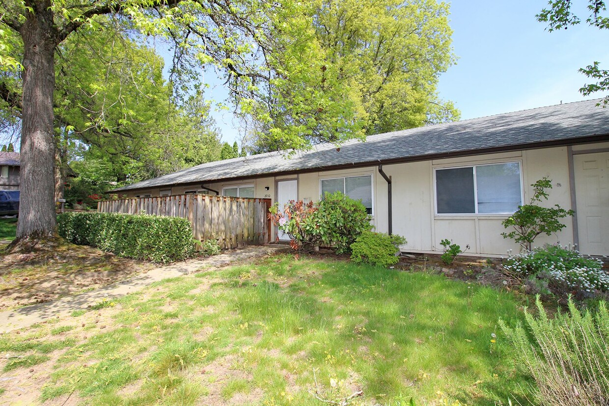
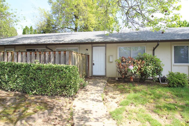
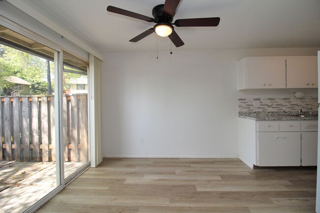
2020-2020 NW Earl Ct Unit 2010
Gresham, OR 97030
2 Weeks Ago
|
Edit
Favorites
-
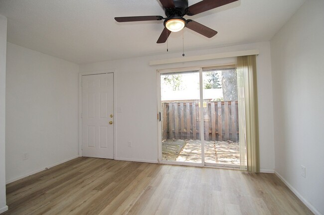
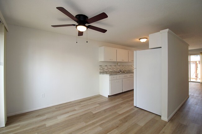
Bedrooms
2
-
Bathrooms
1
-
Square Feet
800 sq ft
2020-2020 NW Earl Ct Unit 2010

Favorites
Contact
- Listed by Rental Management Services, Inc. | Rental Management Services, Inc.
Location
Get Directions
Gresham-North Central is a tight-knit community located a few miles south of the Columbia River and 15 miles east of Portland. The northern half of the neighborhood is made up of electronic distribution centers and warehouses. The other half of the area features suburban communities with an array of modern rental choices. The neighborhood is also dotted with parks like Red Sunset Park. Outside of the community, more outdoor recreation is available at Salish Ponds Wetland Park. Premier shopping destinations surround the area as well. Wood Village Town Center shopping mall, Hood Shopping Center, and Gresham Station provide a variety of retail centers and restaurants.
Learn more about living in Gresham-North Central
Education
| Colleges & Universities | Distance | ||
|---|---|---|---|
| Colleges & Universities | Distance | ||
| Walk: | 14 min | 0.8 mi | |
| Drive: | 8 min | 3.1 mi | |
| Drive: | 20 min | 8.0 mi | |
| Drive: | 16 min | 9.9 mi |
2020-2020 NW Earl Ct Unit 2010 is within 14 minutes or 0.8 mile from Mount Hood C.C., Bruning Ctr.. It is also near Mount Hood C.C., Gresham and Portland Community College.
Transportation options available in Gresham include Gresham City Hall, located 0.6 mile from 2020-2020 NW Earl Ct Unit 2010. 2020-2020 NW Earl Ct Unit 2010 is near Portland International, located 12.9 miles or 21 minutes away.
| Transit / Subway | Distance | ||
|---|---|---|---|
| Transit / Subway | Distance | ||
|
|
Walk: | 10 min | 0.6 mi |
| Walk: | 13 min | 0.7 mi | |
|
|
Walk: | 15 min | 0.8 mi |
|
|
Drive: | 3 min | 1.2 mi |
|
|
Drive: | 4 min | 1.8 mi |
| Commuter Rail | Distance | ||
|---|---|---|---|
| Commuter Rail | Distance | ||
|
|
Drive: | 26 min | 16.2 mi |
|
|
Drive: | 33 min | 18.7 mi |
|
|
Drive: | 32 min | 20.3 mi |
|
|
Drive: | 39 min | 24.8 mi |
|
|
Drive: | 39 min | 26.2 mi |
| Airports | Distance | ||
|---|---|---|---|
| Airports | Distance | ||
|
Portland International
|
Drive: | 21 min | 12.9 mi |
Time and distance from 2020-2020 NW Earl Ct Unit 2010.
| Shopping Centers | Distance | ||
|---|---|---|---|
| Shopping Centers | Distance | ||
| Walk: | 4 min | 0.2 mi | |
| Walk: | 5 min | 0.3 mi | |
| Walk: | 6 min | 0.3 mi |
2020-2020 NW Earl Ct Unit 2010 has 3 shopping centers within 0.3 mile, which is about a 6-minute walk. The miles and minutes will be for the farthest away property.
| Parks and Recreation | Distance | ||
|---|---|---|---|
| Parks and Recreation | Distance | ||
|
Springwater Corridor
|
Drive: | 4 min | 1.2 mi |
|
Planetarium Sky Theater
|
Drive: | 7 min | 2.9 mi |
|
Nadaka Nature Park
|
Drive: | 8 min | 3.5 mi |
|
Blue Lake Regional Park
|
Drive: | 9 min | 3.9 mi |
|
Lewis and Clark State Recreation Site
|
Drive: | 9 min | 5.0 mi |
2020-2020 NW Earl Ct Unit 2010 has 5 parks within 5.0 miles, including Springwater Corridor, Planetarium Sky Theater, and Nadaka Nature Park.
| Hospitals | Distance | ||
|---|---|---|---|
| Hospitals | Distance | ||
| Drive: | 4 min | 1.9 mi | |
| Drive: | 18 min | 7.1 mi | |
| Drive: | 21 min | 13.0 mi |
2020-2020 NW Earl Ct Unit 2010 has 3 hospitals within 13.0 miles, the nearest is Legacy Mount Hood Medical Center which is 1.9 miles away and a 4 minute drive.
| Military Bases | Distance | ||
|---|---|---|---|
| Military Bases | Distance | ||
| Drive: | 21 min | 12.2 mi | |
| Drive: | 45 min | 26.8 mi |
2020-2020 NW Earl Ct Unit 2010 is 12.2 miles from Portland Airport Air Guard Station, and is convenient to other military bases, including Camp Bonneville Military Reservation.
You May Also Like
Similar Rentals Nearby


What Are Walk Score®, Transit Score®, and Bike Score® Ratings?
Walk Score® measures the walkability of any address. Transit Score® measures access to public transit. Bike Score® measures the bikeability of any address.
What is a Sound Score Rating?
A Sound Score Rating aggregates noise caused by vehicle traffic, airplane traffic and local sources

2020-2020 NW Earl Ct
Gresham, OR 97030