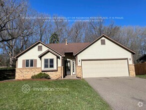
$1,695 / Month
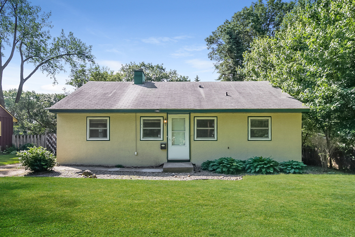
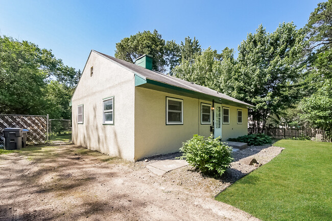
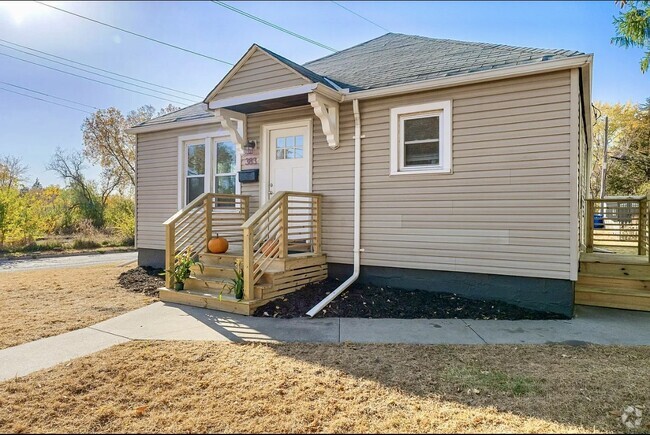
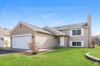
1998 Polaris Ct
North Saint Paul, MN 55109
2 Weeks Ago
Favorites
1998 Polaris Ct

Favorites
Check Back Soon for Upcoming Availability
| Beds | Baths | Average SF |
|---|---|---|
| 3 Bedrooms 3 Bedrooms 3 Br | 1 Bath 1 Bath 1 Ba | 864 SF |
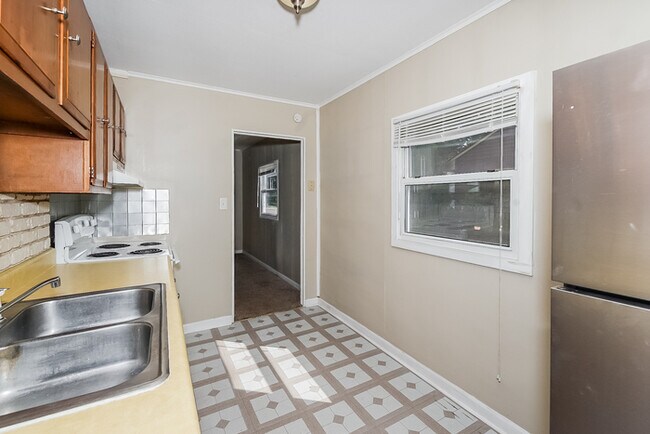
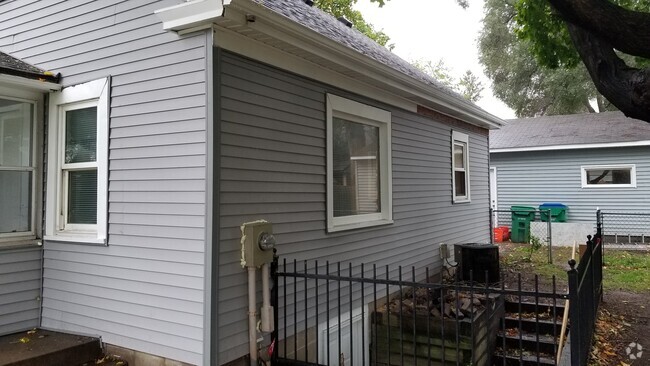
About This Property
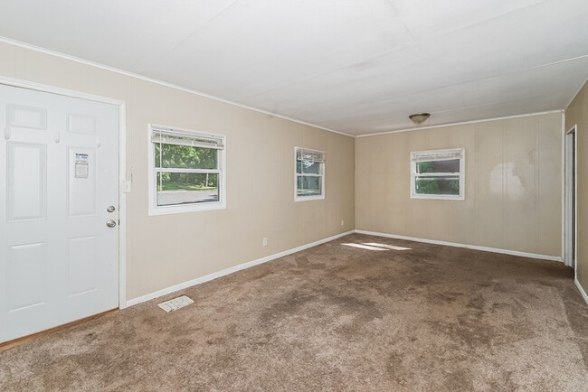
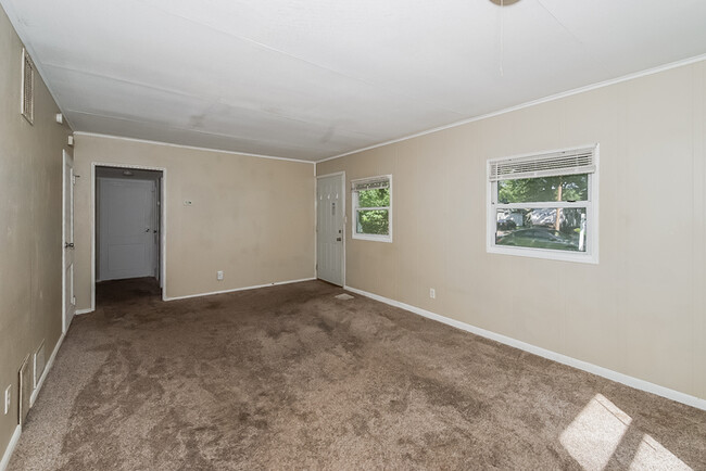
This fantastic property in North Saint Paul features THREE bedrooms on one level, as well as an open floorplan, kitchen with ample counter and cabinet space, and an impressive back yard. Bedroom and closet sizes are sure to impress as well! Located near Northwood Park with easy access to Hwy 36. All Bridge Homes residents are automatically enrolled in our Resident Benefits Package (RBP), to ensure the best leasing experience and is included in the advertised rate. Visit to view additional details on this exclusive package, schedule your showing, and apply TODAY! One time admin fee applicable upon approval. DID YOU KNOW?! Self-scheduling for showings is just a click away? Our innovative showings platform gives you the freedom to tour at your leisure! Simply visit our website, and click "ENTER PROPERTY YOURSELF" to schedule your tour at This property allows self guided viewing without an appointment. Contact for details.
1998 Polaris Ct is a house located in Ramsey County and the 55109 ZIP Code. This area is served by the North St Paul-Maplewood School Dist attendance zone.
Fees and Policies
The fees below are based on community-supplied data and may exclude additional fees and utilities.
- Dogs Allowed
-
Fees not specified
- Cats Allowed
-
Fees not specified
Location
Get Directions
Thanks to some odd geography, Maplewood has something of a split personality. This first-ring St. Paul suburb can be described as being shaped like a frying pan. The main business and residential area lies primarily to the north and east of St. Paul, while the chief amenities, such as the community center and an indoor mall, lie in the "pan." South Maplewood, or the "pan handle," runs south along Interstate 494 and has fewer business amenities. Residents of this area tend to shop in bordering Woodbury, since it takes a good half hour to get from the southern tip of Maplewood to the main northern business district.
Meanwhile, Oakdale lies between the two sections, just east of Maplewood's pan handle and north of Woodbury. This young suburb is a quiet bedroom community with a scattering of business districts. Cornfields make up its eastern portion, giving the area a distinctly rural vibe, even though it's just 10 minutes outside of downtown St. Paul.
Learn more about living in Maplewood-OakdaleBelow are rent ranges for similar nearby apartments
Education
| Colleges & Universities | Distance | ||
|---|---|---|---|
| Colleges & Universities | Distance | ||
| Drive: | 8 min | 3.8 mi | |
| Drive: | 12 min | 6.3 mi | |
| Drive: | 17 min | 8.8 mi | |
| Drive: | 22 min | 12.8 mi |
1998 Polaris Ct is within 8 minutes or 3.8 miles from Century College. It is also near Metropolitan State University and Saint Paul College.
Schools


Public Elementary School
Grades PK-5
403 Students
Attendance Zone
Public Elementary School
Grades PK-5
412 Students
Nearby
Public Middle School
Grades 6-8
557 Students
Attendance Zone
Public High School
Grades 9-12
1,594 Students
Attendance Zone
Private Elementary, Middle & High School
Grades PK-12
466 Students
Nearby
Private Middle & High School
Grades 6-12
866 Students
Nearby
School data provided by
 The GreatSchools Rating helps parents compare schools within a state based on a variety of school quality indicators and provides a helpful picture of how effectively each school serves all of its students. Ratings are on a scale of 1 (below average) to 10 (above average) and can include test scores, college readiness, academic progress, advanced courses, equity, discipline and attendance data. We also advise parents to visit schools, consider other information on school performance and programs, and consider family needs as part of the school selection process.
View GreatSchools Rating Methodology
View GreatSchools Rating Methodology
Transportation options available in North Saint Paul include Union Depot Station, located 7.3 miles from 1998 Polaris Ct. 1998 Polaris Ct is near Minneapolis-St Paul International/Wold-Chamberlain, located 17.5 miles or 29 minutes away.
| Transit / Subway | Distance | ||
|---|---|---|---|
| Transit / Subway | Distance | ||
| Drive: | 15 min | 7.3 mi | |
| Drive: | 15 min | 7.4 mi | |
| Drive: | 16 min | 7.7 mi | |
| Drive: | 15 min | 7.7 mi | |
| Drive: | 15 min | 7.9 mi |
| Commuter Rail | Distance | ||
|---|---|---|---|
| Commuter Rail | Distance | ||
|
|
Drive: | 15 min | 7.3 mi |
|
|
Drive: | 28 min | 16.6 mi |
|
|
Drive: | 25 min | 17.5 mi |
|
|
Drive: | 36 min | 25.7 mi |
|
|
Drive: | 37 min | 27.3 mi |
| Airports | Distance | ||
|---|---|---|---|
| Airports | Distance | ||
|
Minneapolis-St Paul International/Wold-Chamberlain
|
Drive: | 29 min | 17.5 mi |
Time and distance from 1998 Polaris Ct.
| Shopping Centers | Distance | ||
|---|---|---|---|
| Shopping Centers | Distance | ||
| Walk: | 18 min | 1.0 mi | |
| Walk: | 20 min | 1.1 mi | |
| Drive: | 5 min | 1.6 mi |
1998 Polaris Ct has 3 shopping centers within 1.6 miles, which is about a 5-minute walk. The miles and minutes will be for the farthest away property.
| Parks and Recreation | Distance | ||
|---|---|---|---|
| Parks and Recreation | Distance | ||
|
Maplewood Nature Center
|
Drive: | 7 min | 3.4 mi |
|
Keller Regional Park
|
Drive: | 9 min | 3.6 mi |
|
Phalen Park
|
Drive: | 11 min | 4.7 mi |
|
Phelan Regional Park
|
Drive: | 12 min | 4.9 mi |
|
Arlington/Arkwright Park
|
Drive: | 13 min | 6.6 mi |
1998 Polaris Ct has 5 parks within 6.6 miles, including Maplewood Nature Center, Keller Regional Park, and Phelan Regional Park.
| Hospitals | Distance | ||
|---|---|---|---|
| Hospitals | Distance | ||
| Drive: | 8 min | 3.7 mi | |
| Drive: | 15 min | 7.1 mi | |
| Drive: | 13 min | 7.9 mi |
1998 Polaris Ct has 3 hospitals within 7.9 miles, the nearest is Healtheast St. John's Hospital which is 3.7 miles away and a 8 minute drive.
| Military Bases | Distance | ||
|---|---|---|---|
| Military Bases | Distance | ||
| Drive: | 28 min | 16.2 mi |
1998 Polaris Ct is 16.2 miles and a 28 minute drive from Fort Snelling Military Reservation.
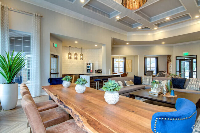
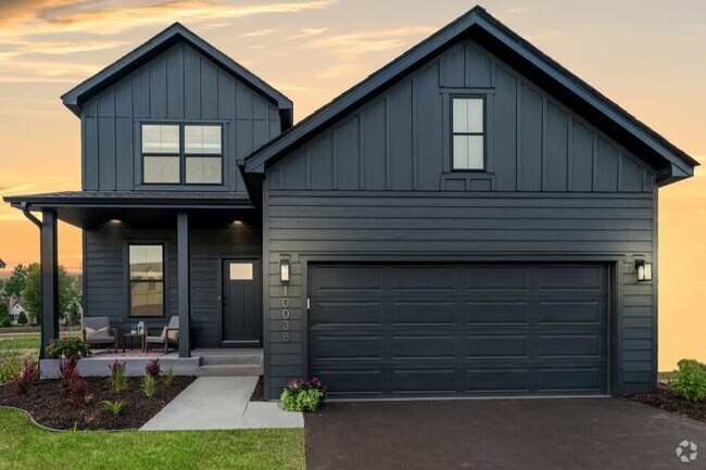
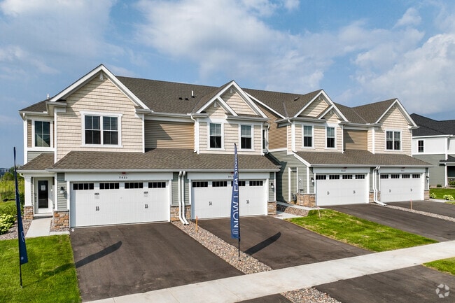
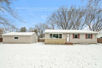
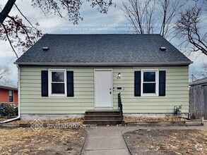
You May Also Like
Similar Rentals Nearby
What Are Walk Score®, Transit Score®, and Bike Score® Ratings?
Walk Score® measures the walkability of any address. Transit Score® measures access to public transit. Bike Score® measures the bikeability of any address.
What is a Sound Score Rating?
A Sound Score Rating aggregates noise caused by vehicle traffic, airplane traffic and local sources

1998 Polaris Ct
North Saint Paul, MN 55109