
Williamsburg
200 W Galbraith Rd,
Cincinnati, OH 45215
$658 - $2,879
Studio - 3 Beds
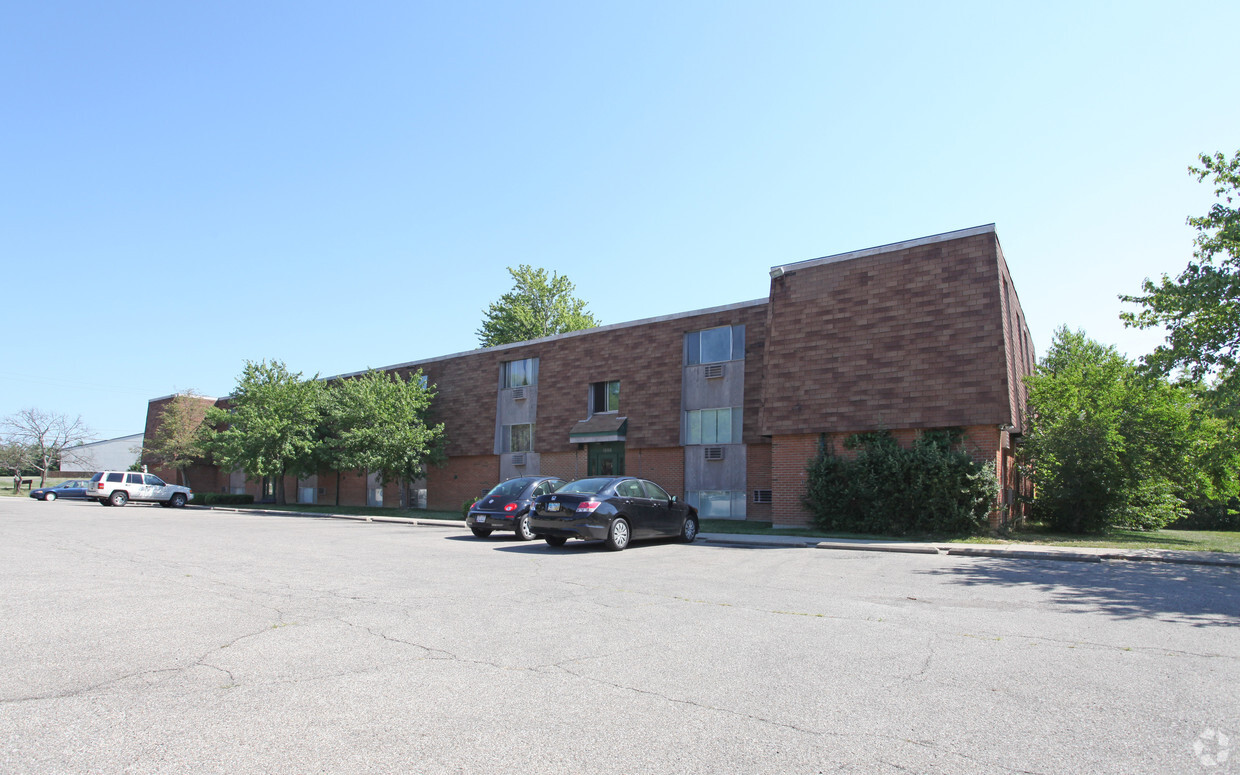
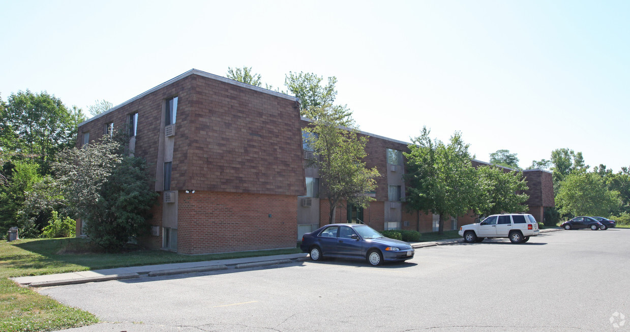

Consider living at 1995 Waycross Rd in Cincinnati. The location in Cincinnati's 45240 area has much to offer its residents. Make sure you to see the current floorplan options. From amenities to floorplan options, the community staff is ready to match you with your new place. At 1995 Waycross Rd you're right at home. Stop by the community today.
1995 Waycross Rd is an apartment community located in Hamilton County and the 45240 ZIP Code. This area is served by the Mt Healthy City attendance zone.
Cincinnati sits on the northern bank of the Ohio River, where rolling hills meet a city that helped establish the Midwest long before other major metros existed. Settled in 1788, the Queen City sits west of the Appalachian Mountains and combines historic culture with urban living.
Today, neighborhoods like Over-the-Rhine, Hyde Park, and Mount Adams each bring a distinct character to city life. Over-the-Rhine is packed with restored 19th-century architecture, Findlay Market, and Music Hall. Mount Adams perches beside Eden Park with stunning river views, while Hyde Park Square draws locals and tourists alike with local cafes and walkable streets.
Renters will find a wide range of housing options across the city, from converted lofts and townhouses in Over-the-Rhine to sleek high-rise apartment communities along the riverfront at The Banks. Clifton and Oakley offer everything from charming older buildings to newer developments with modern amenities.
Learn more about living in Cincinnati| Colleges & Universities | Distance | ||
|---|---|---|---|
| Colleges & Universities | Distance | ||
| Drive: | 14 min | 7.8 mi | |
| Drive: | 25 min | 12.4 mi | |
| Drive: | 20 min | 12.4 mi | |
| Drive: | 24 min | 14.5 mi |


Scores provided by
Traffic
-Airport
-Businesses
-Scores provided by
HowLoud What is a Sound Score Rating? A Sound Score Rating aggregates noise caused by vehicle traffic, airplane traffic and local sources. How It WorksWhat Are Walk Score®, Transit Score®, and Bike Score® Ratings?
Walk Score® measures the walkability of any address. Transit Score® measures access to public transit. Bike Score® measures the bikeability of any address.
What is a Sound Score Rating?
A Sound Score Rating aggregates noise caused by vehicle traffic, airplane traffic and local sources.


