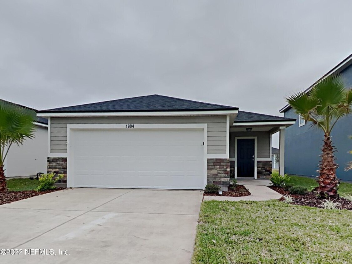
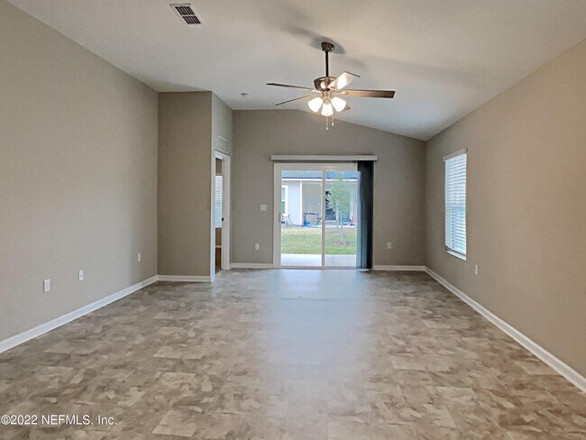
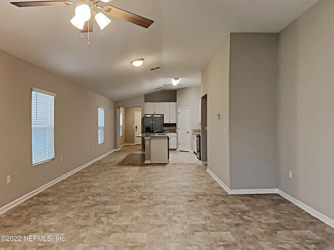
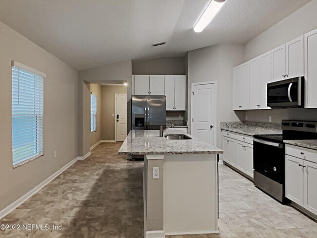
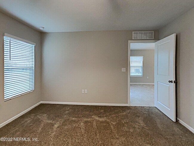
$1,449 / Month

1994 Howard Christy Ct

,

Jacksonville, FL 32221

Share Listing
Favorites
  • Bedrooms

    3

  • Bathrooms

    2

  • Square Feet

    1,622 sq ft

1994 Howard Christy Ct
Share Listing
Favorites

Contact

  • Listed by Locayt
| Edit

Under 30 minutes

Commute Time is calculated at rush hour.
Neighborhood

Located approximately 13 miles west of downtown Jacksonville off Interstate 10, Jacksonville Farms/Terrace gives residents a break from the fast pace of city life. This friendly community includes both rural and suburban areas, with the area near Normandy Boulevard in particular offering a cluster of houses for rent. Take a drive down Normandy to visit the Jacksonville Equestrian Center, an impressive stadium that holds frequent events, or stop at Fat Boyz, a cozy, welcoming bar where you can play pool and get to know your neighbors.

Quite a few businesses and restaurants call the area by Crystal Springs Road and Interstate 10 home, including sushi bar Hokkaido and Mr. Chubby’s Wings, a must for fans of chicken wings. Sophisticated Diva Boutique, a hidden gem with unique, affordably-priced clothes, lies near the north end of this neighborhood.

Learn more about living in Jacksonville Farms/Terrace 
Education
Colleges & Universities Distance
Drive: 23 min 14.4 mi
Drive: 30 min 17.8 mi
Drive: 27 min 18.3 mi
Drive: 35 min 19.8 mi
1994 Howard Christy Ct is within 23 minutes or 14.4 miles from Fla. State Coll. Jacksonville. It is also near St. Johns River, Orange Park and FSCJ North Campus.
Transportation

1994 Howard Christy Ct is near Jacksonville International, located 24.1 miles or 36 minutes away.

Commuter Rail Distance
Drive: 23 min 13.6 mi
Airports Distance
Airports Distance
Jacksonville International
Drive: 36 min 24.1 mi
Getting Around
Somewhat Walkable
Walkability
20 / 100
Minimal Public Transit
Transit
0 / 100
Exceptionally Drivable
Drivability
100 / 100
Somewhat Bikeable
Bikeability
30 / 100

Scores provided by

What do Walkability, Transit, Drivability, and Bikeability mean? Walkability measures the walking distance to day-to-day needs. Transit measures access to public transportation. Drivability measures congestion, parking availability, and access to major roads. Bikeability measures the suitability for cycling. How It Works
-
Soundscore
- / 100

Traffic

-

Airport

-

Businesses

-

Scores provided by

HowLoud What is a Sound Score Rating? A Sound Score Rating aggregates noise caused by vehicle traffic, airplane traffic and local sources. How It Works
Points of Interest

Time and distance from 1994 Howard Christy Ct.

Shopping Centers Distance
Drive: 3 min 1.2 mi
Drive: 5 min 2.3 mi
Drive: 8 min 4.0 mi
1994 Howard Christy Ct has 3 shopping centers within 4.0 miles, which is about a 8-minute drive. The miles and minutes will be for the farthest away property.
Parks and Recreation Distance
Crystal Springs Road Park
Drive: 8 min 3.6 mi
Cecil Field Greenway
Drive: 10 min 5.2 mi
Pope Duval Park
Drive: 9 min 5.5 mi
Camp Milton Historic Preserve
Drive: 12 min 5.7 mi
McGirts Creek Park
Drive: 19 min 8.4 mi
1994 Howard Christy Ct has 5 parks within 8.4 miles, including Crystal Springs Road Park, Cecil Field Greenway, and Pope Duval Park.
Military Bases Distance
Drive: 8 min 4.0 mi
Drive: 30 min 15.9 mi
Drive: 53 min 32.2 mi
1994 Howard Christy Ct has 3 military bases within 32.2 miles, the nearest is Cecil Field Naval Air Station which is 4.0 miles away and a 8 minute drive.

You May Also Like

Similar Rentals Nearby