
$785
/ Month
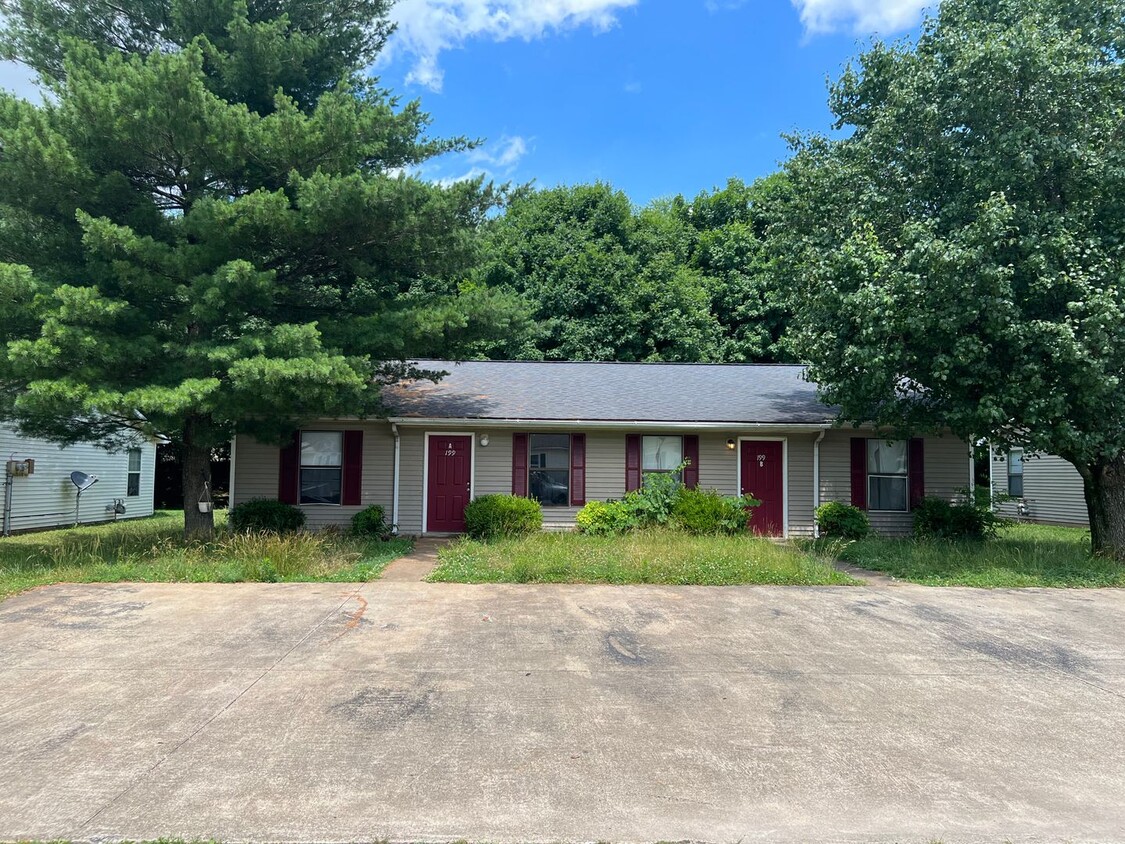
199 E Heights Ave Unit 199 A
Bowling Green, KY 42101
Favorites
199 E Heights Ave Unit 199 A

Favorites
Check Back Soon for Upcoming Availability
| Beds | Baths | Average SF |
|---|---|---|
| 2 Bedrooms 2 Bedrooms 2 Br | 1 Bath 1 Bath 1 Ba | 850 SF |
About This Property
2 Two bedroom Flats Located Off Louisville Road Warren County School District
199 E Heights Ave is an apartment community located in Warren County and the 42101 ZIP Code.
199 E Heights Ave,
Bowling Green,
KY
42101
Located in south-central Kentucky, Bowling Green combines historic architecture with contemporary living. As home to Western Kentucky University, the city maintains a strong educational presence while preserving its small-town community spirit. The heart of downtown centers around Fountain Square Park, which hosts community events throughout the seasons. Outdoor recreation opportunities abound at Lost River Cave, featuring Kentucky's only underground boat tour, while Weldon Peete Park offers dedicated mountain biking trails and climbing areas. The city's automotive heritage shines through the National Corvette Museum and the GM Corvette Assembly Plant, drawing visitors from across the globe.
The rental market in Bowling Green offers various housing options, with average monthly rents ranging from $671 for studios to $1,497 for four-bedroom homes.
Learn more about living in Bowling Green
Education
| Colleges & Universities | Distance | ||
|---|---|---|---|
| Colleges & Universities | Distance | ||
| Drive: | 15 min | 7.6 mi |
199 E Heights Ave Unit 199 A is within 15 minutes or 7.6 miles from Western Kentucky University.
Walkability Near 199 E Heights Ave Bowling Green, KY 42101
Getting Around
 What do Walkability, Transit, Drivability, and Bikeability mean?
Walkability measures the walking distance to day-to-day needs.
Transit measures access to public transportation.
Drivability measures congestion, parking availability, and access to major roads.
Bikeability measures the suitability for cycling.
How It Works
What do Walkability, Transit, Drivability, and Bikeability mean?
Walkability measures the walking distance to day-to-day needs.
Transit measures access to public transportation.
Drivability measures congestion, parking availability, and access to major roads.
Bikeability measures the suitability for cycling.
How It Works
Somewhat Walkable
Walkability
20
/ 100
Exceptionally Drivable
Drivability
100
/ 100
Somewhat Bikeable
Bikeability
20
/ 100
Scores provided by
-
Soundscore™
-
/ 100
Traffic
-Airport
-Businesses
-Scores provided by
HowLoud What is a Sound Score Rating? A Sound Score Rating aggregates noise caused by vehicle traffic, airplane traffic and local sources. How It WorksYou May Also Like
Similar Rentals Nearby


What Are Walk Score®, Transit Score®, and Bike Score® Ratings?
Walk Score® measures the walkability of any address. Transit Score® measures access to public transit. Bike Score® measures the bikeability of any address.
What is a Sound Score Rating?
A Sound Score Rating aggregates noise caused by vehicle traffic, airplane traffic and local sources.
199 E Heights Ave
Bowling Green, KY 42101