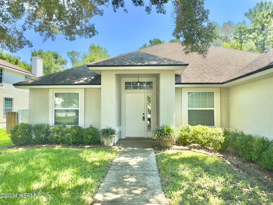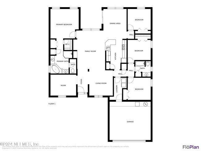


4 Beds
$2,225
Total Monthly Price
Total Monthly Price
New
Prices include all required monthly fees.
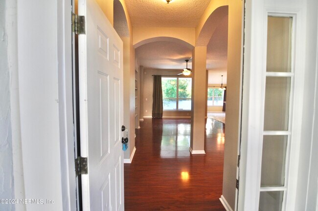
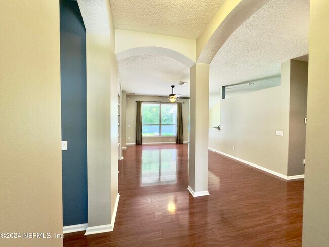
House for Rent