
$2,575 Total Monthly Price

1982 Teasel Ct

,

Woodbridge, VA 22192

Share Listing
Favorites
571-314-1677
  • Bedrooms

    2

  • Bathrooms

    2.5

  • Square Feet

    1,472 sq ft

  • Available

    Available Oct 1

1982 Teasel Ct
Share Listing
Favorites

About This Home

$2,575 deposit, Available Oct 1

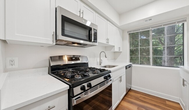
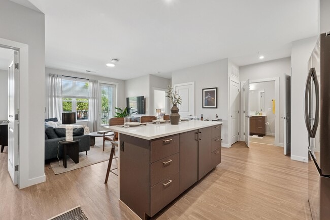
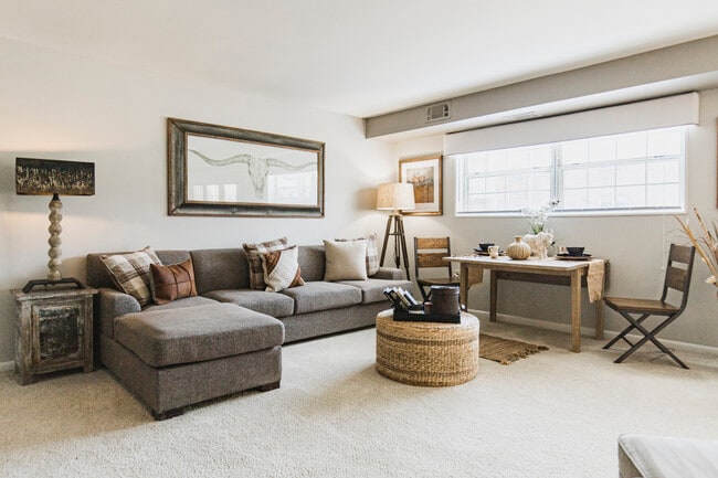
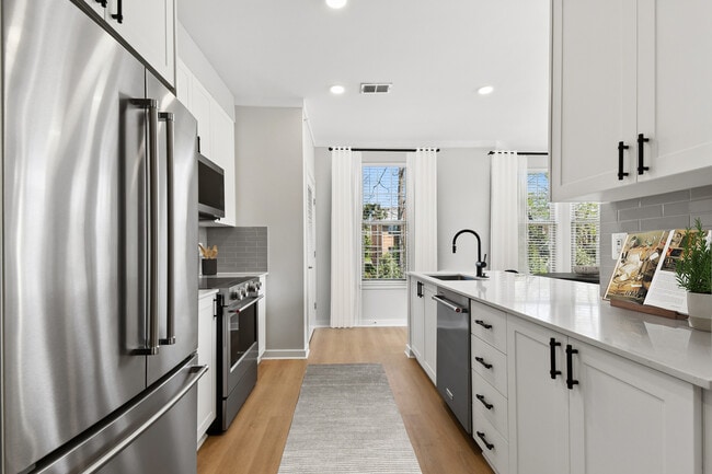
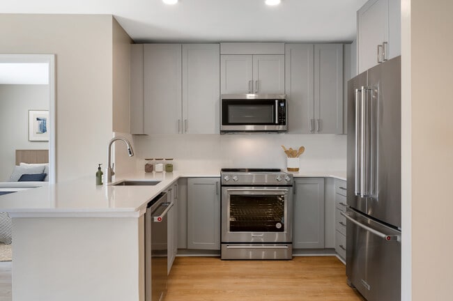
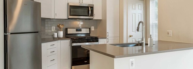
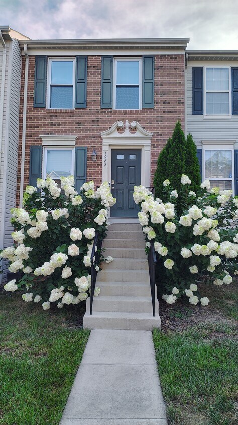
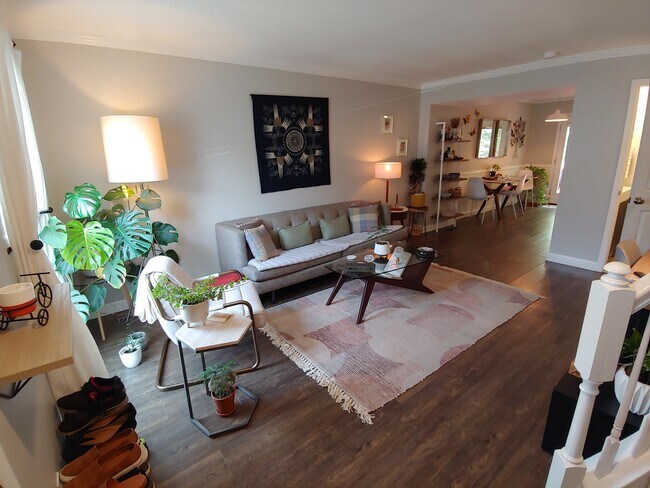
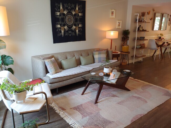
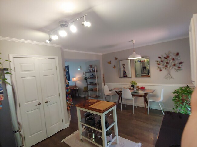
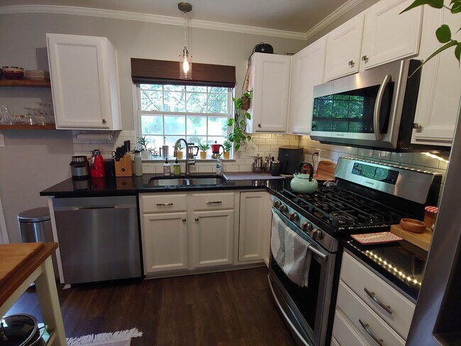
Beautifully Updated Lake Ridge Townhome | Available October 1, 2026 Welcome to this beautifully updated three-level townhome in Lake Ridge's desirable Park Center community. Offering approximately 1,648 square feet of spacious living, this home features hardwood floors, a large kitchen with island, updated countertops, stainless steel appliances, generous pantry, and two family rooms. The spacious primary suite boasts vaulted ceilings and a private bath with separate shower and soaking tub. The fully finished lower level offers a recreation room, additional bedroom, and full bath—perfect for guests, a home office, or additional living space. Enjoy peaceful wooded views from the oversized deck and the privacy of a fenced backyard. Ideally located just minutes from Fort Belvoir, Quantico, Route 123, I-95, commuter transportation, shopping, dining, parks, and everyday conveniences. Lease requirements: 680+ credit score and minimum gross monthly income of $6,500. No roommate situations. 18+ month lease preferred. Small dogs considered case-by-case. A wonderful opportunity to enjoy comfort, privacy, and convenience in one of Lake Ridge's desirable communities.

1982 Teasel Ct is a townhome located in Prince William County and the 22192 ZIP Code.

* Price shown is total price based on community-supplied monthly required fees. Excludes user-selected optional fees and variable or usage-based fees and required charges due at or prior to move-in or at move-out. Price, availability, fees, and any applicable rent special are subject to change without notice.
* Square footage definitions vary. Displayed square footage is approximate.

Contact

  • Listed by Allen McBride | Capital Property Management, LLC
  • Phone Number
  • Contact
| Edit

Under 30 minutes

Commute Time is calculated at rush hour.
Neighborhood

Woodbridge, VA lies about 35 minutes outside of Washington D.C. and is a part of the Interstate 95 corridor. The area considered I-95 Woodbridge sits conveniently right off I-95 and encompasses a less dense, suburban part of the city that’s separated from the heart of Woodbridge by I-95, making it a breeze to get to the nearest attractions or for your daily work commute. The area surrounds itself with parks and lakes, making it ideal for outdoor activities. The Occoquan River runs through part of Woodbridge providing beautiful waterside scenery. In addition to the state of Virginia bursting with historical nods, Outer Woodbridge proves no different. Woodbridge is next to Historical Occoquan that boasts quaint restaurants and shops. Never be without something interesting to explore during your stay in the outskirts of Woodbridge.

Learn more about living in I-95 Woodbridge 
Education
Colleges & Universities Distance
Drive: 12 min 5.1 mi
Drive: 19 min 10.8 mi
Drive: 24 min 14.0 mi
Drive: 28 min 14.9 mi
1982 Teasel Ct is within 12 minutes or 5.1 miles from NOVA, Woodbridge Campus. It is also near NOVA, Medical Edu. Campus and George Mason Univ., Fairfax.
Transportation

Transportation options available in Woodbridge include Franconia-Springfield, located 11.9 miles from 1982 Teasel Ct. 1982 Teasel Ct is near Ronald Reagan Washington Ntl, located 21.6 miles or 34 minutes away, and Washington Dulles International, located 29.6 miles or 52 minutes away.

Transit / Subway Distance
Drive: 19 min 11.9 mi
Commuter Rail Distance
2
Drive: 5 min 2.4 mi
Drive: 11 min 5.2 mi
Drive: 13 min 6.4 mi
Drive: 13 min 6.7 mi
1
Drive: 23 min 12.0 mi
Airports Distance
Airports Distance
Ronald Reagan Washington Ntl
Drive: 34 min 21.6 mi
Washington Dulles International
Drive: 52 min 29.6 mi
Getting Around
Fairly Walkable
Walkability
50 / 100
Minimal Public Transit
Transit
10 / 100
Exceptionally Drivable
Drivability
90 / 100
Fairly Bikeable
Bikeability
50 / 100

Scores provided by

What do Walkability, Transit, Drivability, and Bikeability mean? Walkability measures the walking distance to day-to-day needs. Transit measures access to public transportation. Drivability measures congestion, parking availability, and access to major roads. Bikeability measures the suitability for cycling. How It Works
-
Soundscore
- / 100

Traffic

-

Airport

-

Businesses

-

Scores provided by

HowLoud What is a Sound Score Rating? A Sound Score Rating aggregates noise caused by vehicle traffic, airplane traffic and local sources. How It Works
Points of Interest

Time and distance from 1982 Teasel Ct.

Shopping Centers Distance
Walk: 15 min 0.8 mi
Walk: 19 min 1.0 mi
Drive: 3 min 1.1 mi
1982 Teasel Ct has 3 shopping centers within 1.1 miles, which is about a 3-minute drive. The miles and minutes will be for the farthest away property.
Parks and Recreation Distance
Occoquan Bay National Wildlife Refuge
Drive: 10 min 3.8 mi
Occoquan Regional Park
Drive: 11 min 3.8 mi
Sandy Run Regional Park
Drive: 14 min 6.5 mi
Meadowood Recreation Area
Drive: 14 min 6.9 mi
Fountainhead Regional Park
Drive: 20 min 8.5 mi
1982 Teasel Ct has 5 parks within 8.5 miles, including Occoquan Regional Park, Occoquan Bay National Wildlife Refuge, and Sandy Run Regional Park.
Hospitals Distance
Hospitals Distance
Drive: 9 min 3.8 mi
Drive: 18 min 9.9 mi
1982 Teasel Ct is 3.8 miles from Sentara Northern Virginia Medical Center, and is convenient to other hospitals, including Fort Belvoir Community Hospital.
Military Bases Distance
Drive: 23 min 12.1 mi
Drive: 49 min 15.1 mi
Drive: 94 min 30.9 mi
1982 Teasel Ct has 3 military bases within 30.9 miles, the nearest is US Coast Guard which is 12.1 miles away and a 23 minute drive.

You May Also Like

Similar Rentals Nearby