
$4,095 / Month

1970 Hancock Dr

,

Fairfield, CA 94533

Share Listing
Favorites
707-446-0847
  • Bedrooms

    5

  • Bathrooms

    4.5

  • Square Feet

    3,624 sq ft

  • Available

    Available Nov 10

1970 Hancock Dr
Share Listing
Favorites

About This Home

$4,095 deposit, Available Nov 10

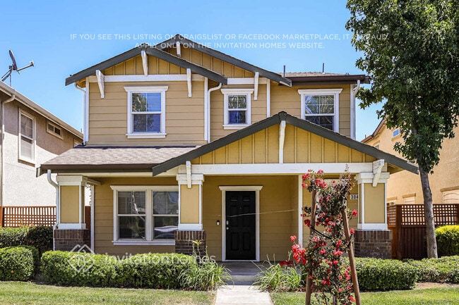
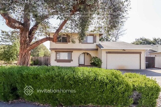
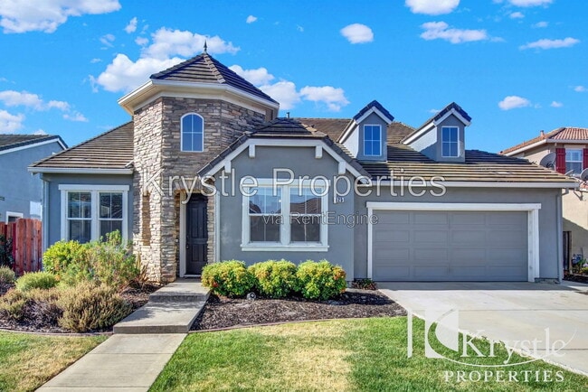
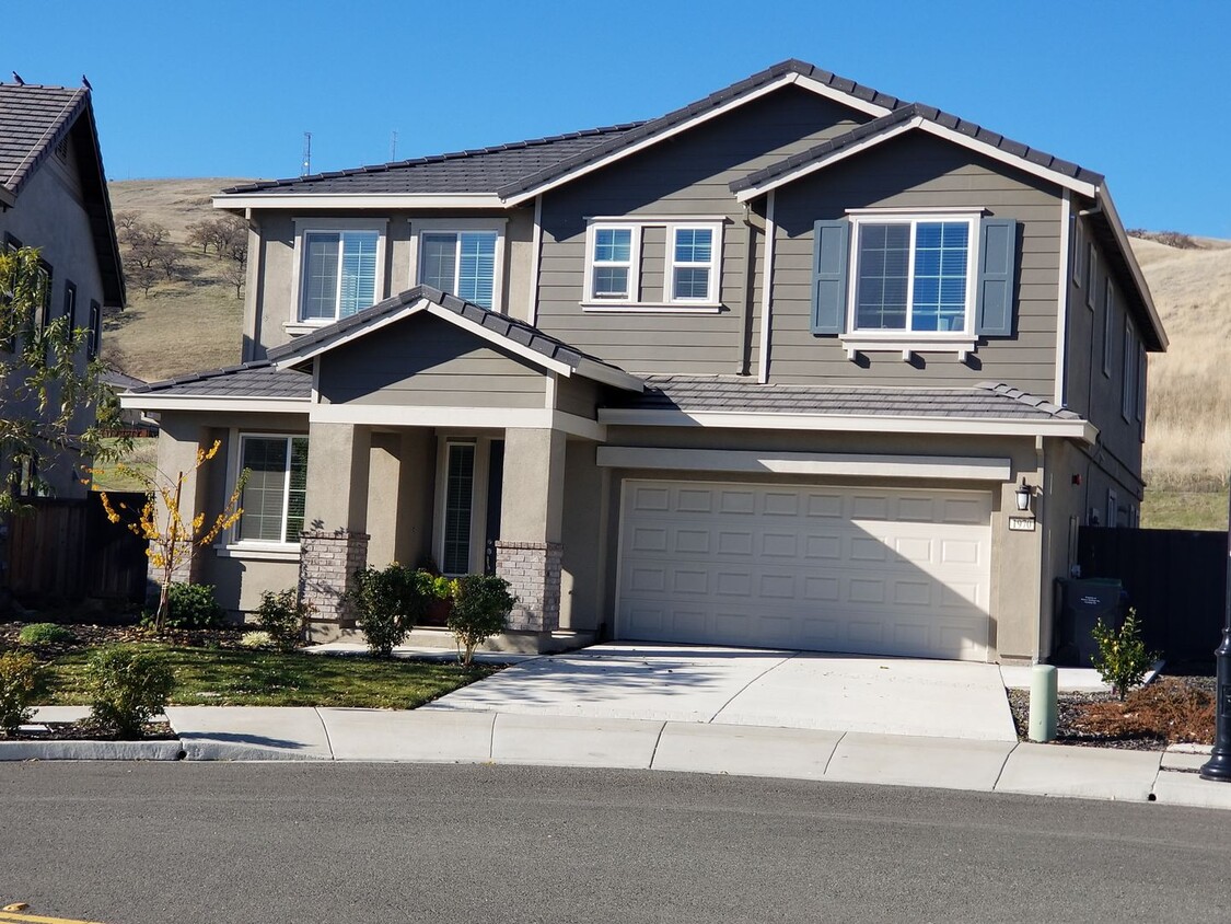
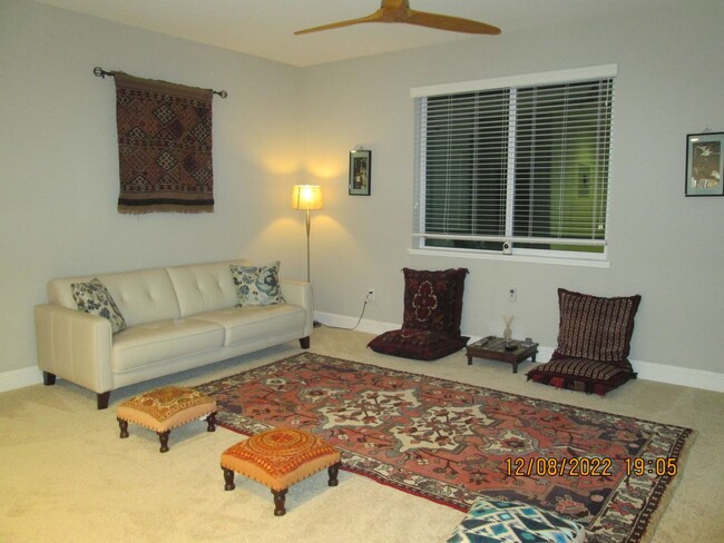
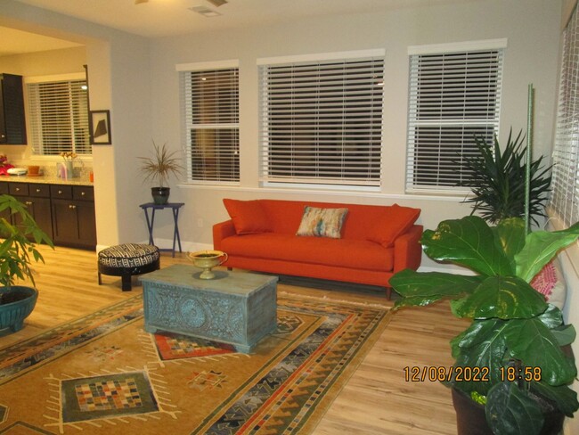
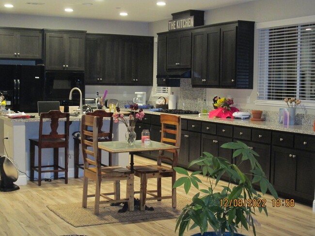
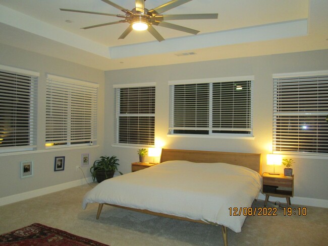
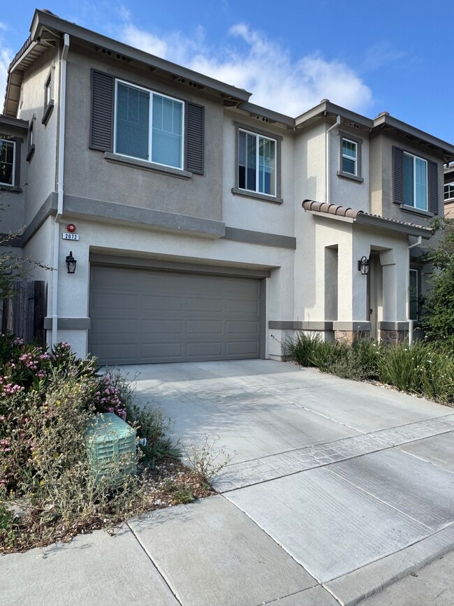
This is a Beautiful home located in the Gold Ridge Subdivision in Fairfield. Travis School District. 5 Bedroom, 4.5 Bathroom, plus a large loft upstairs. The modern features are showcased throughout the home from the unique ceiling fans, open, airy floorplan, wider hallways, tasteful floor coverings, and the windows let all of the natural light in. The large upstairs Main bedroom has a barn door entrance to the on-suite. Large pie shaped lot with stamped concrete, fruit trees and rock trim. This yard is low maintenance it and backs up to open space. Please keep in mind this is a no pet property. Close to Travis AFB, Easy Access to new Train Station, Vacaville, Fairfield or Suisun City shopping. Large park and Walking paths. Ready for occupancy beginning of November. Please contact Lorayne Rogers, Kappel & Kappel at prior to applying and for viewing procedures. Do Not Disturb Occupants.

Unique Features

  • 2 LARGE LIVING SPACES
  • Downstairs Laminate wood flooring
  • Granite Kitchen Countertops
  • Large kitchen with center island
  • Large loft upstairs.
  • Refrigerator- As Is
  • Solar

1970 Hancock Dr is a house located in Solano County and the 94533 ZIP Code.

* Price shown is base rent. Excludes user-selected optional fees and variable or usage-based fees and required charges due at or prior to move-in or at move-out. Price, availability, fees, and any applicable rent special are subject to change without notice.
* Square footage definitions vary. Displayed square footage is approximate.

House Features

  • Range

Contact

  • Listed by Kappel & Kappel, Inc. | Kappel & Kappel, Inc.
  • Phone Number
  • Contact
| Edit

Under 30 minutes

Commute Time is calculated at rush hour.
City - Fairfield

Fairfield sits at the center of Solano County as its county seat, planted squarely along Interstate 80 between Sacramento and San Francisco—making it a practical home base for people who work in either direction. Founded in 1856 by clipper ship captain Robert H. Waterman, who named it after his Connecticut hometown, the city has grown into a place with real economic range. Travis Air Force Base anchors a significant portion of the local economy, while the Jelly Belly Candy Company and Anheuser-Busch brewery add to a workforce that also draws from healthcare, retail, and commercial sectors. Solano Community College serves students throughout the region and adds an educational presence to the community.

Neighborhoods shift noticeably from one part of the city to another. Downtown and the West Texas Street corridor offer walkable blocks with local shops and a more urban rhythm, while Cordelia and Green Valley lean toward hillside settings with open space nearby.

Learn more about living in Fairfield 
Amenities
  • Range
  • 2 LARGE LIVING SPACES
  • Downstairs Laminate wood flooring
  • Granite Kitchen Countertops
  • Large kitchen with center island
  • Large loft upstairs.
  • Refrigerator- As Is
  • Solar
Education
Colleges & Universities Distance
Drive: 24 min 13.4 mi
Drive: 34 min 23.0 mi
Drive: 34 min 23.5 mi
Drive: 39 min 26.9 mi
1970 Hancock Dr is within 24 minutes or 13.4 miles from Solano Community College. It is also near UC Davis and Napa Valley College.
Transportation

1970 Hancock Dr is near Sacramento International, located 42.5 miles or 58 minutes away.

Commuter Rail Distance
Drive: 6 min 2.0 mi
Drive: 17 min 7.1 mi
Drive: 18 min 7.7 mi
Drive: 34 min 24.2 mi
Drive: 40 min 28.9 mi
Airports Distance
Airports Distance
Sacramento International
Drive: 58 min 42.5 mi
Getting Around
Not Walkable
Walkability
10 / 100
Minimal Public Transit
Transit
10 / 100
Exceptionally Drivable
Drivability
90 / 100
Fairly Bikeable
Bikeability
40 / 100

Scores provided by

What do Walkability, Transit, Drivability, and Bikeability mean? Walkability measures the walking distance to day-to-day needs. Transit measures access to public transportation. Drivability measures congestion, parking availability, and access to major roads. Bikeability measures the suitability for cycling. How It Works
-
Soundscore
- / 100

Traffic

-

Airport

-

Businesses

-

Scores provided by

HowLoud What is a Sound Score Rating? A Sound Score Rating aggregates noise caused by vehicle traffic, airplane traffic and local sources. How It Works
Points of Interest

Time and distance from 1970 Hancock Dr.

Shopping Centers Distance
Drive: 9 min 3.1 mi
Drive: 10 min 3.3 mi
Drive: 10 min 4.1 mi
1970 Hancock Dr has 3 shopping centers within 4.1 miles, which is about a 10-minute drive. The miles and minutes will be for the farthest away property.
Parks and Recreation Distance
Jepson Prairie Preserve
Drive: 31 min 15.9 mi
1970 Hancock Dr has a nearby park, Jepson Prairie Preserve , located 15.9 miles or 31 minutes away.
Hospitals Distance
Hospitals Distance
Drive: 9 min 3.8 mi
Drive: 16 min 6.9 mi
Drive: 16 min 8.6 mi
1970 Hancock Dr has 3 hospitals within 8.6 miles, the nearest is 60th Medical Group (Travis AFB) which is 3.8 miles away and a 9 minute drive.
Military Bases Distance
Drive: 10 min 4.4 mi
Drive: 36 min 24.7 mi
Drive: 62 min 36.7 mi
1970 Hancock Dr has 3 military bases within 36.7 miles, the nearest is Travis Air Force Base which is 4.4 miles away and a 10 minute drive.

You May Also Like

Similar Rentals Nearby