
$795
/ Month
1950 N 20th St
Milwaukee, WI 53205
Favorites
1950 N 20th St

Favorites
Check Back Soon for Upcoming Availability
| Beds | Baths | Average SF |
|---|---|---|
| 3 Bedrooms 3 Bedrooms 3 Br | 1 Bath 1 Bath 1 Ba | — |
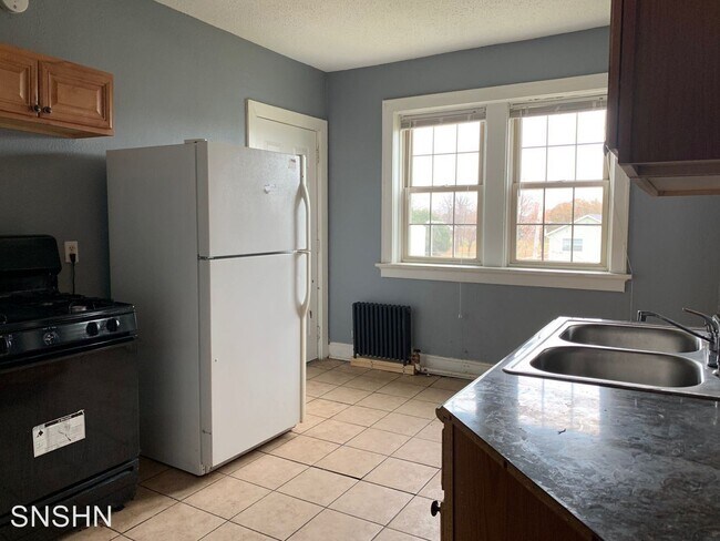
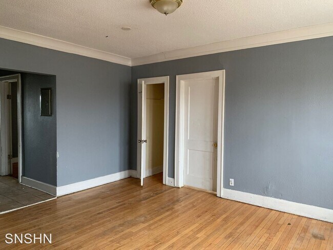
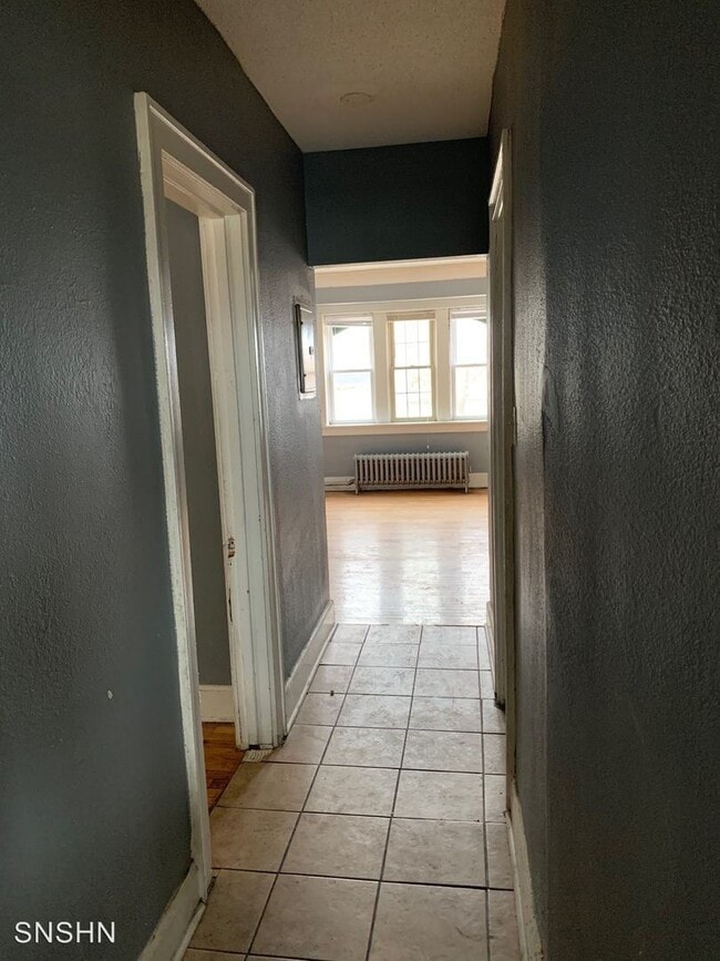
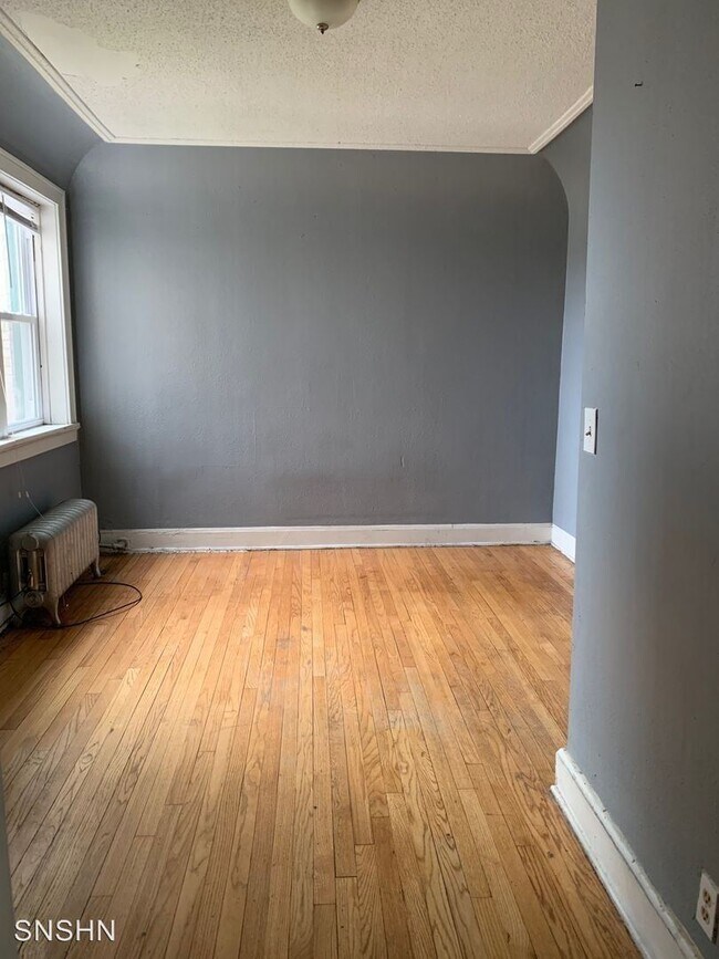
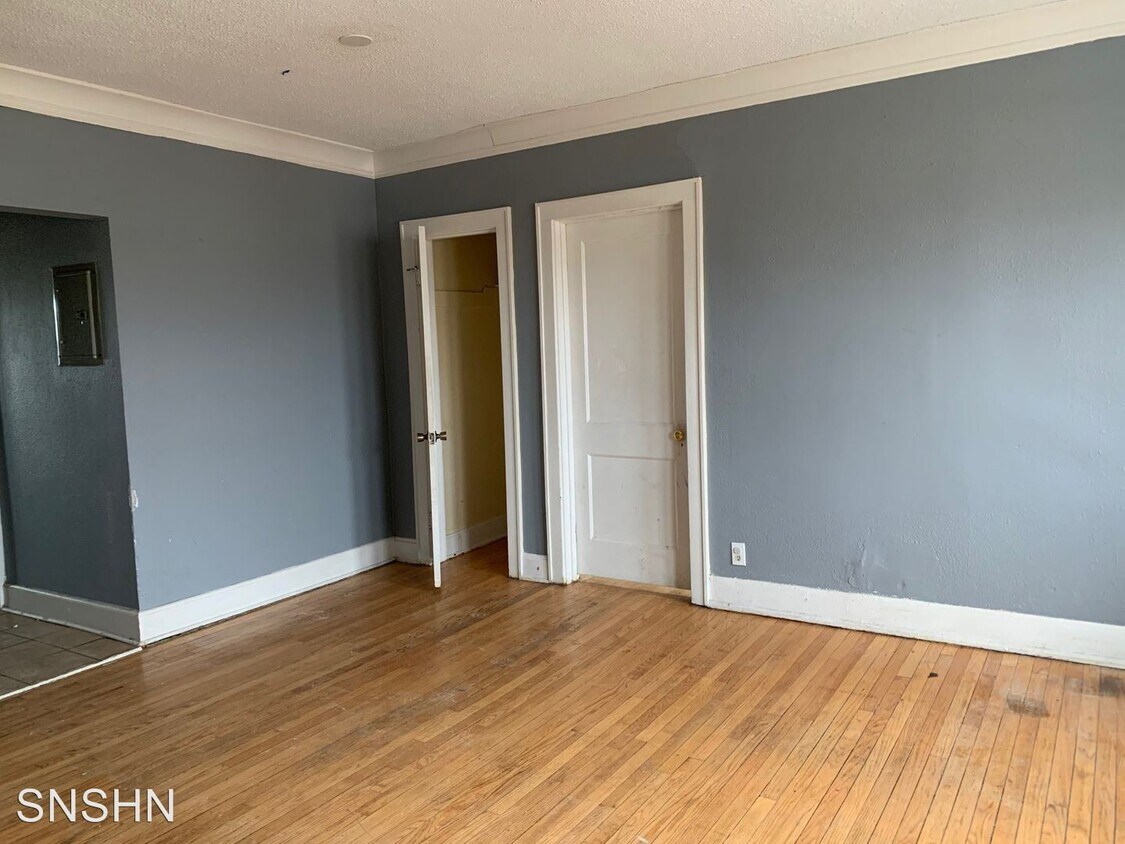
About This Property
(262) 735-5989 - - (RLNE5495000)
1950 N 20th St is an apartment community located in Milwaukee County and the 53205 ZIP Code.
1950 N 20th St,
Milwaukee,
WI
53205
Triangle, located northwest of downtown Milwaukee near Highway 145, sits relatively close to the city center with easy access to the neighborhoods of Avenues West and Brewer's Hill, along with downtown Milwaukee. The appropriately-named neighborhood follows West Fond Du Lac Avenue, coming to a point at the intersection of North 20th Street and West Walnut Street. Triangle is about three blocks north of Marquette University and about two miles from Downtown Milwaukee.
Learn more about living in TriangleBelow are rent ranges for similar nearby apartments
Education
| Colleges & Universities | Distance | ||
|---|---|---|---|
| Colleges & Universities | Distance | ||
| Drive: | 4 min | 1.6 mi | |
| Drive: | 5 min | 1.8 mi | |
| Drive: | 6 min | 2.2 mi | |
| Drive: | 12 min | 4.3 mi |
1950 N 20th St is within 4 minutes or 1.6 miles from Milwaukee Tech., Downtown. It is also near Marquette University and Milwaukee Sch. of Engineering.
Walkability Near 1950 N 20th St Milwaukee, WI 53205
Getting Around
 What do Walkability, Transit, Drivability, and Bikeability mean?
Walkability measures the walking distance to day-to-day needs.
Transit measures access to public transportation.
Drivability measures congestion, parking availability, and access to major roads.
Bikeability measures the suitability for cycling.
How It Works
What do Walkability, Transit, Drivability, and Bikeability mean?
Walkability measures the walking distance to day-to-day needs.
Transit measures access to public transportation.
Drivability measures congestion, parking availability, and access to major roads.
Bikeability measures the suitability for cycling.
How It Works
Moderately Walkable
Walkability
60
/ 100
Some Public Transit
Transit
50
/ 100
Very Drivable
Drivability
80
/ 100
Moderately Bikeable
Bikeability
60
/ 100
Scores provided by
-
Soundscore™
-
/ 100
Traffic
-Airport
-Businesses
-Scores provided by
HowLoud What is a Sound Score Rating? A Sound Score Rating aggregates noise caused by vehicle traffic, airplane traffic and local sources. How It WorksYou May Also Like
Similar Rentals Nearby


What Are Walk Score®, Transit Score®, and Bike Score® Ratings?
Walk Score® measures the walkability of any address. Transit Score® measures access to public transit. Bike Score® measures the bikeability of any address.
What is a Sound Score Rating?
A Sound Score Rating aggregates noise caused by vehicle traffic, airplane traffic and local sources.
1950 N 20th St
Milwaukee, WI 53205