$1,799 / Month
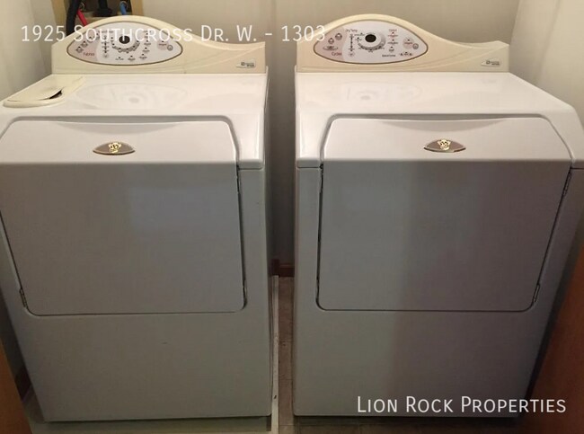
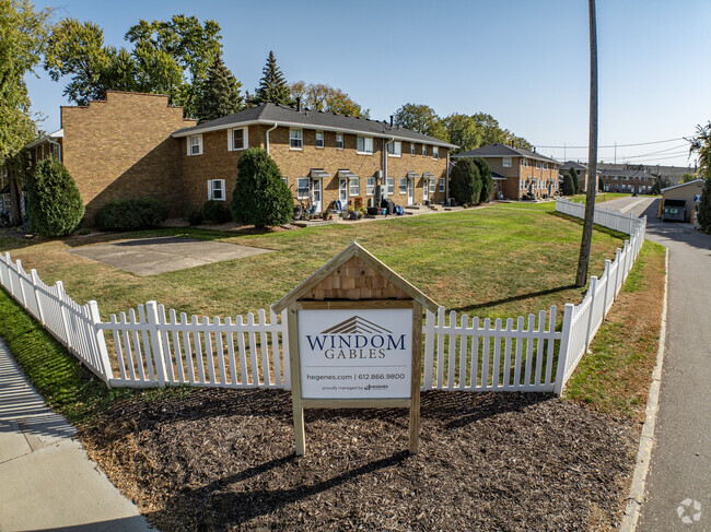
1925 Southcross Dr W
Burnsville, MN 55306
Today
Favorites
952-900-2324
-
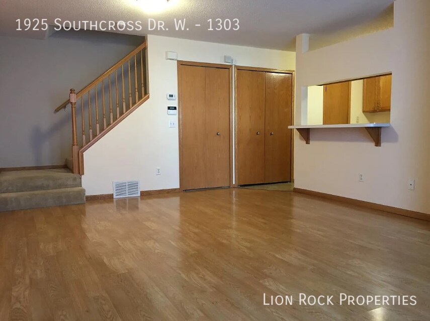
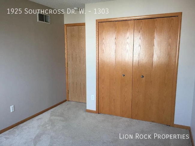
Bedrooms
2
-
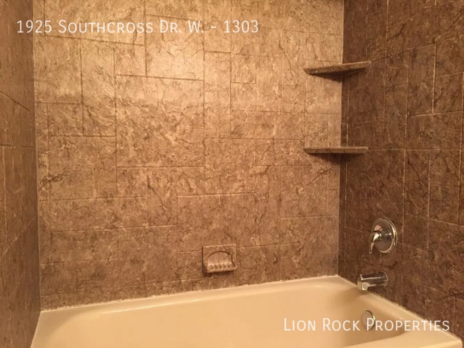
Bathrooms
1.5
-
Square Feet
--
-
Available
Available Jul 10
1925 Southcross Dr W

Favorites
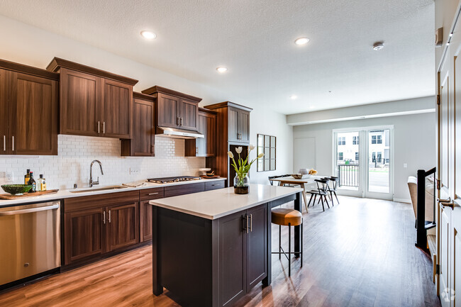
About This Home
Available Jul 10
---- SCHEDULE A SHOWING ONLINE AT: ----
1925 Southcross Dr W is a townhome located in Dakota County and the 55306 ZIP Code.
* Price shown is base rent and may not include non-optional fees and utilities.
Price, availability, fees, and any applicable rent special are subject to change without notice.
* Square footage definitions vary. Displayed square footage is approximate.
Contact
- Listed by Lion Rock Properties
- Phone Number
- Contact
Location
Get Directions
The far southwest suburbs of Dakota County sit roughly 25 miles from both downtown areas. Primarily families reside in this area, and they enjoy an affordable cost of living, well-planned neighborhoods and a short (half an hour in low traffic conditions) commute into the city.
In this expanse of the Twin Cities' urban fringe, residents have their choice of newly constructed homes on large lots or attractive apartments in large blocks with modern amenities. While parts of Dakota county overlap with St. Paul proper, the outer edges of the county still host farms and natural areas.
Learn more about living in Dakota Far Southwest Suburbs
Education
| Colleges & Universities | Distance | ||
|---|---|---|---|
| Colleges & Universities | Distance | ||
| Drive: | 18 min | 10.0 mi | |
| Drive: | 17 min | 11.4 mi | |
| Drive: | 28 min | 18.1 mi | |
| Drive: | 30 min | 18.2 mi |
1925 Southcross Dr W is within 18 minutes or 10.0 miles from Normandale Community College. It is also near Argosy University, Twin Cities and Inver Hills Community College.
Transportation options available in Burnsville include Mall Of America Station, located 12.0 miles from 1925 Southcross Dr W. 1925 Southcross Dr W is near Minneapolis-St Paul International/Wold-Chamberlain, located 15.1 miles or 23 minutes away.
| Transit / Subway | Distance | ||
|---|---|---|---|
| Transit / Subway | Distance | ||
|
|
Drive: | 19 min | 12.0 mi |
|
|
Drive: | 19 min | 12.2 mi |
|
|
Drive: | 19 min | 12.4 mi |
|
|
Drive: | 19 min | 13.8 mi |
| Commuter Rail | Distance | ||
|---|---|---|---|
| Commuter Rail | Distance | ||
|
|
Drive: | 32 min | 20.0 mi |
|
|
Drive: | 28 min | 20.8 mi |
|
|
Drive: | 40 min | 28.5 mi |
|
|
Drive: | 53 min | 38.2 mi |
|
|
Drive: | 54 min | 38.9 mi |
| Airports | Distance | ||
|---|---|---|---|
| Airports | Distance | ||
|
Minneapolis-St Paul International/Wold-Chamberlain
|
Drive: | 23 min | 15.1 mi |
Time and distance from 1925 Southcross Dr W.
| Shopping Centers | Distance | ||
|---|---|---|---|
| Shopping Centers | Distance | ||
| Walk: | 17 min | 0.9 mi | |
| Walk: | 19 min | 1.0 mi | |
| Drive: | 3 min | 1.2 mi |
1925 Southcross Dr W has 3 shopping centers within 1.2 miles, which is about a 3-minute walk. The miles and minutes will be for the farthest away property.
| Parks and Recreation | Distance | ||
|---|---|---|---|
| Parks and Recreation | Distance | ||
|
Buck Hill
|
Drive: | 4 min | 1.8 mi |
|
Minnesota Valley National Wildlife Refuge
|
Drive: | 13 min | 6.4 mi |
|
Minnesota Zoo
|
Drive: | 16 min | 7.5 mi |
|
Murphy-Hanrehan Park Reserve
|
Drive: | 16 min | 7.6 mi |
|
Cleary Lake Regional Park
|
Drive: | 19 min | 8.8 mi |
1925 Southcross Dr W has 5 parks within 8.8 miles, including Buck Hill, Murphy-Hanrehan Park Reserve, and Minnesota Valley National Wildlife Refuge.
| Hospitals | Distance | ||
|---|---|---|---|
| Hospitals | Distance | ||
| Drive: | 5 min | 2.4 mi |
1925 Southcross Dr W is 2.4 miles and a 5 minute drive from Fairview Ridges Hospital.
| Military Bases | Distance | ||
|---|---|---|---|
| Military Bases | Distance | ||
| Drive: | 26 min | 17.4 mi |
1925 Southcross Dr W is 17.4 miles and a 26 minute drive from Fort Snelling Military Reservation.
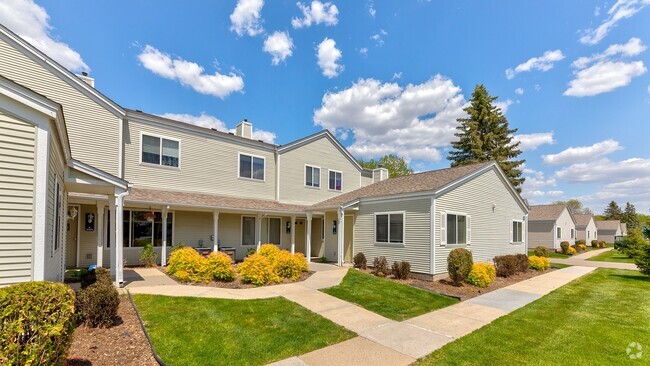
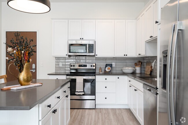
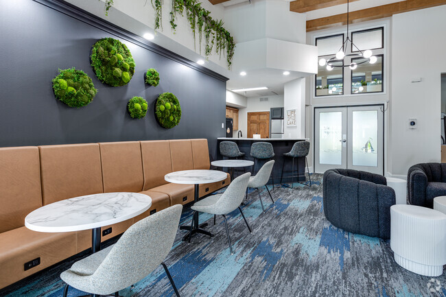
You May Also Like
Similar Rentals Nearby


What Are Walk Score®, Transit Score®, and Bike Score® Ratings?
Walk Score® measures the walkability of any address. Transit Score® measures access to public transit. Bike Score® measures the bikeability of any address.
What is a Sound Score Rating?
A Sound Score Rating aggregates noise caused by vehicle traffic, airplane traffic and local sources

1925 Southcross Dr W
Burnsville, MN 55306