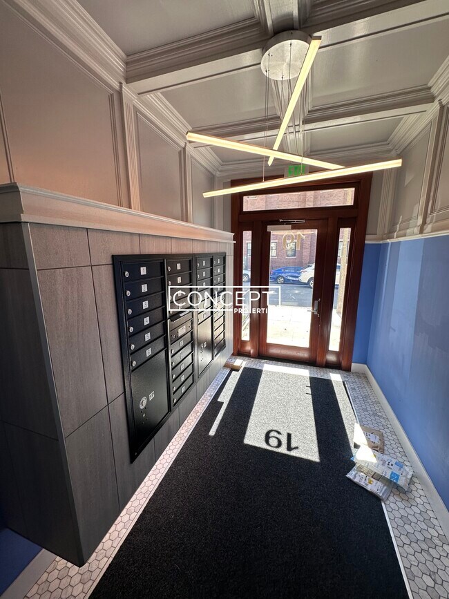
19 Peterborough St Unit 12B
Boston, MA 02215
-
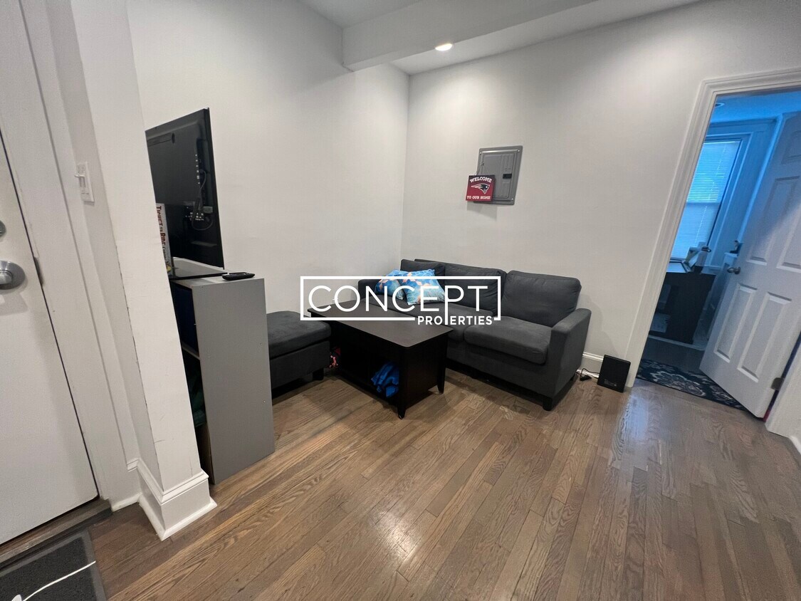
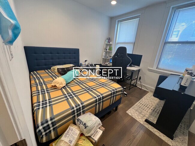
Bedrooms
2
-
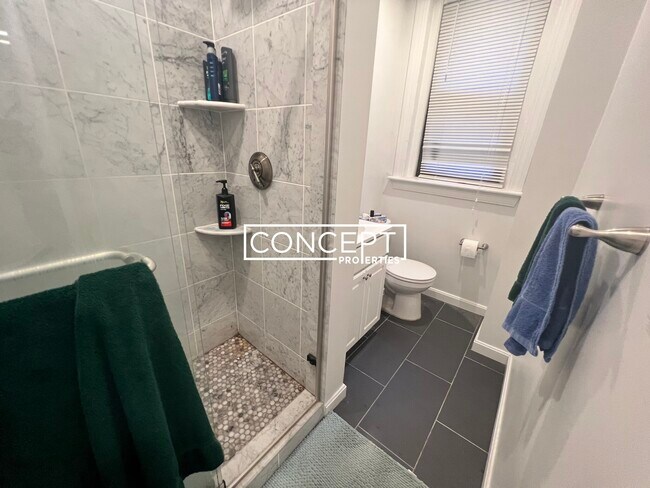
Bathrooms
1
-
Square Feet
--
-
Available
Available Now
Highlight
- Pets Allowed

About This Home
Transportation Bus: 39 Huntington Ave @ Forsyth Way (0.40 mi) Bus: 47 Ave Louis Pasteur @ The Fenway (0.39 mi) Tram: E Northeastern University (0.43 mi) Bus: 19 Louis Prang St @ Evans Way (0.41 mi) Bus: 55 Ipswich St @ Boylston St (0.07 mi) Bus: 8 Brookline Ave @ Jersey St (0.22 mi) Bus: 1 Massachusetts Ave @ Boylston St (0.46 mi) Tram: D Fenway (0.43 mi) Bus: 57 Kenmore (0.32 mi) Rail: Framingham/Worcester Line Lansdowne (0.30 mi) Tram: C Kenmore (0.32 mi) Disclaimer: Convenient to the Back Bay, South End, Bay Village, Beacon Hill, North End, Fenway, Kenmore, Audubon Circle, West End, Sowa, Mission Hill, Chinatown, Leather District, Downtown, Financial, Waterfront, Seaport, Charlestown, Prudential, Copley, Commons, Garden, Park, MBTA Line, Orange, Red, Green, Silver, Tufts, Boston Medical Center/BU Dental (BMC), Dana Farber, Children's, New England Medical Center (NEMC), Medicine, Brigham Women's, General, MGH, Beth Israel Hospital, BIDMC, Harvard, Longwood Area, Northeast
19 Peterborough St is a condo located in Suffolk County and the 02215 ZIP Code.
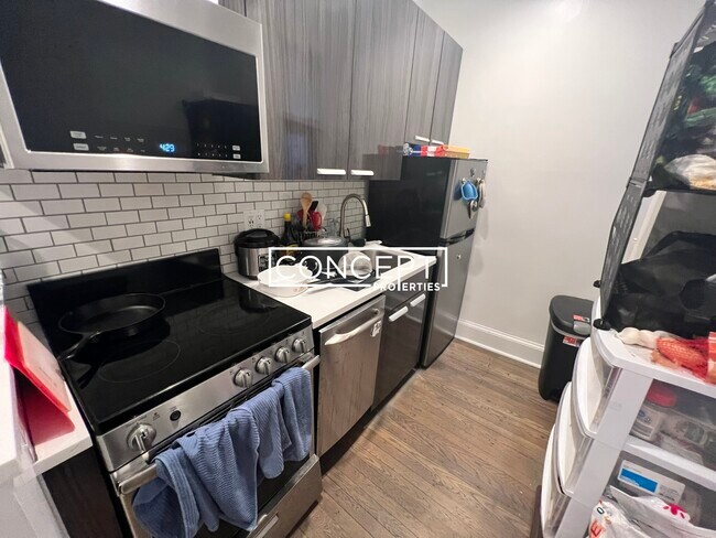
Condo Features
- Laundry Facilities
Fees and Policies
The fees below are based on community-supplied data and may exclude additional fees and utilities.
- Dogs Allowed
-
Fees not specified
- Cats Allowed
-
Fees not specified
Details
Utilities Included
-
Heat
Lease Options
-
12 Months
Contact
- Phone Number
- Website View Property Website
- Contact
-
Source

- Laundry Facilities
Tree-filled, historic, and packed with educational opportunity, there's no other neighborhood quite like Fenway. The neighborhood may be most well-known for its titular attraction, Fenway Park, home of the Boston Red Sox. However, the area is also renowned for its sprawling greenspace. The name "Fenway" refers to the neighborhood’s lush parkway and tree-filled paths that wind lazily through the area, forming part of Frederick Law Olmsted’s “Emerald Necklace Plan” (a chain of parks throughout Boston). The Fenway opened in 1876, and its route includes the Museum of Fine Arts and the Isabella Steward Gardner Museum.
Learn more about living in Fenway| Colleges & Universities | Distance | ||
|---|---|---|---|
| Colleges & Universities | Distance | ||
| Walk: | 7 min | 0.4 mi | |
| Walk: | 8 min | 0.4 mi | |
| Walk: | 11 min | 0.6 mi | |
| Walk: | 12 min | 0.6 mi |
Transportation options available in Boston include Fenway Station, located 0.4 mile from 19 Peterborough St Unit 12B. 19 Peterborough St Unit 12B is near General Edward Lawrence Logan International, located 6.3 miles or 14 minutes away.
| Transit / Subway | Distance | ||
|---|---|---|---|
| Transit / Subway | Distance | ||
|
|
Walk: | 7 min | 0.4 mi |
|
|
Walk: | 10 min | 0.6 mi |
|
|
Walk: | 10 min | 0.6 mi |
|
|
Walk: | 12 min | 0.6 mi |
|
|
Drive: | 3 min | 1.3 mi |
| Commuter Rail | Distance | ||
|---|---|---|---|
| Commuter Rail | Distance | ||
|
|
Drive: | 3 min | 1.4 mi |
|
|
Drive: | 7 min | 1.9 mi |
| Drive: | 6 min | 2.4 mi | |
|
|
Drive: | 8 min | 4.2 mi |
| Drive: | 15 min | 7.1 mi |
| Airports | Distance | ||
|---|---|---|---|
| Airports | Distance | ||
|
General Edward Lawrence Logan International
|
Drive: | 14 min | 6.3 mi |
Time and distance from 19 Peterborough St Unit 12B.
| Shopping Centers | Distance | ||
|---|---|---|---|
| Shopping Centers | Distance | ||
| Walk: | 10 min | 0.6 mi | |
| Walk: | 11 min | 0.6 mi | |
| Drive: | 9 min | 5.1 mi |
| Parks and Recreation | Distance | ||
|---|---|---|---|
| Parks and Recreation | Distance | ||
|
Coit Observatory
|
Drive: | 3 min | 1.3 mi |
|
Charles River Reservation
|
Drive: | 3 min | 1.3 mi |
|
John Fitzgerald Kennedy National Historic Site
|
Drive: | 4 min | 1.7 mi |
|
Roxbury Heritage State Park
|
Drive: | 5 min | 2.1 mi |
|
Boston Public Garden
|
Drive: | 6 min | 2.1 mi |
| Hospitals | Distance | ||
|---|---|---|---|
| Hospitals | Distance | ||
| Walk: | 7 min | 0.4 mi | |
| Walk: | 11 min | 0.6 mi | |
| Walk: | 16 min | 0.8 mi |
| Military Bases | Distance | ||
|---|---|---|---|
| Military Bases | Distance | ||
| Drive: | 28 min | 14.6 mi | |
| Drive: | 27 min | 15.6 mi |
You May Also Like
What Are Walk Score®, Transit Score®, and Bike Score® Ratings?
Walk Score® measures the walkability of any address. Transit Score® measures access to public transit. Bike Score® measures the bikeability of any address.
What is a Sound Score Rating?
A Sound Score Rating aggregates noise caused by vehicle traffic, airplane traffic and local sources

19 Peterborough St
Boston, MA 02215