


$1,075
Total Monthly PriceBase Rent$1,075
Required Monthly FeesNone
Total Monthly Price$1,075
12 Month Lease
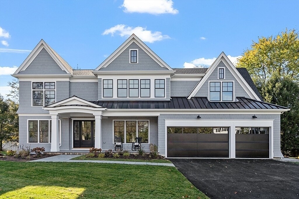
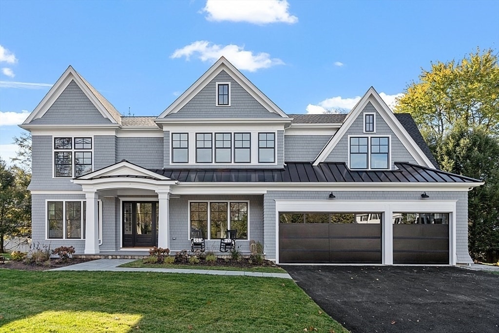
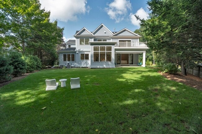
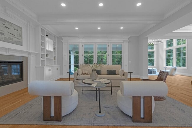
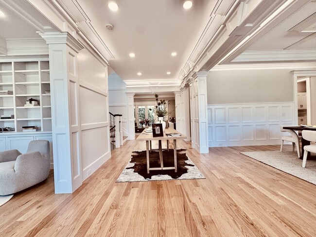
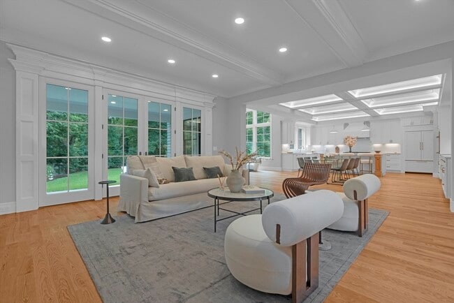
5 Beds, 3 Baths, 2,800 sq ft
House for Rent