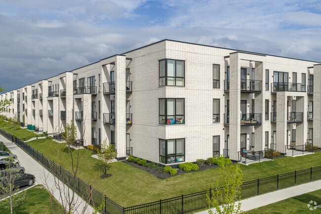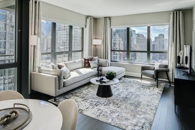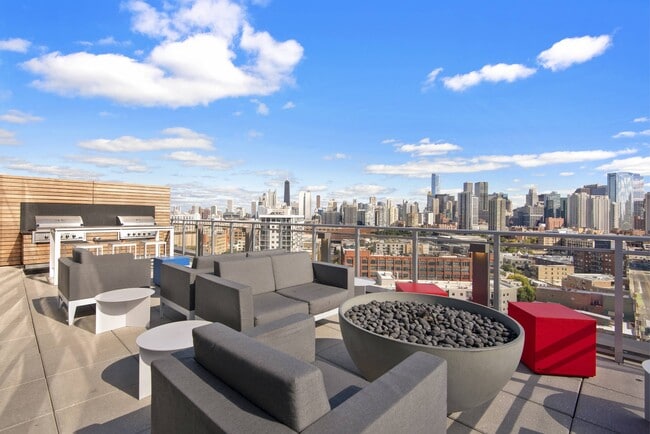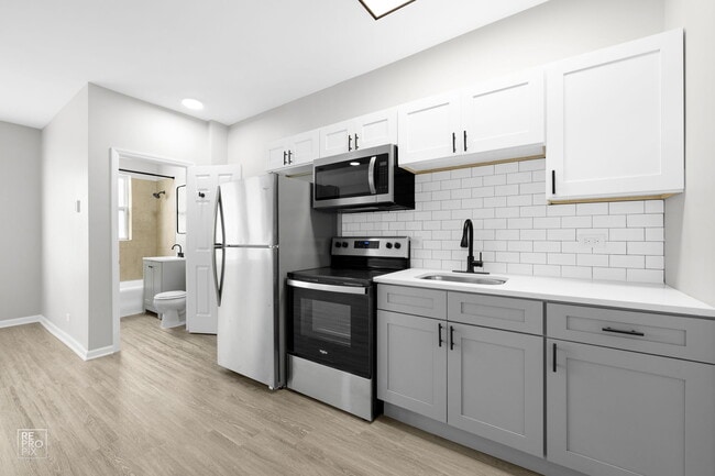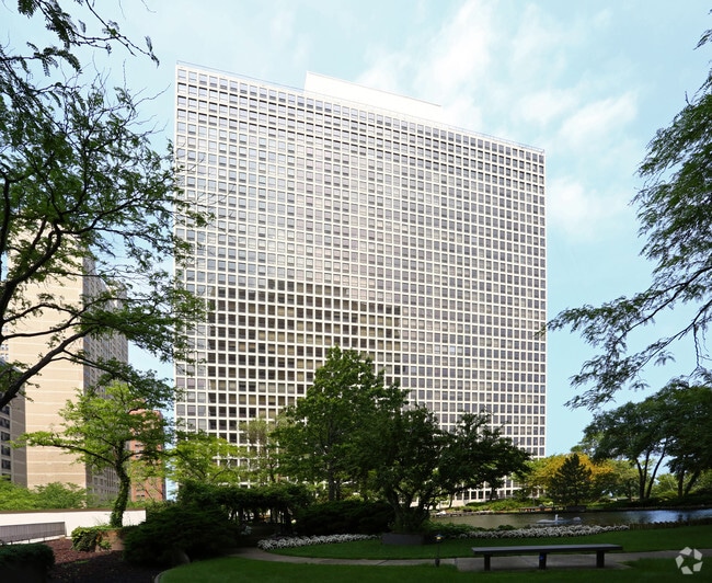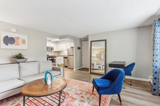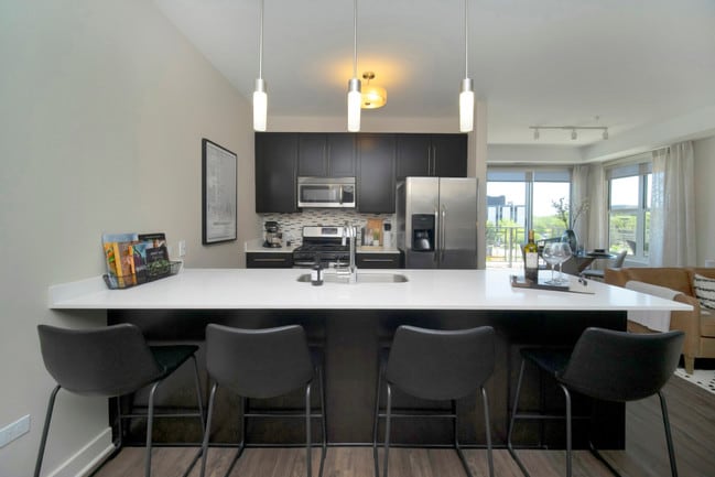
Presidential Towers
555 W Madison St,
Chicago, IL 60661
$1,645 - $6,488
Studio - 2 Beds
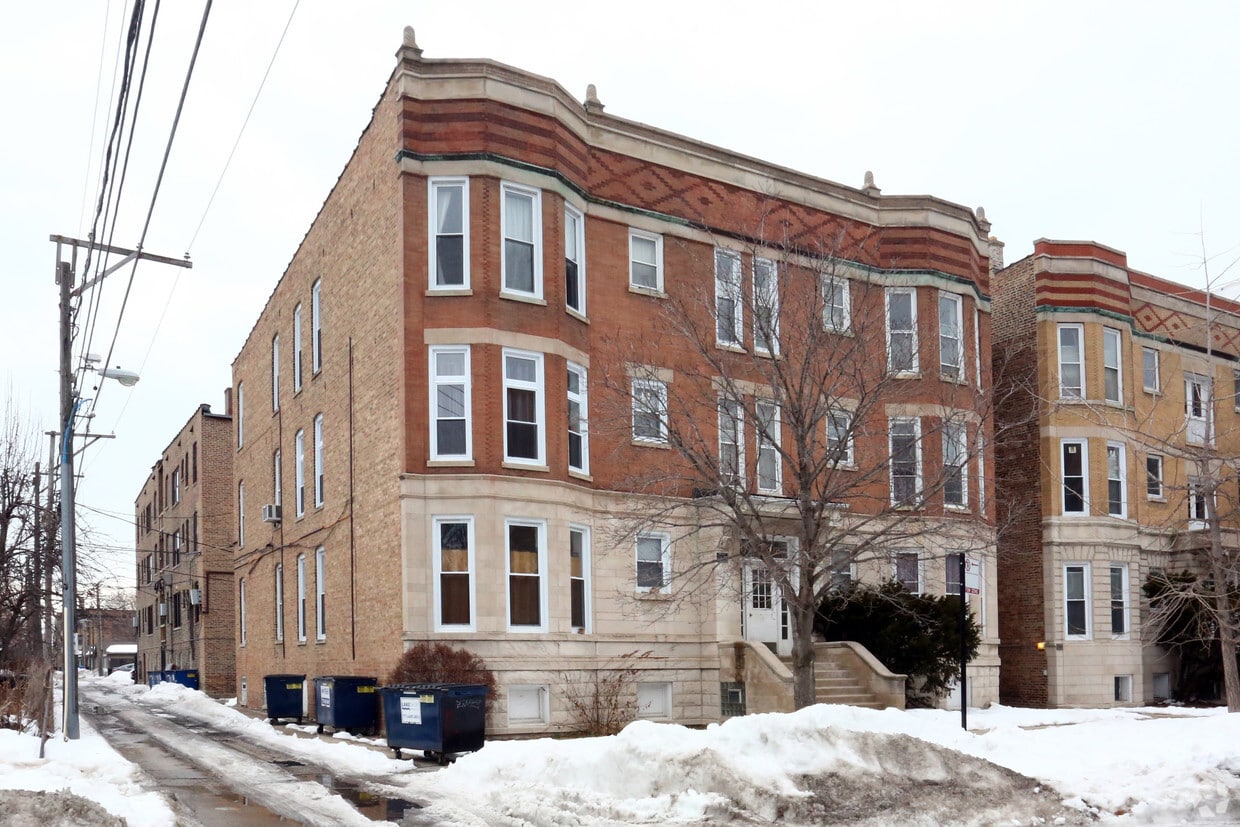

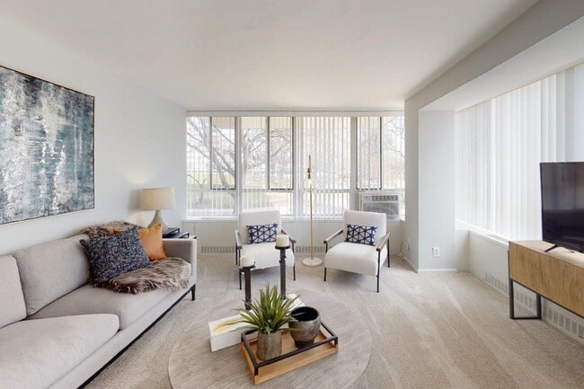
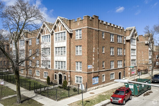
1712-1714 W Sunnyside Ave offers a combination of livability, quality and comfort. Be sure to come for a visit to see the available floorplan options. From amenities to availability, the leasing staff is ready to help you find your perfect floorplan. You'll experience a great selection of amenities at this community. Some of these include: smoke free options, high-speed internet access, and window coverings for your privacy. Get moving on finding your next place. Contact or stop by 1712-1714 W Sunnyside Ave to talk about leasing your next apartment!
1712-1714 W Sunnyside Ave is an apartment community located in Cook County and the 60640 ZIP Code. This area is served by the Chicago Public Schools attendance zone.
Unique Features
Ravenswood is a historic gem just 10 miles northwest of downtown Chicago. This neighborhood is family-friendly with extensive public transportation and easy access to major highways. People walk the neighborhood and also bike from place to place. You’ll want to visit Ravenswood’s Historic District where you’ll find 100-year old houses and Victorian mansions. In an old school space, you can watch popular films in this neighborhood staple, the Davis Theater.
Funky, hip, and chic restaurants, bars, and coffee shops reside in Ravenswood like Band of Bohemia on North Ravenswood Avenue. There’s a mix of public, private, and charter schools in the area that give residents a multitude of choices for their children. Community festivals are long-standing tradition in Ravenswood. The Ravenswood Art Walk occurs every September, and the Annual Taste of Ravenswood is an annual affair that celebrates its local eateries and craft beers.
Learn more about living in RavenswoodCompare neighborhood and city base rent averages by bedroom.
| Ravenswood | Chicago, IL | |
|---|---|---|
| Studio | $1,246 | $1,645 |
| 1 Bedroom | $1,543 | $2,049 |
| 2 Bedrooms | $2,294 | $2,587 |
| 3 Bedrooms | $3,245 | $3,094 |
| Colleges & Universities | Distance | ||
|---|---|---|---|
| Colleges & Universities | Distance | ||
| Walk: | 14 min | 0.8 mi | |
| Drive: | 6 min | 2.8 mi | |
| Drive: | 6 min | 2.9 mi | |
| Drive: | 8 min | 4.3 mi |


 The GreatSchools Rating helps parents compare schools within a state based on a variety of school quality indicators and provides a helpful picture of how effectively each school serves all of its students. Ratings are on a scale of 1 (below average) to 10 (above average) and can include test scores, college readiness, academic progress, advanced courses, equity, discipline and attendance data. We also advise parents to visit schools, consider other information on school performance and programs, and consider family needs as part of the school selection process.
Transportation options available in Chicago include Montrose Station (Brown Line), located 0.3 mile from 1712-1714 W Sunnyside Ave. 1712-1714 W Sunnyside Ave is near Chicago O'Hare International, located 14.0 miles or 23 minutes away, and Chicago Midway International, located 14.9 miles or 27 minutes away.
| Transit / Subway | Distance | ||
|---|---|---|---|
| Transit / Subway | Distance | ||
|
|
Walk: | 6 min | 0.3 mi |
|
|
Walk: | 11 min | 0.6 mi |
|
|
Drive: | 3 min | 1.1 mi |
|
|
Drive: | 2 min | 1.2 mi |
|
|
Drive: | 3 min | 1.2 mi |
| Commuter Rail | Distance | ||
|---|---|---|---|
| Commuter Rail | Distance | ||
|
|
Walk: | 8 min | 0.4 mi |
| Drive: | 5 min | 2.4 mi | |
|
|
Drive: | 7 min | 3.3 mi |
|
|
Drive: | 9 min | 3.8 mi |
|
|
Drive: | 7 min | 4.1 mi |
| Airports | Distance | ||
|---|---|---|---|
| Airports | Distance | ||
|
Chicago O'Hare International
|
Drive: | 23 min | 14.0 mi |
|
Chicago Midway International
|
Drive: | 27 min | 14.9 mi |
Scores provided by
 What do Walkability, Transit, Drivability, and Bikeability mean?
Walkability measures the walking distance to day-to-day needs.
Transit measures access to public transportation.
Drivability measures congestion, parking availability, and access to major roads.
Bikeability measures the suitability for cycling.
How It Works
What do Walkability, Transit, Drivability, and Bikeability mean?
Walkability measures the walking distance to day-to-day needs.
Transit measures access to public transportation.
Drivability measures congestion, parking availability, and access to major roads.
Bikeability measures the suitability for cycling.
How It Works
Traffic
-Airport
-Businesses
-Scores provided by
HowLoud What is a Sound Score Rating? A Sound Score Rating aggregates noise caused by vehicle traffic, airplane traffic and local sources. How It WorksTime and distance from 1712-1714 W Sunnyside Ave.
| Shopping Centers | Distance | ||
|---|---|---|---|
| Shopping Centers | Distance | ||
| Walk: | 10 min | 0.5 mi | |
| Walk: | 12 min | 0.6 mi | |
| Walk: | 13 min | 0.7 mi |
| Parks and Recreation | Distance | ||
|---|---|---|---|
| Parks and Recreation | Distance | ||
|
Chase Park
|
Walk: | 8 min | 0.4 mi |
|
Winnemac Park
|
Drive: | 4 min | 1.4 mi |
|
Wrightwood Park
|
Drive: | 6 min | 2.9 mi |
|
Warren Park
|
Drive: | 8 min | 3.6 mi |
|
Notebaert Nature Museum
|
Drive: | 7 min | 4.0 mi |
| Hospitals | Distance | ||
|---|---|---|---|
| Hospitals | Distance | ||
| Walk: | 13 min | 0.7 mi | |
| Drive: | 3 min | 1.6 mi | |
| Drive: | 4 min | 1.8 mi |
| Military Bases | Distance | ||
|---|---|---|---|
| Military Bases | Distance | ||
| Drive: | 31 min | 21.7 mi | |
| Drive: | 43 min | 30.1 mi | |
| Drive: | 51 min | 33.6 mi |
What Are Walk Score®, Transit Score®, and Bike Score® Ratings?
Walk Score® measures the walkability of any address. Transit Score® measures access to public transit. Bike Score® measures the bikeability of any address.
What is a Sound Score Rating?
A Sound Score Rating aggregates noise caused by vehicle traffic, airplane traffic and local sources.
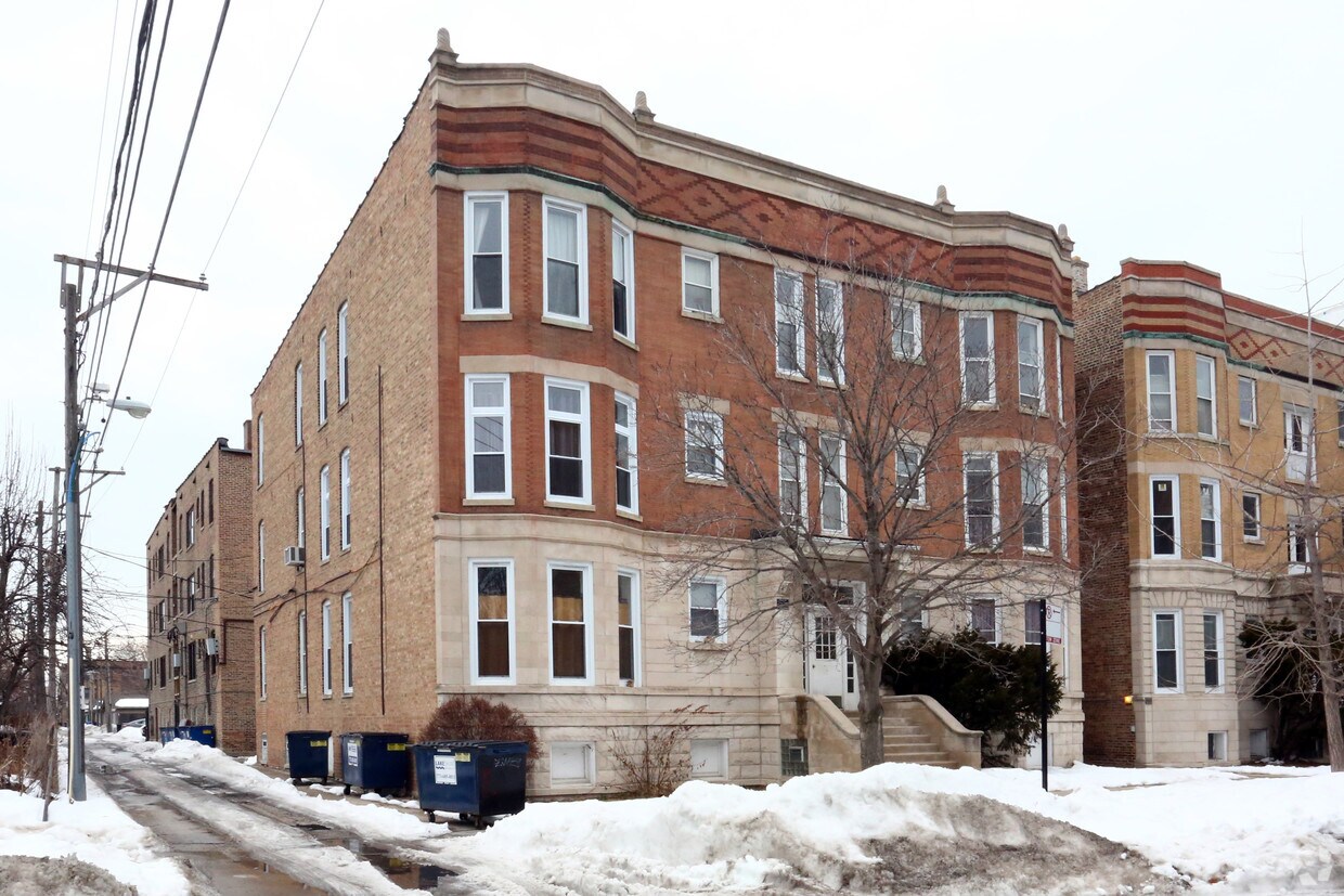
1712-1714 W Sunnyside Ave
Chicago, IL 60640