
16807 53rd Ave S
Tukwila, WA 98188
-
Bedrooms
Studio
-
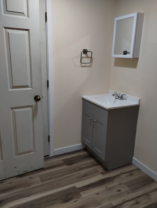
Bathrooms
1
-
Square Feet
1,000 sq ft
-
Available
Available Now
Highlights
- Pets Allowed
- Security System

16807 53rd Ave S is a house located in King County and the 98188 ZIP Code. This area is served by the Highline attendance zone.
House Features
Washer/Dryer
High Speed Internet Access
Wi-Fi
Security System
- High Speed Internet Access
- Wi-Fi
- Washer/Dryer
- Heating
- Cable Ready
- Security System
- Storage Space
- Surround Sound
Fees and Policies
The fees below are based on community-supplied data and may exclude additional fees and utilities.
- Dogs Allowed
-
Fees not specified
- Cats Allowed
-
Fees not specified
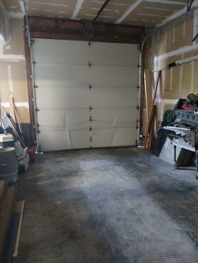
- Parking
-
Garage--
Details
Utilities Included
-
Gas
-
Water
-
Electricity
-
Heat
-
Trash Removal
-
Sewer
-
Cable
-
Air Conditioning
Property Information
-
Built in 2025
Contact
- Phone Number
- Contact
Home to corporate giants like Boeing and Group Health Cooperative, Tukwila is a major commercial center in the Puget Sound area, and much like Seattle it draws tens of thousands of commuters every day. The permanent population hovers around 20,000, mostly consisting of families.
The north side of town is dominated by the region’s aviation industry, home to the Boeing Military Flight Center, King County International Airport, and the Museum of Flight (SeaTac Airport lies just adjacent to the city’s south end). Numerous parks and sports facilities can be found throughout the community, particularly along the Duwamish River which runs the length of the city.
Learn more about living in Tukwila| Colleges & Universities | Distance | ||
|---|---|---|---|
| Colleges & Universities | Distance | ||
| Drive: | 13 min | 6.1 mi | |
| Drive: | 15 min | 7.4 mi | |
| Drive: | 23 min | 10.6 mi | |
| Drive: | 28 min | 15.9 mi |


View GreatSchools Rating Methodology
Data provided by GreatSchools.org © 2025. All rights reserved.
Transportation options available in Tukwila include Tukwila International Boulevard, located 2.2 miles from 16807 53rd Ave S. 16807 53rd Ave S is near Seattle-Tacoma International, located 2.4 miles or 8 minutes away, and Seattle Paine Field International, located 36.5 miles or 52 minutes away.
| Transit / Subway | Distance | ||
|---|---|---|---|
| Transit / Subway | Distance | ||
|
|
Drive: | 5 min | 2.2 mi |
|
|
Drive: | 6 min | 2.5 mi |
| Drive: | 8 min | 3.6 mi | |
|
|
Drive: | 13 min | 6.5 mi |
|
|
Drive: | 14 min | 6.6 mi |
| Commuter Rail | Distance | ||
|---|---|---|---|
| Commuter Rail | Distance | ||
|
|
Drive: | 8 min | 2.8 mi |
|
|
Drive: | 15 min | 7.7 mi |
| Drive: | 15 min | 7.7 mi | |
|
|
Drive: | 21 min | 12.7 mi |
|
|
Drive: | 24 min | 13.8 mi |
| Airports | Distance | ||
|---|---|---|---|
| Airports | Distance | ||
|
Seattle-Tacoma International
|
Drive: | 8 min | 2.4 mi |
|
Seattle Paine Field International
|
Drive: | 52 min | 36.5 mi |
Time and distance from 16807 53rd Ave S.
| Shopping Centers | Distance | ||
|---|---|---|---|
| Shopping Centers | Distance | ||
| Drive: | 4 min | 1.5 mi | |
| Drive: | 5 min | 1.6 mi | |
| Drive: | 5 min | 1.8 mi |
| Parks and Recreation | Distance | ||
|---|---|---|---|
| Parks and Recreation | Distance | ||
|
Highline SeaTac Botanical Garden
|
Drive: | 7 min | 3.5 mi |
|
Eagle Landing Park
|
Drive: | 12 min | 5.8 mi |
|
Riverview Park
|
Drive: | 12 min | 6.4 mi |
|
Kubota Gardens
|
Drive: | 13 min | 6.5 mi |
|
Lakeridge Park
|
Drive: | 17 min | 7.7 mi |
| Hospitals | Distance | ||
|---|---|---|---|
| Hospitals | Distance | ||
| Drive: | 8 min | 3.7 mi | |
| Drive: | 10 min | 4.5 mi | |
| Drive: | 10 min | 5.3 mi |
| Military Bases | Distance | ||
|---|---|---|---|
| Military Bases | Distance | ||
| Drive: | 40 min | 20.3 mi | |
| Drive: | 76 min | 55.3 mi |
- High Speed Internet Access
- Wi-Fi
- Washer/Dryer
- Heating
- Cable Ready
- Security System
- Storage Space
- Surround Sound
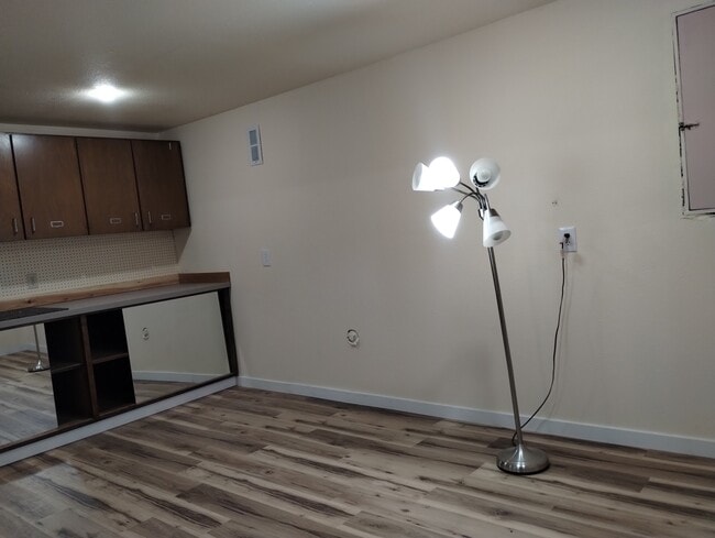
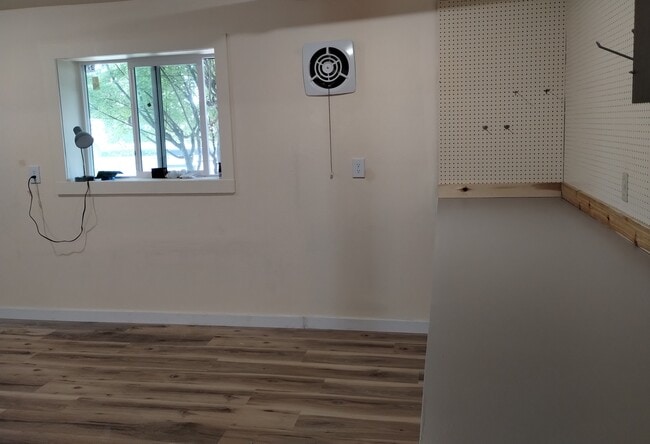
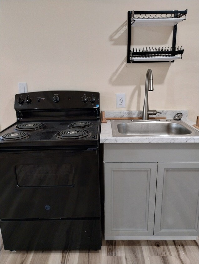
16807 53rd Ave S Photos
What Are Walk Score®, Transit Score®, and Bike Score® Ratings?
Walk Score® measures the walkability of any address. Transit Score® measures access to public transit. Bike Score® measures the bikeability of any address.
What is a Sound Score Rating?
A Sound Score Rating aggregates noise caused by vehicle traffic, airplane traffic and local sources
16807 53rd Ave S
Tukwila, WA 98188