

$3,550 / Month

1653 Los Gatos Way

,

Salinas, CA 93906

Share Listing
Favorites
831-484-8100
  • Bedrooms

    3

  • Bathrooms

    2

  • Square Feet

    1,235 sq ft

  • Available

    Available Now

1653 Los Gatos Way
Share Listing
Favorites

About This Home

$3,550 deposit, Available Now

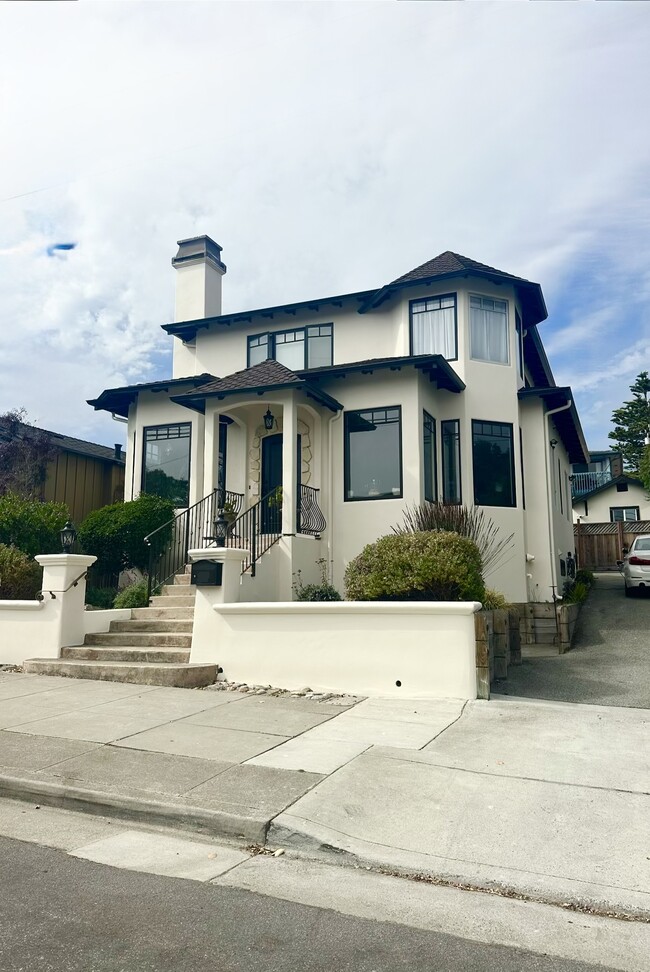
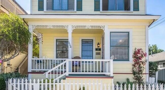
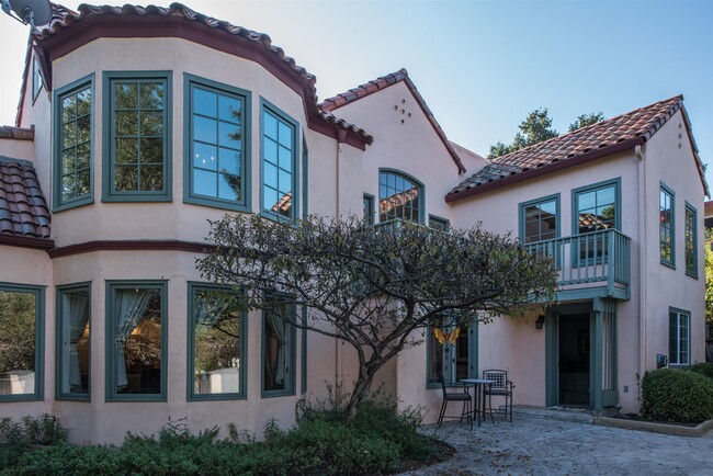
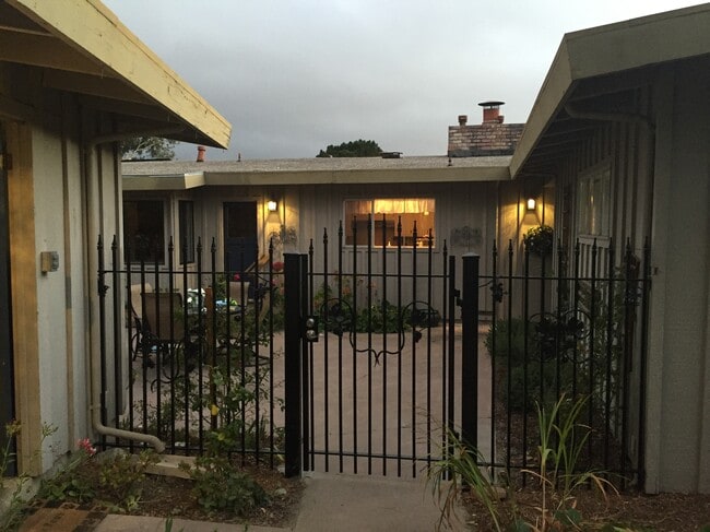
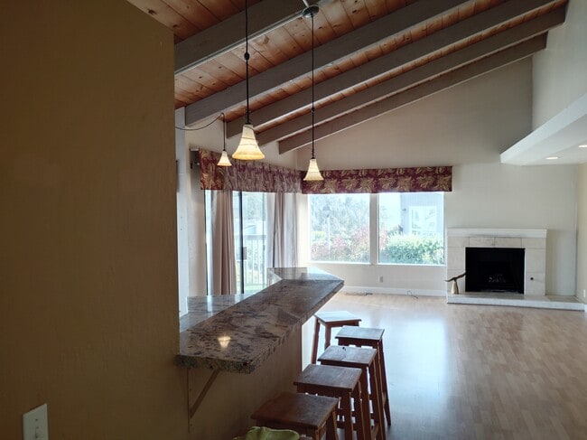
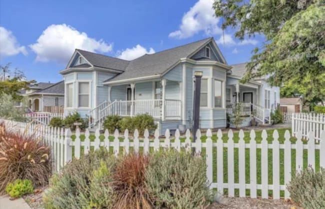
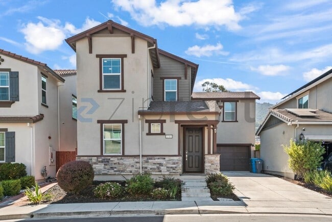
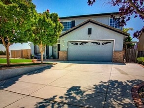
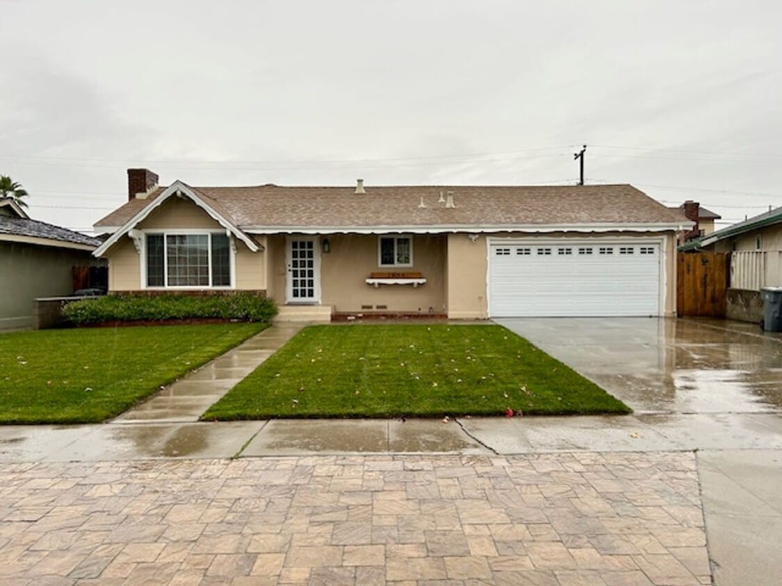
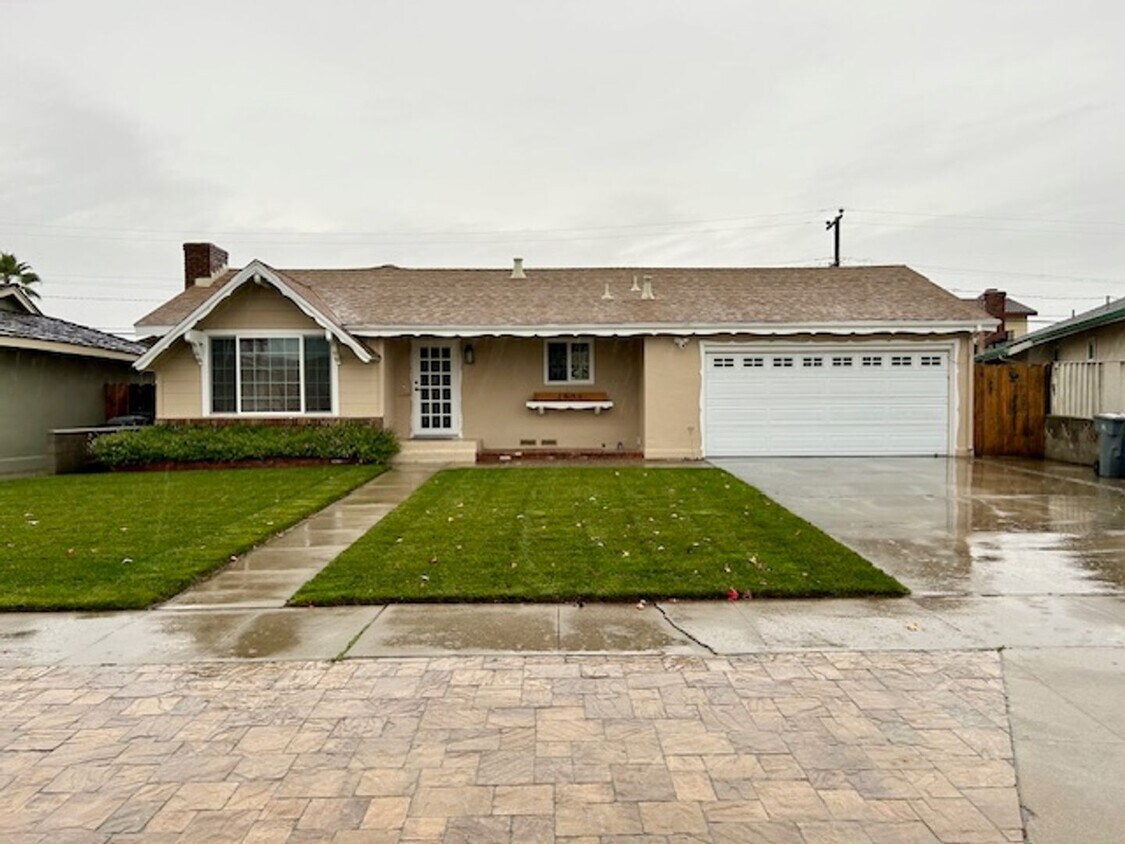
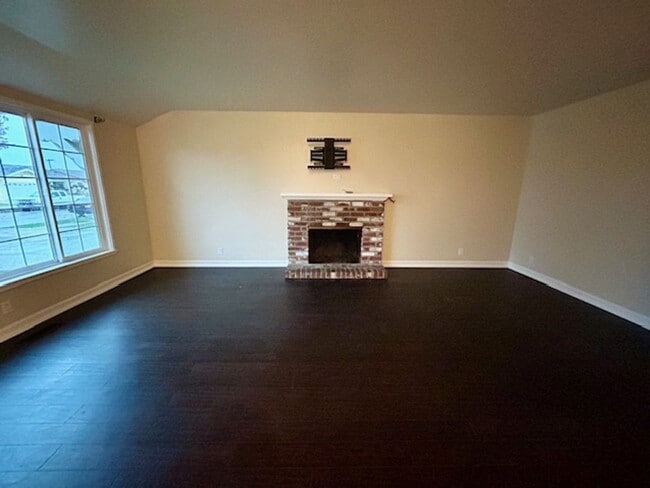
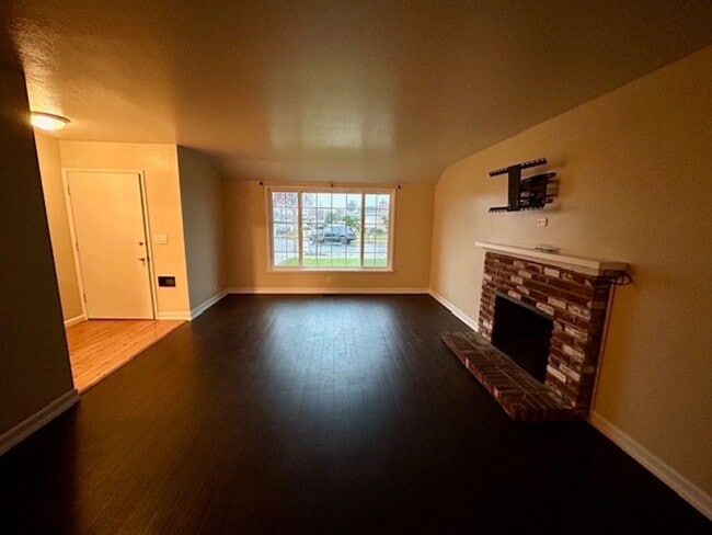
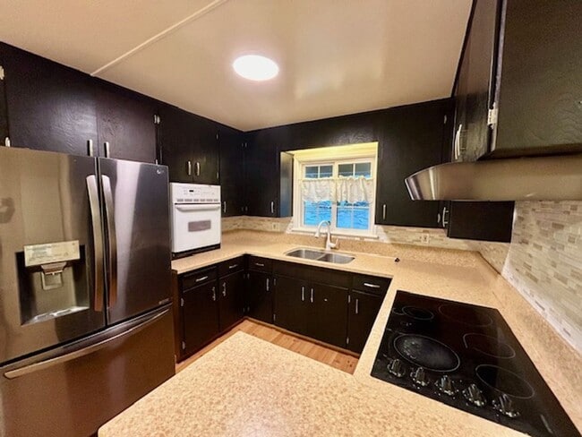
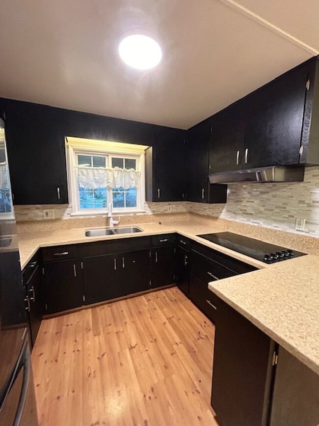
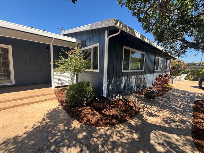
Experience both comfort and elegance in this welcoming 3 bedroom, 2 bathroom ranch-style residence. Highlighting a charming fireplace, contemporary stainless steel appliances, a convenient eat-in kitchen, and the added bonus of a covered patio, this home is designed for relaxation. Revel in the luxury of a two-car garage and a spacious backyard complemented by a sizable custom storage shed. Positioned strategically for maximum convenience, this home provides easy access to nearby amenities, schools, shopping centers, and more. It is an excellent option for those in search of a harmonious blend of comfort and convenience. Apply NOW! Owner pays Landscaper. Tenant pays all utilities. Renters insurance is required. LEASE OPTIONS: $3,550 per month through January 31, 2027. Longer lease option: $3,695 per month beginning February 1, 2027 through 07/31/2027. Applications are to be submitted at: ; applications are required for all occupants 18+. Contact Corral de Tierra Realty for more information, listings other than Corral de Tierra Realty are fraudulent. - Equal Housing Provider -

1653 Los Gatos Way is a house located in Monterey County and the 93906 ZIP Code. This area is served by the Salinas Union High School District attendance zone.

* Price shown is base rent. Excludes user-selected optional fees and variable or usage-based fees and required charges due at or prior to move-in or at move-out. Price, availability, fees, and any applicable rent special are subject to change without notice.
* Square footage definitions vary. Displayed square footage is approximate.

Contact

  • Listed by Corral de Tierra Realty, Inc. | Corral de Tierra Realty, Inc.
  • Phone Number
  • Contact
| Edit

Under 30 minutes

Commute Time is calculated at rush hour.
Neighborhood

With a diverse population and a mix of residential and commercial areas, as well as a large golf course and municipal airport, Greater Salinas supports numerous lifestyles. Set around the small Californian city of Salinas, with rural agricultural areas stretching east and south from the airport, the neighborhood combines urban grit with a small-town feel.

As with many areas of Salinas, the agricultural business plays a major role as an employer in the area. Downtown Salinas lies at the heart of the region, and just five miles from the outer reaches of the area. Within Greater Salinas you’ll find the municipal airport, and a collection of shops, restaurants, neighborhoods, and more.

Learn more about living in Greater Salinas 
Education
Colleges & Universities Distance
Drive: 9 min 3.8 mi
Drive: 26 min 13.3 mi
Drive: 33 min 21.8 mi
Drive: 37 min 27.1 mi
1653 Los Gatos Way is within 9 minutes or 3.8 miles from Hartnell College. It is also near Cal State Monterey Bay and Naval Postgraduate School.
Schools
Public Elementary School
Grades K-5
445 Students
Attendance Zone
Public Elementary School
Grades PK-5
62 Students
Nearby
Public Middle School
Grades 6-8
1,101 Students
Attendance Zone
Public High School
Grades 9-12
1,978 Students
Attendance Zone
Private Elementary & Middle School
Grades PK-8
200 Students
Nearby
Private Elementary & Middle School
Grades K-8
174 Students
Nearby
Private Elementary, Middle & High School
Grades K-12
Nearby
Transportation

1653 Los Gatos Way is near Monterey Regional, located 18.6 miles or 28 minutes away.

Commuter Rail Distance
Drive: 7 min 3.2 mi
Drive: 35 min 27.1 mi
Drive: 43 min 34.1 mi
Drive: 43 min 34.2 mi
Drive: 49 min 38.1 mi
Airports Distance
Airports Distance
Monterey Regional
Drive: 28 min 18.6 mi
Getting Around
Fairly Walkable
Walkability
40 / 100
Limited Public Transit
Transit
20 / 100
Moderately Drivable
Drivability
70 / 100
Fairly Bikeable
Bikeability
40 / 100

Scores provided by

What do Walkability, Transit, Drivability, and Bikeability mean? Walkability measures the walking distance to day-to-day needs. Transit measures access to public transportation. Drivability measures congestion, parking availability, and access to major roads. Bikeability measures the suitability for cycling. How It Works
Active
Soundscore
79 / 100

Traffic

Busy

Airport

Calm

Businesses

Calm

Scores provided by

HowLoud What is a Sound Score Rating? A Sound Score Rating aggregates noise caused by vehicle traffic, airplane traffic and local sources. How It Works
Points of Interest

Time and distance from 1653 Los Gatos Way.

Shopping Centers Distance
Walk: 7 min 0.4 mi
Walk: 18 min 1.0 mi
Drive: 6 min 2.4 mi
1653 Los Gatos Way has 3 shopping centers within 2.4 miles, which is about a 6-minute drive. The miles and minutes will be for the farthest away property.
Parks and Recreation Distance
Fort Ord National Monument
Drive: 14 min 7.8 mi
Toro County Park
Drive: 15 min 9.9 mi
Elkhorn Slough National Esturine Research Reserve
Drive: 23 min 13.4 mi
Salinas River National Wildlife Refuge
Drive: 25 min 15.0 mi
Fremont Peak State Park
Drive: 52 min 30.3 mi
1653 Los Gatos Way has 5 parks within 30.3 miles, including Fort Ord National Monument, Toro County Park, and Elkhorn Slough National Esturine Research Reserve.
Hospitals Distance
Hospitals Distance
Drive: 3 min 1.5 mi
Drive: 8 min 4.1 mi
1653 Los Gatos Way is 1.5 miles from Natividad Medical Center, and is convenient to other hospitals, including Salinas Valley Memorial Hospital.
Military Bases Distance
Drive: 35 min 22.9 mi
Drive: 41 min 25.9 mi
Drive: 87 min 70.3 mi
1653 Los Gatos Way has 3 military bases within 70.3 miles, the nearest is Presidio of Monterey which is 22.9 miles away and a 35 minute drive.

You May Also Like

Similar Rentals Nearby